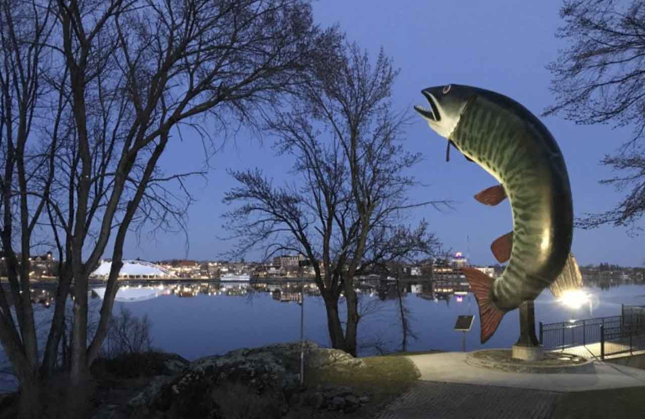
Northwestern Ontario Weather Desk: Three-Day Forecast for October 8-10, 2026
Thunder Bay – Weather — Thursday, October 8, 2026: A sharp autumn change is moving across the region. Most communities will see a cool, breezy Thursday, milder temperatures on Saturday and a growing chance of rain. The far north will be colder, with some rain-and-snow risk. Travellers, families and outdoor workers should check local updates before leaving because conditions can change quickly over long distances.
Forecast checked: 6:55 a.m. EDT, Thursday, October 8, 2026. Forecasts below are from Environment and Climate Change Canada (ECCC) location pages issued this morning. This is a planning forecast, not a guarantee for every lake, airstrip or gravel road.
At a glance
- Thursday: West to northwest winds are strongest in the west and north. Gusts may reach 50 km/h in many communities and 60 km/h near Atikokan. Highs range from 9 C in Pickle Lake and the far north to 16 C in the Rainy River district.
- Friday: Cloud increases. Showers become more likely in the afternoon, especially from Kenora through Sioux Lookout and into the far north. Southeast winds may gust to 40-50 km/h in the west and south.
- Saturday: A mild spell arrives, with highs near 17-24 C in the south and central west. Cloud and showers continue, while Pickle Lake, Sandy Lake and Fort Severn remain cooler and wetter.
- Alerts: No active ECCC public weather alert for Northwestern Ontario was displayed during the morning check. Recheck the ECCC map before travel because alerts can be issued or changed at any time.
Three-day community forecast
| Community or area | Thursday, Oct. 8 | Friday, Oct. 9 | Saturday, Oct. 10 |
|---|---|---|---|
| Kenora and Lake of the Woods | Mainly sunny. Northwest wind 20 km/h, gusting to 40. High 14 C; clear tonight, low 3 C. | Cloud increasing early; 30% chance of afternoon showers. Southeast wind 30 km/h, gusting to 50. High 13 C; showers possible overnight, low 10 C. | Cloudy with a 30% chance of showers. High 22 C; cloudy overnight, low 9 C. |
| Dryden and Vermilion Bay | Mix of sun and cloud. Northwest wind 30 km/h, gusting to 50 late morning. High 13 C; clear tonight, low 0 C. | Mix of sun and cloud; 30% chance of afternoon showers. East wind near 20 km/h late day. High 13 C; cloudy with a 30% chance of showers overnight, low 8 C. | Cloudy with a 30% chance of showers. High 21 C; cloudy overnight, low 10 C. |
| Sioux Lookout and Savant Lake | Cloud clearing to sun and cloud. Northwest wind 30 km/h, gusting to 50. High 11 C; low -1 C tonight. Savant Lake may see a few showers and a similar wind pattern. | Mainly sunny at first, then cloud builds. 40% chance of afternoon showers; south wind near 20 km/h. High 11 C; 40% chance of showers overnight, low 6 C. | Cloudy with a 30% chance of showers. High 20 C; low 8 C. |
| Red Lake and Ear Falls | Sun and cloud. Northwest wind 20-30 km/h, gusting to 40-50. High 11-12 C; partly cloudy tonight, low 2 C. | Cloud increasing with a 40% chance of afternoon showers. South wind near 20 km/h; Ear Falls may see east wind 30 km/h gusting to 50 late day. High 11 C; low 8 C with showers possible overnight. | Cloudy with a 30% chance of showers. High 17 C; low 7 C. |
| Fort Frances, Emo and Rainy River | Sunny, becoming breezy from the west near noon. High 16 C; a few clouds tonight, low 1 C. | Mix of sun and cloud with a 30% chance of afternoon showers. Southeast wind 20 km/h, gusting to 40. High 16 C; cloudy with a 30% chance of showers overnight, low 10 C. | Mix of sun and cloud with a 30% chance of showers. High 24 C; low 12 C. |
| Atikokan and Quetico | Mix of sun and cloud with a 30% chance of showers. West wind 20 km/h, gusting to 60 late morning. High 15 C; clearing late, low -1 C. | Cloud increasing. Southeast wind near 20 km/h late afternoon. High 14 C; 30% chance of showers overnight, low 6 C. | Mix of sun and cloud with a 30% chance of showers. High 23 C; low 10 C. |
| Pickle Lake | Mainly cloudy with a 60% chance of showers. Northwest wind near 20 km/h. High 9 C; 40% chance of showers this evening and fog patches overnight, low 1 C. | Mainly cloudy with a 30% chance of showers late morning and early afternoon. Fog patches dissipate. High 9 C; periods of rain overnight, low 3 C. | Cloudy with a 60% chance of rain. High 13 C; 60% chance of rain overnight, low 4 C. |
| Far-north fly-in communities, including Sandy Lake and Fort Severn | Mostly cloudy with a 40% chance of showers. Northwest winds near 20 km/h; highs near 5-9 C. Rain showers may mix with flurries overnight. | Cloudy with showers or flurries early, then rain showers. Highs near 6-9 C; lows near 1-4 C. Fog may affect air operations. | Cloudy with a 60% chance of rain or snow in Fort Severn and rain in Sandy Lake. Highs near 4-13 C, depending on location. |
What this means for travel
The main travel concern Thursday is wind. Crosswinds can be difficult for high-profile vehicles, campers and light aircraft, especially on exposed sections of Highway 17, Highway 11, Highway 105 and local roads near open lakes. Gusts near 50 km/h are forecast around Kenora, Dryden, Vermilion Bay, Sioux Lookout and Ear Falls; Atikokan may see gusts near 60 km/h.
Friday afternoon brings a second concern: showers arriving as winds turn southeast. Wet pavement, spray and lower visibility are possible. On Saturday, warmer air will not remove the risk of poor visibility in rain or fog in the north. Check Ontario 511 for incidents, roadwork, closures and current driving conditions before a long trip. Do not rely on an earlier screenshot or yesterday’s road report.
School bus status
The Northwestern Ontario Student Services Consortium’s current alert identified KN41 and KN42 as cancelled Thursday, October 8 because of a driver shortage. This is an operational cancellation, not a weather cancellation. No region-wide weather-related school-bus cancellation was listed in the available morning check. Families should use the NWOSSC Bus Status page and the Edulog Parent Portal for route-level changes; cancellations and delays can be posted after this article is prepared.
Advice for families, boaters and outdoor workers
- Drivers: Slow down for gusts, keep both hands on the wheel and leave extra space on wet roads. Secure trailers, signs and loose outdoor equipment.
- Families: Dress children for a near-freezing morning in Sioux Lookout, Savant Lake, Atikokan and the far north. Confirm the bus status before leaving home.
- Boaters: Friday’s southeast wind may build waves on exposed parts of Lake of the Woods and larger lakes. A calm shoreline or harbour can hide rougher open water. Check a current local marine bulletin, wear a flotation device and carry a reliable communications device.
- Outdoor workers: Plan for wind chill early Thursday, then wet conditions Friday night. Tie down materials, avoid working beneath unstable trees and take warming or drying breaks.
- Remote air travel: Fog, showers and low cloud can affect small-aircraft schedules, particularly around Pickle Lake, Sandy Lake and Fort Severn. Confirm with the air carrier or local airport before travelling.
Air quality and alerts
No smoke-related advisory or other active ECCC public alert for Northwestern Ontario was visible at the time of the morning check. Air quality can change quickly if wildfire smoke moves into the region. People with asthma, heart disease or other respiratory concerns should check the ECCC Air Quality Health Index before strenuous outdoor activity.
Editor warnings
Forecasts for remote communities are based on the nearest ECCC forecast point and can differ at individual lakes, airstrips and outlying camps. Wind gusts, shower timing, fog, air quality and school-bus status may change after publication. Refresh the ECCC forecast, Ontario 511 and NWOSSC pages immediately before publishing and again before readers travel.