

NETNEWSLEDGER WEATHER DESK | SUNDAY, NOVEMBER 22, 2026
Three-day forecast for November 22–24, covering Thunder Bay, Kakabeka Falls, Murillo, Oliver Paipoonge, Neebing, Shuniah and surrounding communities
THUNDER BAY, ON — After Saturday’s remarkably mild November weather, Old Man Winter is reminding Northwestern Ontario residents that December is just around the corner.
While some at the Rotary Christmas Parade were in t-shirts on Saturday, that likely isn’t an option for Sunday and Monday.
Thunder Bay and surrounding communities can expect snow on Sunday, followed by a sharp drop in temperatures overnight. Monday brings improving skies but colder conditions, while Tuesday promises a welcome return of sunshine.
For residents travelling between Thunder Bay, Kakabeka Falls, Murillo, Rosslyn, Neebing and Shuniah, the biggest concern will be the change from wet roads to freezing conditions.
Environment Canada is forecasting approximately 2 to 4 centimetres of snow Sunday for Thunder Bay and nearby communities.
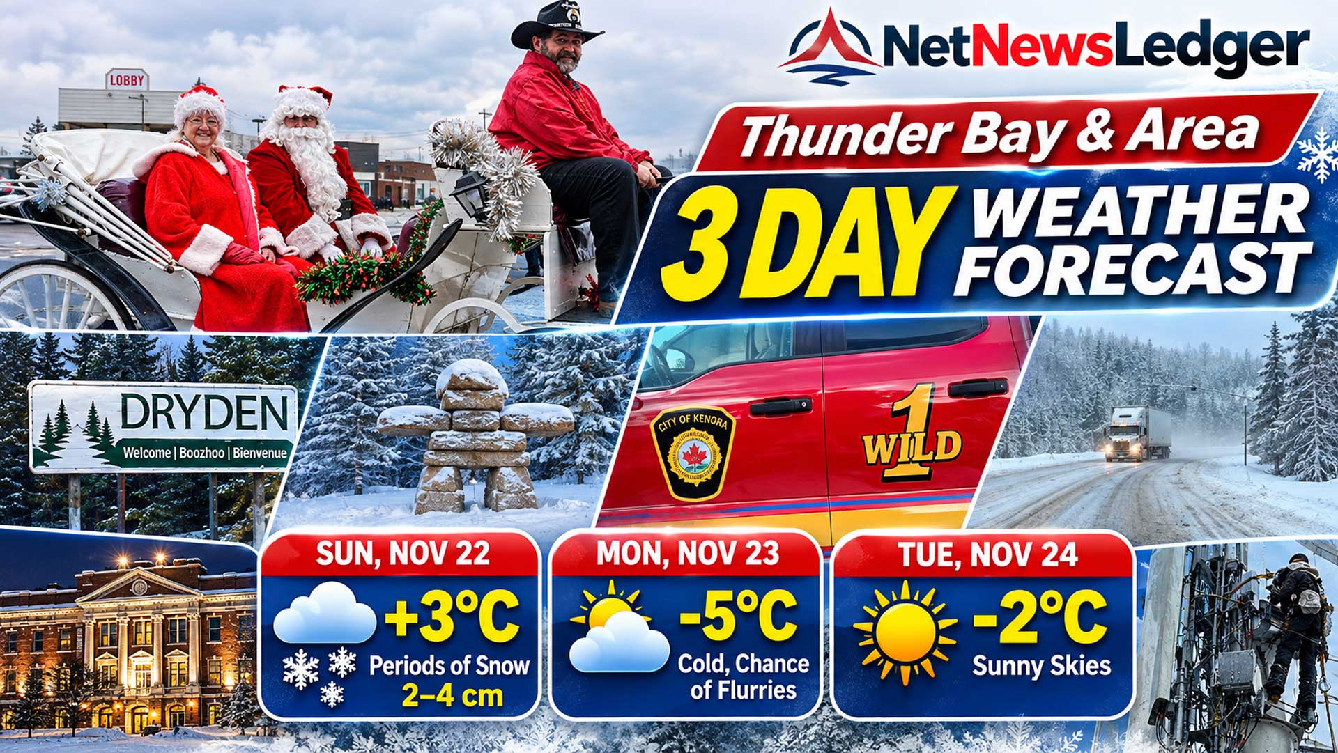
Thunder Bay’s Three-Day Forecast
SUN NOV 22
+3°C
Low −6°C
Periods of snow
MON NOV 23
−5°C
Low −11°C
Chance of flurries
TUE NOV 24
−2°C
Low −14°C
Sunny skies
Environment Canada forecast for Thunder Bay, based on its November 21 bulletin. Temperatures and precipitation amounts may change with newer updates.
Sunday, November 22 — Rain Changes to Snow
Sunday starts with temperatures above freezing, but colder air arriving from the northwest will change the weather considerably.
Environment Canada is forecasting periods of snow, with accumulations of approximately 2 to 4 centimetres. Northwest winds will increase to around 20 km/h during the morning.
The daytime high will reach approximately +3°C, although temperatures are expected to fall as the day progresses.
Sunday night: Snow will continue at times, with temperatures dropping to approximately -6°C.
The main concern will be wet pavement freezing as temperatures fall. Sidewalks, driveways, bridges and untreated rural roads could become slippery.
Monday, November 23 — Colder but Brighter
Monday will feel much more like a traditional Northern Ontario November day.
Thunder Bay can expect a mixture of sunshine and cloud, with a 30 per cent chance of flurries.
The afternoon high will be approximately -5°C.
Monday night: Skies will clear, allowing temperatures to fall to around -11°C.
If you are heading out early, the winter jacket, gloves and warm boots will be well worth wearing.
Tuesday, November 24 — Sunshine Returns
Tuesday brings a much brighter forecast.
Environment Canada is calling for sunny skies, with a daytime high near -2°C.
There is little indication of significant precipitation in the forecast, making Tuesday the better choice for outdoor work and regional travel, provided road conditions have improved.
Tuesday night: Clear skies will allow temperatures to fall to approximately -14°C.
The sunshine may look inviting, but the cold will certainly make itself felt after sunset.
Weather Across Thunder Bay’s Surrounding Communities
Kakabeka Falls, Murillo and Oliver Paipoonge
Residents west of Thunder Bay can expect a return to winter conditions Sunday.
Environment Canada is forecasting approximately 2 to 4 centimetres of snow for Kakabeka Falls. Northwest winds near 20 km/h could gust to 40 km/h, while temperatures fall toward -2°C during the afternoon.
Sunday night brings a 60 per cent chance of flurries and a low near -10°C.
Monday will feature a mix of sun and cloud, with a high near -3°C. Tuesday brings sunshine and a high around -2°C.
Rural residents should watch for freezing on secondary roads and gravel driveways.
Neebing, South Gillies and Rosslyn
Communities south and southwest of Thunder Bay will experience the same general change from wet weather to snow and freezing temperatures.
Sunday’s snow may create slippery conditions on rural routes, especially where pavement temperatures drop below freezing.
Monday should bring improving skies with temperatures below zero. Tuesday looks brighter and generally dry.
These are regional conditions based on nearby forecasts, rather than separate verified predictions for each community.
Shuniah, Pass Lake and Dorion
East of Thunder Bay, snow will be the main concern Sunday, followed by colder temperatures overnight.
Residents around Loon Lake, Pass Lake and Dorion should prepare for changing road conditions, particularly on shaded roads and routes farther inland.
Monday brings a chance of flurries before Tuesday’s clearer weather.
Nipigon, Red Rock and Lake Helen
Conditions could be more challenging northeast of Thunder Bay.
Environment Canada’s Saturday afternoon forecast calls for approximately 5 centimetres of snow Sunday, with a risk of freezing rain early in the morning.
Temperatures will fall to around -3°C during the afternoon, with winds from the north gusting to 40 km/h and a wind chill near -10.
Monday will be cold, with a high near -7°C and a 40 per cent chance of flurries. Tuesday will be sunny, with a high near -3°C.
Drivers on Highway 11/17 between Thunder Bay and Nipigon should be especially cautious.
Regional Temperature Outlook
Daytime temperatures, November 22–24. Values are based on Environment Canada forecasts issued November 21.
| Community | Sunday | Monday | Tuesday |
|---|---|---|---|
| Thunder Bay | +3°C | -5°C | -2°C |
| Kakabeka Falls | Falls to -2°C | -3°C | -2°C |
| Nipigon / Red Rock area | Falls to -3°C | -7°C | -3°C |
Figures are from the corresponding regional forecasts, rather than independently measured temperatures in every township.
Highway and Rural Road Conditions
The weather transition Sunday could make travel more difficult throughout the Thunder Bay District.
Particular attention should be paid to Highway 11/17 toward Nipigon, Highway 11/17 west toward Kakabeka Falls, Highway 61 south of Thunder Bay and Highway 102.
Snow, wet pavement and falling temperatures can produce slippery sections even when nearby roadways appear clear.
For current road closures, winter maintenance updates and highway cameras, visit Ontario 511 before travelling.The forecast describes potential road hazards, not verified live road surface conditions.
What to Wear: Winter Is Back
Saturday’s mild temperatures may have encouraged some residents to leave their winter coats hanging in the closet. That will not be a good plan for Monday morning.
A warm winter coat, gloves, hat and insulated footwear will be useful, particularly for people working outdoors or waiting for school buses.
For pet owners, the arrival of freezing conditions also means checking outdoor water bowls, keeping walks appropriate for the temperature and watching for ice on sidewalks.
The Weather Desk Bottom Line
Thunder Bay’s warm November break is ending.
Sunday brings snow and falling temperatures. Monday will be colder but brighter, and Tuesday offers a return to sunshine.
The most important message is simple: expect changing road conditions Sunday and prepare for a much colder start to the workweek.
For the latest official forecast and weather alerts, visit Environment Canada — Thunder Bay.
#Thunder Bay Weather, @Thunder Bay Forecast, Kakabeka Falls Weather, Oliver Paipoonge, Neebing, Shuniah, Murillo, Rosslyn, Nipigon, Red Rock, Northern Ontario Weather, Ontario 511, Winter Driving, #NetNewsLedger Weather Desk