
The revenue of the top 40 global mining companies, representing a vast majority of the whole industry, amounted to an estimated 792 billion U.S. dollars in 2024. These statistics reflect how meaningful the mining sector is. Minerals on and under the surface of our planet in all corners allow local and international economics to impact technological progress. Even though numerous manufacturing facilities are switching to renewable energy sources, underground minerals still play a pivotal role in the global economy.
However, there are challenges for the mining industry that can not be ignored. Mining companies are the major contributors to global greenhouse gas emissions, and they are under growing pressure to reduce their carbon footprint and implement sustainable practices. Moreover, mining poses significant risks to employee health and safety, and there has been no revolution for decades. Geopolitical challenges and transition to renewable energy are also added here. As a result, we have an industry that desperately needs innovations and technological advancements.
Here comes the latest satellite imagery maps. It is a powerful tool for optimizing resource management, offering real-time data that supports efficient planning and extraction. It also plays a key role in ensuring regulatory compliance and minimizing environmental damage by detecting land changes, monitoring emissions, and tracking rehabilitation efforts. If you’re wondering how to view latest satellite images, this technology can be accessed by a variety of platforms which can give critical insights that help manage and mitigate the impact of mining operations.
Celestial Surveillance: Mining’s New High-Tech Ally
Satellite imagery has become a game changer for the mining industry, upgrading the exploration process and making it operationally efficient and sustainable. Moreover, the imagery from above allows us to solve the challenges that mining companies face related to environmental and safety risks.
Breaking Geographic Barriers
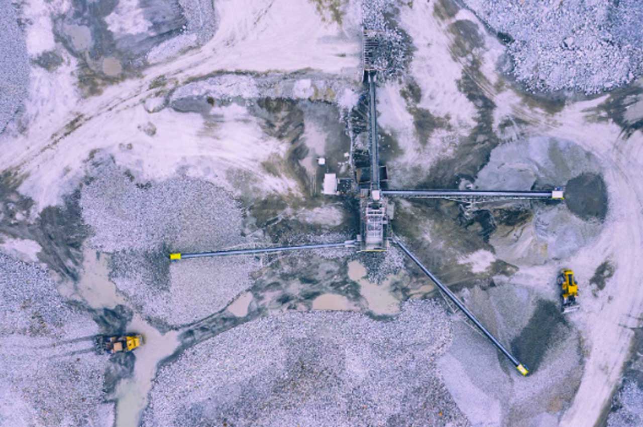
Mining is one of the spheres where getting machinery or setting up any logistics is pretty complex and expensive. The sites with minerals are often located in remote or difficult-to-access regions, posing logistical and operational challenges. Satellites help overcome these obstacles by offering detailed, real-time imagery and data, allowing companies to monitor and manage operations efficiently. This technology enhances decision-making for infrastructure development, transportation routes, and resource allocation, ensuring smooth and cost-effective mining activities, even if they are located on the end of the Earth.
Mining Responsibly with Satellite Insights
It’s hard to name some industrial sphere that is entirely sustainable and brings zero risks to our planet. And mining is not the exception. Its activities are often monitored for environmental and social influence. Satellites help mining companies handle these challenges by monitoring various key ecological indicators like:
- land use and soil moisture level,
- vegetation changes,
- water quality, etc.
With this satellite real-time data, mining companies can comply with environmental regulations, adopt sustainable practices, and reduce their impact on local ecosystems. Moreover, satellite imagery can show how mining operations affect nearby communities, promoting transparency and accountability while ensuring a more balanced approach to resource extraction.
Unearthing Resources with Satellite Insights
The utilization of satellite technology has substantially revolutionized the initial phases of mining operations. Traditional exploration methods often involved significant time and resources, with limited accuracy in identifying potential mining sites. However, satellite-based remote sensing technologies have revolutionized this process. These advanced tools allow for the detection of valuable mineral deposits by analyzing various data points, such as geological features, mineral composition, and topographical characteristics, thus significantly enhancing the efficiency and accuracy of identifying prospective sites.
Predict, Prevent, Protect: Satellites in Risk Management
Mining operations face significant geological risks, from land subsidence to tailings dam failures. The latest satellite imagery plays a crucial role in detecting these hazards before they escalate into disasters. By continuously monitoring ground movement, satellite-based remote sensing identifies subtle shifts in terrain that could indicate instability. This data allows companies to assess tailings dam integrity and pinpoint early warning signs of potential collapses.
Advanced multispectral satellite sensors capture high-resolution images of mining sites, even in remote and hazardous areas, ensuring no warning signs go unnoticed. Early warning systems powered by satellite data provide real-time alerts, enabling proactive safety measures and disaster prevention. By integrating this technology into daily operations, mining companies can protect both workers and the environment while ensuring regulatory compliance. With the ability to view the latest satellite images of Earth, operators gain a clearer picture of their sites, reinforcing safety and sustainability in the industry.
The Hidden Impact of Coal Seam Gas: Tracking Subsidence and Waterlogging
The extraction of groundwater during coal seam gas (CSG) production is subtly transforming Australia’s agricultural landscape. As large volumes of water are pumped from underground aquifers to release methane, the ground above begins to sink. This gradual subsidence disrupts natural drainage patterns, increasing flooding and waterlogging. As a result, in Queensland’s Western Downs previously dry fields are now unable to drain properly after rainfalls.
As the ground sinks, water pools in the subsided areas, turning the soil into a wet, slimy morass. The waterlogged terrain fosters algae growth, which coats the soil in vibrant green hues while depleting essential nutrients. With microbial life suffocated and nitrogen escaping, farming machines bog down in the mud, unable to work the land. This erosion of soil quality is not only harming crops but also threatening the viability of entire farming operations.
Tracking these changes used to be a challenge, but modern satellite technology has offered new insights. By utilizing satellite data analysis platforms like EOSDA LandViewer, which analyzes Normalized Difference Moisture Index (NDMI) data, researchers can spot increasing soil moisture levels linked to subsidence. This method provides an indirect way to monitor subsidence and its effects on water retention in real-time. By comparing current NDMI maps with past drainage patterns, experts can identify problem areas and predict future land degradation.
Satellite imagery plays a crucial role in helping landowners and authorities understand and address these challenges before they worsen, offering a crucial tool in preserving agricultural lands for future generations.
Mining Transformed: The Power of Satellites
Just decades ago, it was impossible to imagine that space solutions could solve Earth’s problems in a few clicks. But today, a myriad of software solutions combined with advanced hardware changed the game in various spheres. And mining is one of them. The latest satellite images of Earth allow the optimization of mining resources, minimizing the negative impact on our planet and offering miners around the world safer and less risky working conditions.
With satellite observation, we have a chance to battle deforestation, improve water quality and soil health, complying with regulations and sustainable practices.
Looking ahead, advancements in satellite technology promise even greater precision and accessibility, empowering mining companies to operate more sustainably, safely, and efficiently. As satellites continue to evolve, they will play a crucial role in driving innovation, reducing environmental impact, and enhancing the overall effectiveness of mining practices.


