
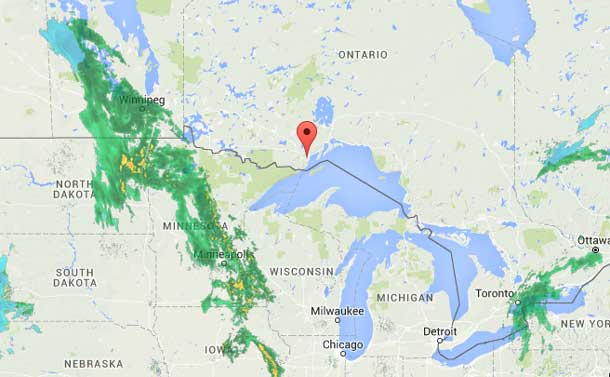
THUNDER BAY – WEATHER – Do not put the snow shovels away just yet. Mother Nature is preparing a dusting of up to 15 cm of snow for the Thunder Bay region.
Special weather statements are in effect across the region, with the call in Sioux Lookout for up to 20 cm of the white stuff.
Special weather statement in effect for:
- City of Thunder Bay
- Marathon – Schrieber
- Nipigon – Rossport
- Sioux Lookout – Savant Lake
- Pickle Lake
- Dryden – Vermillion Bay
- Kenora
Significant snowfall amounts on tap for Wednesday and Wednesday night.
Environment Canada reports, “An intensifying low pressure system over Kansas will track slowly toward the Great Lakes regions tonight. The system will bring precipitation in the form of rain beginning this afternoon and change to snow overnight. The snow will continue into Wednesday and becomes quite heavy at times as the low pressure gets closer. The snow will taper off Thursday morning for most areas.
“Total snowfall amounts with the system are expected to be 5 to 15 cm, range with locally up to 20 cm possible. The snow will taper off from west to east Wednesday overnight into Thursday morning.”


