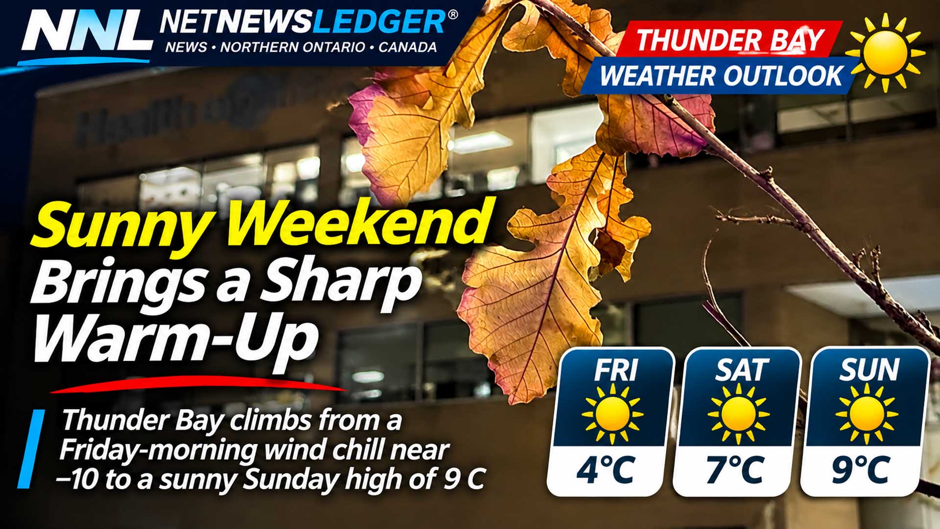
Thunder Bay rises from a Friday-morning wind chill near minus 10 to a sunny Sunday high of 9 C; Kakabeka Falls stays colder at night
Clear skies take control
THUNDER BAY, Ont. — Issued Friday, Nov. 6, 2026, at 6:11 a.m. EST – WEATHER – Thunder Bay and Kakabeka Falls are set for a dry, sunny weekend after a chilly Friday morning.
At 4 a.m. EST, Thunder Bay Airport reported minus 0.7 C, a north-northwest wind of 7 km/h and a wind chill of minus 3.
The morning forecast calls for a lower wind chill near minus 10 before temperatures recover.
Friday Mainly sunny
Thunder Bay will be mainly sunny with winds up to 15 km/h and a high of 4 C. The morning wind chill is near minus 10. A few clouds are expected Friday night, with winds up to 15 km/h, a low of minus 4 and a wind chill near minus 7.
Kakabeka Falls will also be mainly sunny with winds up to 15 km/h and a high of 4 C, but its morning wind chill is near minus 6. The rural overnight low is much colder at minus 8, with a wind chill near minus 11.
Saturday Sun and a milder afternoon
Thunder Bay will be sunny, with a high of 7 C after a morning wind chill near minus 8. Kakabeka Falls will be mainly sunny and slightly warmer at 9 C after a similar morning wind chill. Saturday night will be clear with a low of 1 C in both forecast regions.
Sunday The warmest day of the outlook
Thunder Bay will remain sunny with a high of 9 C. Kakabeka Falls is covered by the Superior West extended forecast for Sunday: sunny and 9 C. Sunday night brings cloudy periods, with a low of 1 C in Thunder Bay and near zero in Superior West.
The dry forecast supports outdoor plans, but shaded surfaces can still be slick early Friday where residual moisture froze overnight. The large day-to-night range at Kakabeka Falls also makes layered clothing more useful than a single heavy coat.
Wardrobe and travel
Wear a toque, gloves and a warm jacket for Friday morning, especially around Kakabeka Falls. A lighter mid-layer may be enough Saturday and Sunday afternoon in direct sun, but keep a wind-resistant outer layer for the evening. Drivers should watch for isolated frost on bridges and shaded rural roads during sub-zero mornings.
Weather trivia
Clear nights often cool faster than cloudy nights because the ground can lose more heat by infrared radiation. That helps explain why Kakabeka Falls can fall well below zero even as the following afternoon turns mild.