Freezing drizzle and flurries ease Thursday before sunny, milder weather reaches eight remote Northern Ontario communities
Flurries and slippery untreated surfaces are the main Thursday concerns before clearer, milder weather arrives Friday and Saturday
Thunder Bay – Nov. 5, 2026 — WEATHER — Freezing drizzle, flurries and a rain-snow mix will affect several remote Northern Ontario communities Thursday morning.
The weather is cooling down, for heading out this morning, light gloves are likely a good idea.
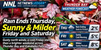
Conditions will improve from west to east, followed by generally sunny weather Friday.
Environment Canada forecast pages reviewed at 6:11 a.m. EST show no active public weather alerts for the eight covered communities.
Thursday: Watch untreated surfaces
Sandy Lake will reach 0 C under cloud, with a 30 per cent chance of morning flurries and a risk of freezing drizzle. Tonight will see clearing skies with a low of -6 C and a wind chill near -12.
Pikangikum First Nation will clear late in the morning after an early flurry and freezing-drizzle risk. The high is 2 C. Tonight the mercury will fall to -7 C before temperatures begin rising toward morning.
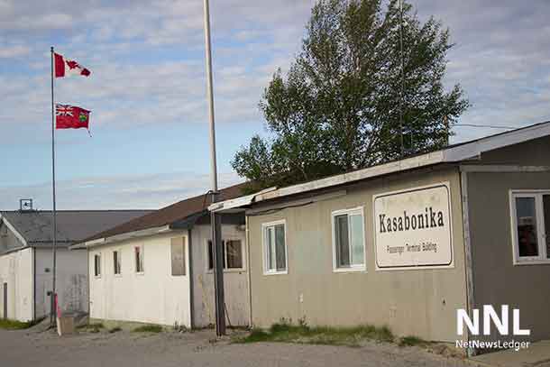
Kitchenuhmaykoosib Inninuwug, represented by the Big Trout Lake forecast, and Kasabonika Lake First Nation remains cloudy near 1 C. Morning flurries and freezing drizzle are possible. Tonight clears late, with lows near -5 C.
Bearskin Lake First Nation, represented by the Sachigo Lake-Bearskin Lake zone, has early flurries and freezing drizzle before afternoon breaks develop. The high is -1 C and tonight’s low is -5 C, with a wind chill near -12.
Ogoki Post/Marten Falls First Nation and Neskantaga First Nation are represented by Environment Canada’s Fort Hope-Lansdowne House-Ogoki zone. Morning snow ends, followed by cloud, a 40 per cent flurry chance and a freezing-drizzle risk. North winds gust to 50 km/h and the high is 1 C. Tonight falls to -7 C with fog patches possible.
Attawapiskat First Nation sees its rain-snow mix end during the morning, followed by a 40 per cent chance of showers or flurries. North winds gust to 50 km/h and the temperature holds near 2 C. Tonight falls to -5 C with an overnight wind chill near -9.
Friday: Sunshine returns
Friday is sunny across the region. Highs range from about 3 C at Attawapiskat to 4 or 5 C elsewhere. Morning wind chills remain near -8 to -12 in several inland communities.
Friday-night lows range from -6 C at Attawapiskat to about -1 C around Sandy Lake, Pikangikum and Big Trout Lake.
Saturday: Milder afternoon
Sandy Lake and Pikangikum reach 6 C with a mix of sun and cloud. Big Trout Lake, Kasabonika Lake and Bearskin Lake are sunny near 5 C.
Marten Falls and Neskantaga reach about 6 C with sun and cloud. Attawapiskat is the warm spot at 7 C under sunny skies.
Air travellers should still check flight status. Thursday’s low cloud, freezing drizzle and mixed precipitation can affect visibility and runway treatment even where accumulation is limited.
Wardrobe
Wear an insulated, water-resistant outer layer Thursday, with gloves and footwear that grips icy surfaces. Add a reflective layer near airstrips and roads. Lighter removable layers will be more comfortable during Friday and Saturday afternoons.
Weather trivia
Freezing drizzle consists of supercooled liquid droplets. They can remain liquid below 0 C, then freeze when they strike roads, aircraft or other exposed surfaces.