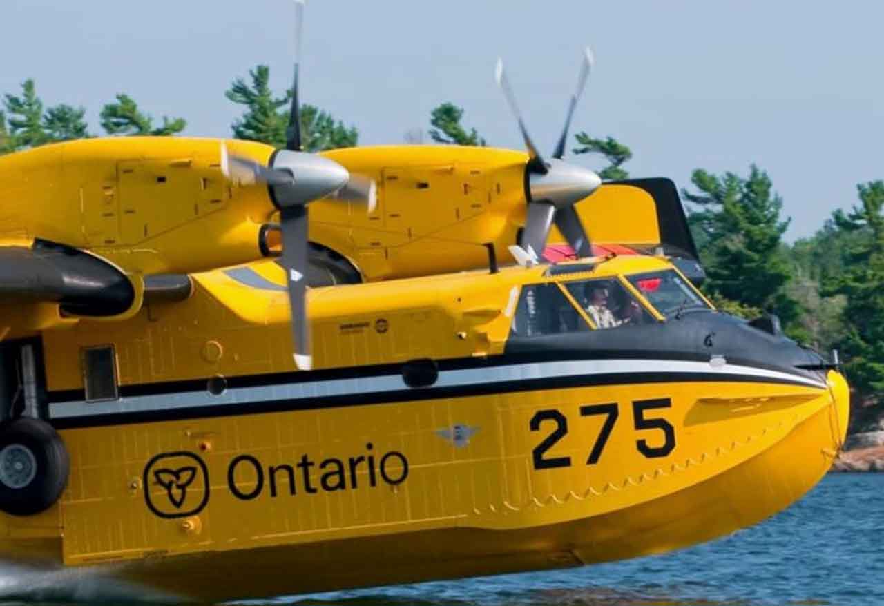
Aviation, Forest Fire and Emergency Services reports 29 new wildland fires were confirmed in the Northwest Region by the evening of July 12, 2026, as hot and dry conditions continue to drive increased fire activity across parts of Northwestern Ontario.
At the time of this update, there are 102 active wildland fires in the Northwest Region. Of those, 32 are not under control, seven are being held, four are under control, and 59 are being observed.
Northwest Region Fire Summary
Current status across the region:
102 active wildland fires
32 not under control
7 being held
4 under control
59 being observed
29 new fires confirmed July 12
New Wildland Fires Confirmed July 12
Fort Frances District
Fort Frances 34 — FOR034 is located approximately 1 kilometre east of Baldwin Lake and 4.5 kilometres west of Respite Lake. The 0.5-hectare fire is not under control.
Fort Frances 35 — FOR035 is located on an island in Gargoyle Lake, approximately 1.5 kilometres north of Pinecone Lake Road. The 0.5-hectare fire is not under control.
Dryden District
Dryden 30 — DRY030 is located northwest of Lower Moosehide Lake, near Berglund Road. The 0.1-hectare fire is not under control.
Dryden 31 — DRY031 is located approximately 10 kilometres east of Highway 502, between Washeibemaga Lakeand Long Lake River. The 0.2-hectare fire is not under control.
Red Lake District
Red Lake 23 — RED023 is located approximately 3 kilometres southwest of McDowell Lake First Nation. The fire is listed at 50 hectares and is not under control.
Nipigon District
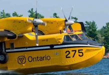
Nipigon 34 — NIP034 is located near the south side of Toronto Lake, approximately 14 kilometres north of Auden. The 1-hectare fire is not under control. CL-415 waterbombers provided aerial suppression support.
Sioux Lookout District
Sioux Lookout 74 — SLK074 is located approximately 6.5 kilometres northeast of Osnaburgh Lake, near Povey Lake. The 1-hectare fire is not under control.
Sioux Lookout 75 — SLK075 is located approximately 3 kilometres south of Rat Rapids, between Doghole Bay and Highway 599. The 0.6-hectare fire is being held.
Sioux Lookout 76 — SLK076 was located near the shore of Lake St. Joseph, south of Doghole Bay, approximately 5 kilometres west of the Albany River South Channel. The fire was called out at 0.1 hectares.
Sioux Lookout 77 — SLK077 is located near the north shore of Lake St. Joseph, between Twiname Bay and Searson Bay. The 0.3-hectare fire is being held.
Sioux Lookout 78 — SLK078 is located approximately 10.5 kilometres east of Highway 599, south of Pashkokogan Lake. The 0.3-hectare fire is not under control.
Sioux Lookout 79 — SLK079 is located approximately 11 kilometres west of Highway 599, between Doran Lake and Metcalf Lake. The 1-hectare fire is being held. CL-415 waterbombers provided aerial suppression support.
Sioux Lookout 80 — SLK080 is located approximately 2.5 kilometres east of Highway 599, about 6 kilometres south of Rat Rapids. The 0.6-hectare fire is not under control. CL-415 waterbombers provided aerial suppression support.
Sioux Lookout 81 — SLK081 is located approximately 11 kilometres west of Highway 599, near Miniss Lake. The 0.1-hectare fire is under control.
Sioux Lookout 82 — SLK082 is located approximately 8.5 kilometres east of Achapi Lake. The 85-hectare fire is being observed.
Sioux Lookout 83 — SLK083 is located approximately 30 kilometres northeast of Achapi Lake, near Coulas Lake. The 15-hectare fire is being observed.
Thunder Bay District
Several new Thunder Bay District fires are burning in remote areas of Wabakimi Provincial Park.
Thunder Bay 36 — THU036 and Thunder Bay 37 — THU037 are located approximately 14 kilometres northeast of Wabakimi Lake, west of Berg River. Both fires are listed at 100 hectares and are not under control.
Thunder Bay 38 — THU038 and Thunder Bay 39 — THU039 are located between Davies Lake and Redman Lake. Both fires are listed at 8 hectares and are not under control.
Thunder Bay 40 — THU040 is located approximately 6 kilometres west of Scrag Lake. The 0.5-hectare fire is not under control.
Thunder Bay 41 — THU041 and Thunder Bay 42 — THU042 are located southwest of Burntrock Lake. THU041 is 3 hectares, while THU042 is 0.5 hectares. Both are not under control.
Thunder Bay 43 — THU043 was located approximately 1 kilometre west of the intersection of Penny Road and Third Road. The fire was called out at 0.1 hectares.
Thunder Bay 44 — THU044 is located approximately 4 kilometres east of Grayson Lake, northwest of Whitewater Lake. The 0.2-hectare fire is not under control.
Thunder Bay 45 — THU045 is located approximately 5 kilometres north of Grayson Lake. The fire is listed at 181 hectares and is not under control.
Thunder Bay 46 — THU046 is located approximately 1 kilometre northwest of Sollows Lake. The 0.2-hectare fire is not under control.
Thunder Bay 47 — THU047 is located approximately 8 kilometres west of Grayson Lake. The 3-hectare fire is not under control.
Thunder Bay 48 — THU048 is located approximately 7 kilometres east of Greenbush Lake, west of Rockcliff Lake. The 0.5-hectare fire is not under control.
Smoke Drift Across the Region
Smoke from active fires in Canada and the United States is visible across parts of the Northwest Region.
Residents can monitor smoke movement using the smoke drift map at firesmoke.ca. People with heart or breathing conditions, older adults, children, and those working outdoors should take extra care when smoke is present.
Fires of Note
Fort Frances 14
Fort Frances 14 — FOR014 is located approximately 35 kilometres southwest of Upsala, near Byers Lake.
The fire is now listed at 1,749.7 hectares and remains not under control.
Resources assigned to suppression operations include:
13 FireRanger crews
10 Type-2 firefighting crews
11 helicopters
Increased fire behaviour was observed today as hot, dry conditions persisted. Ground crews and bucketing helicopters were supported by CL-415 waterbombers throughout the day.
A NOTAM is now in effect over the fire area.
Fort Frances 15
Fort Frances 15 — FOR015 is located in Quetico Provincial Park, south of Pickerel Lake.
The fire is listed at 1,751.9 hectares and remains not under control.
Increased fire behaviour was also observed on this fire today as hot, dry conditions continued. Smoke is visible in the area.
Quetico Provincial Park has issued closures in parts of the park. Visitors should check the park’s official webpage for current closure details before travelling.
Aviation Restrictions in Effect
NOTAM — Fort Frances 14
A NOTAM is currently in effect in the area of Fort Frances 14, northeast of Byers Lake.
This restriction is in addition to standard airspace rules under Section 601.15 of the Canadian Aviation Regulations, which restrict airspace around all active forest fires to forest fire suppression aircraft only.
The restricted airspace includes the area within five nautical miles of an active fire, up to 3,000 feet above ground level.
NOTAM — Nipigon 16
A NOTAM also remains in effect in the area of Nipigon 16, near Kasabonika Lake First Nation.
Pilots are reminded to check forest fire NOTAMs through NavCanada’s Collaborative Flight Planning Services under the Weather and NOTAM tab before flight planning.
Regional Wildland Fire Hazard
Residents are urged to check the current forest fire danger rating for their area using Ontario’s interactive fire map.
The map uses information from more than 130 weather stations across Ontario’s Fire Region and updates throughout the day as conditions change.
Ontario’s forest fire danger ratings for the Northwest Region were updated as of July 12, 2026, at 20:30 CDT.
Follow Ontario’s Outdoor Fire Rules
Aviation, Forest Fire and Emergency Services reminds the public that outdoor fire rules remain in effect during Ontario’s legislated fire season, which runs from April 1 to October 31.
Residents are encouraged to avoid burning yard waste and woody debris where possible. Safer options include composting or using a local landfill.
If you must burn, follow Ontario’s Wildland Fire Management regulation. Outdoor fires must be started no sooner than two hours before sunset and fully extinguished no later than two hours after sunrise.
Always keep enough tools and water nearby to control and extinguish the fire.
Residents within municipal boundaries must also check with their local fire department for burning restrictions or permit requirements before burning.
Report a Wildland Fire
To report a wildland fire north of the French and Mattawa rivers, call:
310-FIRE — 310-3473
To report a wildland fire south of the French or Mattawa rivers, call:
9-1-1
For wildfire prevention tips and current fire information, follow Ontario forest fire updates on Facebook, Instagram, and X at @ONforestfires and @ONfeudeforet, or visit Ontario.ca/FireUpdates.