Thunder Bay Weather: Powerful Winds Tuesday Before Sunshine and 22°C Thursday
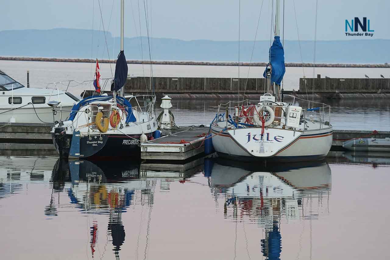
MARINE WARNING: A gale warning is in effect for Western Lake Superior. Winds may reach 35 knots Tuesday, while waves build to between two and three metres. Small recreational vessels should remain in harbour until conditions improve.
THUNDER BAY — WEATHER — Thunder Bay faces a windy and unsettled Tuesday before calmer conditions arrive Wednesday and sunshine pushes the temperature above 20°C Thursday.
The immediate concern is the wind. Gusts over the city could reach 70 km/h Tuesday, while gale-force winds are forecast over Western Lake Superior. Residents should secure loose outdoor items and use caution around trees, power lines and construction areas.
Tuesday, September 15: Showers and Strong Winds
Tuesday will be mainly cloudy with a 40 per cent chance of showers.
West winds will increase to approximately 40 km/h, with gusts reaching 70 km/h during the morning. The daytime high will be 18°C. The UV index will be 3, or moderate.
Tuesday night will be partly cloudy with a 40 per cent chance of showers during the evening. West winds near 30 km/h may gust to 50 km/h before becoming light. The overnight low will be 6°C.
Drivers should watch for sudden crosswinds, especially on Highway 11/17, the Harbour Expressway and exposed roads near Lake Superior. Trucks, recreational vehicles and other high-profile vehicles may be more difficult to control during the strongest gusts.
Wednesday, September 16: Winds Ease
Wednesday will bring a mix of sun and cloud with a high of 18°C.
The UV index will be 4, or moderate.
Clouds will increase Wednesday night, bringing a 30 per cent chance of showers. The overnight low will be 10°C.
Thursday, September 17: Sunny and Warmer
Thursday will be sunny and considerably warmer, with a high of 22°C.
Skies will remain clear Thursday night as the temperature falls to approximately 6°C.
The warmer daytime conditions will not continue overnight, so anyone spending Thursday evening outdoors should bring a jacket.
Western Lake Superior Marine Forecast
Gale Warning in Effect Tuesday
Winds over Western Lake Superior are forecast to increase to southwest 35 knots Tuesday morning before turning west at 35 knots during the afternoon.
Winds should diminish to northwest 20 knots Tuesday evening.
Waves are forecast to build to between two and three metres. Showers are expected through Tuesday morning.
These conditions are dangerous for small recreational boats. Thirty-five knots is approximately 65 km/h, but the effect on an exposed vessel can be much greater because of waves, spray and rapidly changing wind direction.
Wednesday
Northwest winds near 15 knots will diminish to light during the morning.
Marine conditions should improve substantially after Tuesday’s gale, but boaters should confirm the updated forecast before leaving shore.
Thursday
Winds will begin light before becoming northwest at approximately 15 knots.
Boaters should not rely only on conditions observed inside Thunder Bay Harbour. Wind and wave conditions can be considerably more severe beyond the protection of the harbour and nearby islands.
Safety Reminder
Residents should secure garbage bins, patio furniture and other loose outdoor items before the strongest winds arrive. Avoid parking beneath weakened trees or large branches.
Anyone travelling on Lake Superior should check the latest warning status before departure. Continue monitoring marine broadcasts because wind and wave forecasts can change quickly.
Forecast information was checked against Environment and Climate Change Canada guidance available Tuesday morning. Review the latest Thunder Bay forecast and Western Lake Superior marine forecast before travelling or heading onto the water.
Summary: Thunder Bay faces showers and wind gusts to 70 km/h Tuesday before sunshine and 22°C Thursday. A gale warning is in effect for Western Lake Superior.