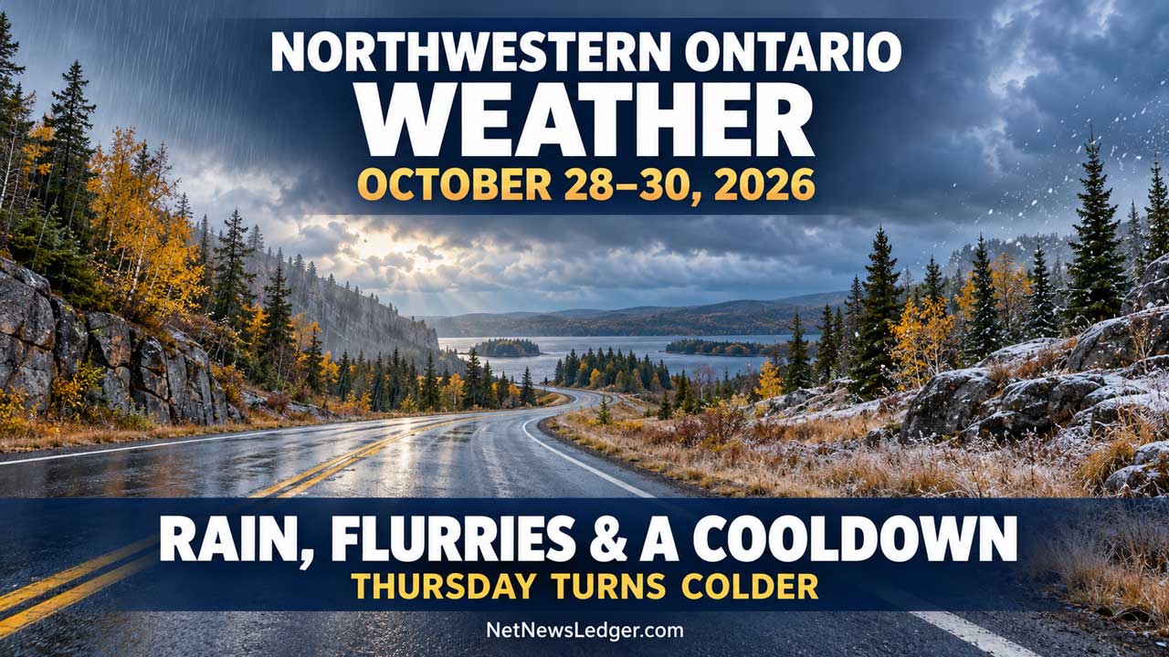
Northwestern Ontario Weather: Mild Wednesday But Get Ready Winter Weather is Knocking
Three-day forecast: Wednesday, October 28, to Friday, October 30, 2026
Thunder Bay – Weather Desk — Keep rainwear handy today and warmer layers ready for Thursday. Many communities reach 11°C to 13°C Wednesday before temperatures drop sharply. Rain showers could mix with flurries across western and northern districts tonight and Thursday, while heavier rain reaches parts of the North Shore.
Three-day community temperatures
| Community or forecast district | Wednesday high / low | Thursday daytime / low | Friday high / low |
|---|---|---|---|
| Kenora | 11 / 2 | Near 4 / 0 | 7 / −3 |
| Lake of the Woods: Sioux Narrows, Nestor Falls, Morson | 12 / 2 | Near 4 / 0 | 7 / −3 |
| Dryden and Vermilion Bay | 12 / 2 | Near 3 / 0 | 6 / −4 |
| Sioux Lookout and Savant Lake | 12 / 2 | Near 4 / 0 | 5 / −2 |
| Red Lake and Ear Falls | 11 / 2 | Near 3 / −1 | 4 / −1 |
| Fort Frances, Emo and Rainy River | 12 / 1 | 4 / −3 | 9 / 0 |
| Atikokan and Quetico | 13 / 2 | 5 / −1 | 8 / −1 |
| Pickle Lake and Cat Lake | 9 / 1 | 4 / −2 | 4 / −1 |
| Thunder Bay | 13 / 6 | 9 / −1 | 10 / −4 |
“Near” identifies ECCC’s steady daytime temperature rather than a conventional high. Extended overnight and Friday values apply to broader forecast districts.
Kenora and Lake of the Woods
Wednesday stays mainly cloudy, with a 30 per cent early drizzle chance and a 60 per cent chance of late-afternoon showers. Kenora’s south winds reach 30 km/h, gusting to 50; farther south around Sioux Narrows, Nestor Falls and Morson, gusts reach 40 km/h. Winds turn westerly tonight as the 60 per cent precipitation chance includes flurries.
Thursday brings a 40 per cent chance of rain showers or flurries and west winds of 20 km/h. Friday has sun and cloud with a 30 per cent shower chance.
Dryden and Vermilion Bay
Wednesday’s south winds gust to 40 km/h, with a 60 per cent late-day shower chance. Tonight’s precipitation chance includes flurries. Thursday stays near 3°C with west gusts to 40 km/h and a 40 per cent chance of rain showers or flurries. Friday brings sun and cloud with a 30 per cent shower chance.
Sioux Lookout and Savant Lake
Morning drizzle chances give way to mild Wednesday temperatures. Sioux Lookout’s southwest gusts reach 40 km/h; west gusts reach 50 overnight. Its evening shower chance changes to a 40 per cent chance of rain showers or flurries overnight. Savant Lake has a 60 per cent late-evening and overnight shower chance.
Thursday brings northwest gusts to 40 km/h and a 40 per cent chance of mixed showers; flurries enter Savant Lake’s forecast near noon. Friday remains cloudy with a 30 per cent chance of rain showers or flurries.
Red Lake and Ear Falls
South gusts reach 50 km/h Wednesday. A 60 per cent evening rain-shower chance becomes a 40 per cent chance of flurries or rain showers overnight. Thursday stays near 3°C with the same 40 per cent mixed-shower chance. West winds reach 20 km/h, gusting to 40 at Red Lake. Friday is cloudy with a 30 per cent chance of rain showers or flurries.
Fort Frances, Emo and Rainy River
Wednesday is cloudy, with a 30 per cent early drizzle chance and a 60 per cent late-afternoon shower chance. South winds reach 20 km/h late in the morning. Tonight’s 60 per cent precipitation chance includes rain showers or flurries. Thursday brings sun and cloud with a 40 per cent chance of either. Friday has sun and cloud and a 30 per cent shower chance.
Atikokan and Quetico
Wednesday has a 40 per cent morning drizzle chance. Rain begins early this evening, ends after midnight, then leaves a 40 per cent overnight shower chance. West winds gust to 40 km/h overnight. Thursday is cloudy with a 40 per cent shower chance. Friday is sunny.
Pickle Lake and northern communities
Pickle Lake has a 60 per cent chance of drizzle changing to rain Wednesday morning, with southwest gusts to 40 km/h. Rain begins near midnight as west winds reach 30 km/h. Thursday brings rain changing to snow or rain during the morning. Friday is cloudy with a 30 per cent chance of flurries or rain showers.
Farther north, Wednesday’s forecast includes freezing-rain risks around Big Trout Lake–Kasabonika, Sachigo Lake–Bearskin Lake, Summer Beaver–Wunnummin Lake–Kingfisher Lake, Eabametoong–Neskantaga–Marten Falls and Webequie. Timing varies; some risks are limited to early morning, while Big Trout Lake’s extends into early afternoon. These are forecast risks, not reports of confirmed freezing rain.
Sandy Lake’s forecast calls for 2 cm of snow Wednesday and a local 2 cm Thursday. Its overnight low reaches −4°C. Big Trout Lake also has 2 cm forecast Wednesday and a local 2 cm Thursday. Thursday’s morning wind chill reaches −10 around Sandy Lake.
Thunder Bay, North Shore and Greenstone
Thunder Bay clears near noon Wednesday, then receives a local 10–15 mm of rain tonight. Thursday brings sun and cloud, a 30 per cent morning shower chance and west gusts to 40 km/h. Friday is sunny. Tonight’s local rain totals reach 10–20 mm in the Nipigon–Rossport and Marathon–Schreiber districts, and 10–15 mm around Geraldton–Longlac. These are forecast amounts. Allow extra travel time on wet roads, especially after dark.
Weather alerts and marine conditions
A strong wind warning is in effect for Western Lake Superior. The 3 a.m. EDT Wednesday forecast has south winds of 20 knots easing to variable 10 knots this afternoon, then returning to southeast 20 knots this evening. Winds turn southwest near midnight and reach west 20 knots Thursday morning, then northwest 20 Thursday evening.
Waves ease from 1.5 metres to 0.5 metres early this evening, then rebuild to 1.5 metres near midnight. Friday’s northwest winds of 20 knots ease late in the day. This marine forecast does not apply to Lake of the Woods; boaters there should account for the local land forecast’s gusts and check conditions before departure.
School buses: KN38 cancellation is operational
The Northwestern Ontario Student Services Consortium has canceled KN38 from October 27 through October 29 because of a driver shortage. This is an operational cancellation, not a weather-related one.
Practical advice for the next three days
- Drivers: Watch for reduced visibility in drizzle and mixed precipitation. Allow extra stopping distance. Check Ontario 511 before highway trips; this report does not confirm closures or actual pavement conditions.
- Families: Send rainwear today and warmer layers Thursday. Check bus notices again before departure.
- Boaters: Review the latest marine forecast, wear a lifejacket and account for tonight’s rebuilding waves. A temporary lull is not a guarantee of safe conditions.
- Outdoor workers: Secure loose materials ahead of gusts. Keep dry gloves and waterproof layers available, and watch for slippery footing as temperatures fall.
Weather fact
Thunder Bay’s Wednesday high of 13°C is 7°C above ECCC’s listed normal high of 6°C. Mild air today does not prevent a return to freezing temperatures Thursday night.