
Thunder Bay – WEATHER – The coldest spot in Ontario today is -25.5 °C in Kirkland Lake. Conditions in Western Ontario vary from Thunder Bay where it is -4°C this morning to Geraldton where it is -25°C. It is -8°C this morning in Sioux Lookout.
There are no weather alerts or warnings for the region this morning.
There are winter storm and snowfall warnings tracking across Northern Alberta, Saskatchewan and into Manitoba.
Looking at the longer range forecast for the far north there is snow likely which will be associated with the system making its way across the prairies.
Thunder Bay Weather
It is -4°C in Thunder Bay at 06:00 am EST as we head to a high of -2°C for the day. There is very light snow falling at this hour. The forecast for Tuesday is calling for mainly cloudy skies with a 30 percent chance of more snow flurries this morning. Skies will be clearing this afternoon. Winds will be up to 15 km/h. The wind chill -3°C this morning and -8°C this afternoon.
Tonight, the forecast is calling for clear skies into the evening hours before becoming partly cloudy after midnight. Winds will be at up to 15 km/h. The overnight low will be -12°C with the wind chill at -8°C this evening and -15°C overnight.
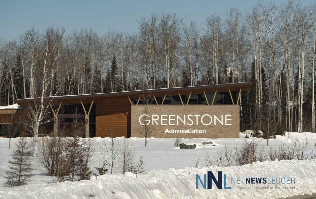
Greenstone Geraldton Weather
It is currently -25°C in Geraldton this morning, headed to a daytime high of -8°C with the wind chill bringing a risk of frostbite for exposed skin at -32°C this morning. The wind chill value will be at -11°C this afternoon. Skies will be clear today.
Tonight will see clear skies continue with winds up to 15 km/h. Slightly warmer overnight with a low of -19°C. Wind chill -15°C this evening and -26°C overnight.
Sioux Lookout Weather
It is -8°C this morning in Sioux Lookout. Skies are cloudy with a 30 percent chance of flurries this morning and then a mix of sun and cloud. Wind becoming south 20 km/h near noon. The daytime high will be -4°C. Wind chill -14°C this morning and -8°C this afternoon.
Tonight will see partly cloudy skies with winds of up to 15 km/h. The temperature will remain steady near -5°C with the wind chill near -12°C.
Lake of the Woods Region Weather
It is -9°C in Kenora this morning headed to a hight of -3°C under mainly cloudy skies. There is a 30 percent chance of snow flurries this morning. Winds will be picking up through the day becoming south 20 km/h gusting to 40 this morning. Wind chill values of -14°C this morning and -9 this afternoon are expected.
Tonight will see mainly cloudy skies. Wind will be from the south at 20 km/h gusting to 40. -6°C will be the overnight low with wind chill near -12°C.
Washaho Cree Nation / Fort Severn
Over the next couple of days there will be snow in the forecast for the north. It is -24°C in Washaho this morning. Today the weather service is calling for a mix of sun and cloud with a 30 percent chance of flurries. Winds will be up to 15 km/h. -12°C will be the daytime high for Tuesday.
The wind chill is at -31°C this morning and will be -19°C this afternoon.
Tonight, snow will roll in with amounts from 2 to 4 centimetres. Winds will be southeast at 20 km/h. The temperature will rise to -8°C by morning. The wind chill is at -22°C this evening and -14 overnight.
Looking forward to Wednesday the weather is going to be periods of snow ending near noon then cloudy with 30 percent chance of flurries. Another two centimetres of snow is likely. Winds will be at up to 15 km/h. The high Wednesday will be -4°C with wind chill values at -14°C in the morning and -6°C in the afternoon.


