
Friday starts bright, but cloud and a risk of rain or flurries return through the weekend, with gusty winds in exposed areas
A bright start before a change
THUNDER BAY, Ont. — Issued Friday, Nov. 6, 2026, at 6:11 a.m. EST – WEATHER – Remote Northern Ontario begins Friday under mainly sunny skies, but residents and air travellers should plan for a cloudier weekend and patchy rain or flurries.
The main travel concern is the combination of sub-zero morning wind chills, gusty southwest winds and a return to mixed precipitation. No active weather alert affecting the region at 6:11am. However as we all know, and sometimes forget, forecasts and alerts can change quickly in the Far North, so travellers should check again before departure.
Friday Mainly sunny but brisk
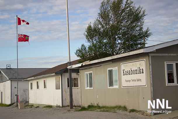
Kitchenuhmaykoosib Inninuwug at Big Trout Lake, Kasabonika Lake First Nation and Bearskin Lake First Nation will see mainly sunny skies will give way to increasing cloud in the afternoon. Southwest winds of 30 km/h will gust to 50. The high is 4 C after a morning wind chill near minus 8. The night will be mainly cloudy before clearing, with a low of 1 C.
Sandy Lake and Pikangikum First Nation will be mainly sunny, with south winds of 20 km/h gusting to 40, a high of 6 C and a morning wind chill near minus 10. Friday night will be partly cloudy with a 30 per cent chance of flurries and a low of 1 C.
Ogoki Post and Marten Falls First Nation will see the skies clear Friday morning; southwest winds of 20 km/h will gust to 40, with a high of 3 C. A few clouds follow Friday night, with a low of minus 3 and a wind chill near minus 10.
Neskantaga First Nation will be mainly sunny, with south winds of 20 km/h gusting to 40, a high of 4 C and a morning wind chill near minus 9. The night will be partly cloudy with a 30 per cent chance of flurries, a low of minus 2 and an overnight wind chill near minus 8.
Attawapiskat First Nation will be mainly sunny with a high of 4 C. A few clouds are forecast Friday night, with a low of minus 2 and a wind chill near minus 7.
Saturday Mild air holds on
Sandy Lake and Pikangikum will see sun and cloud before cloud thickens in the afternoon, with a high of 9 C. Big Trout Lake and the Kasabonika and Bearskin will be mainly sunny before cloud increases near noon, with a high of 6 C. Neskantaga’s substitute region reaches 5 C under a mix of sun and cloud.
The Fort Hope–Webequie, Ogoki Post and Marten Falls will be mainly sunny, with south winds of 20 km/h and a high of 4 C. Attawapiskat will also be mainly sunny; south winds increase to 20 km/h and the high reaches 5 C.
Saturday night brings the first broader precipitation signal. Sandy Lake and Pikangikum have a 30 per cent chance of rain showers or flurries and a low of 1 C. The Big Trout Lake region has a 60 per cent chance of flurries or rain showers and a low near zero. Neskantaga and Ogoki-area substitutes have a 30 per cent chance and lows of 1 C. Attawapiskat has cloudy periods and a low near zero.
Sunday Cloud and mixed precipitation spread in
Cloud dominates Sunday. Sandy Lake and Pikangikum have a 40 per cent chance of rain showers or flurries and a high of 4 C. Big Trout Lake, Kasabonika and Bearskin have a 40 per cent chance of mixed showers and a high of 3 C. The Neskantaga substitute will be windy with a 40 per cent chance and a high of 4 C.
Ogoki Post and Marten Falls, using Fort Hope–Webequie, have a 60 per cent chance of rain showers or flurries and a high of 4 C. Attawapiskat has a 40 per cent chance and a high of 5 C. Sunday-night lows range from minus 1 at Sandy Lake, Pikangikum and Attawapiskat to minus 3 in the Big Trout Lake region.
Wardrobe and travel
Dress in layers: an insulated mid-layer, wind-resistant shell, toque and gloves will help through the cold mornings. Waterproof footwear and an outer shell become more useful Saturday night and Sunday. Air travellers should keep essential medication and cold-weather clothing in carry-on baggage in case mixed precipitation or wind affects schedules.
Weather trivia
A temperature above 0 C at the surface does not rule out snow. Flakes can survive briefly in a shallow layer of above-freezing air, which is why the Sunday forecast can include both rain showers and flurries with daytime highs above zero.