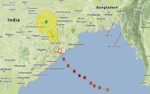

The severe cyclone made landfall near Ongole with winds of 100 to 110 km/h; extreme rain and damaging gusts remain threats as it weakens
ONGOLE, India — Nov. 3, 2026 – International Weather – Severe Cyclonic Storm Murasu crossed India’s south Andhra Pradesh coast near Ongole early Tuesday, bringing destructive winds and torrential rain to a region still recovering from another cyclone last week.
The India Meteorological Department said Murasu crossed between Nellore and Narsapur from 3:30 a.m. to 5:30 a.m. India Standard Time with sustained winds of 100 to 110 km/h and gusts to 120 km/h. At 8:30 a.m., its centre was about 30 kilometres north-northeast of Ongole and 40 kilometres southwest of Bapatla.
Extreme rain follows landfall
India’s weather service reported 12 to 21 centimetres of rain in parts of coastal Andhra Pradesh during the 24 hours ending at 8:30 a.m. Bapatla recorded 22 centimetres. Isolated extremely heavy rain was forecast Tuesday across coastal Andhra Pradesh, Yanam and adjoining Telangana, followed by isolated very heavy rain in coastal Andhra Pradesh and Yanam on Wednesday.
The department identified a moderate flash-flood risk through 11:30 a.m. Wednesday in watersheds across Prakasam, Palnadu, Bapatla, Guntur, Krishna, NTR, Eluru, East Godavari, West Godavari, Dr. B.R. Ambedkar Konaseema and Kakinada districts. It warned that saturated soils and low-lying areas could see runoff and inundation.
Winds and seas ease only gradually
The storm was forecast to weaken to a cyclonic storm by Tuesday afternoon and a deep depression by midnight. Coastal winds in Krishna, Bapatla, Prakasam, SPSR Nellore, Guntur, Eluru, NTR, Palnadu and West Godavari were expected to decrease from gale force to 55 to 65 km/h, gusting to 75 km/h, by midnight.
A storm surge of about 0.5 to one metre above astronomical tide was expected to persist until noon before declining. Fishermen were advised to stay out of the west-central Bay of Bengal and waters along the Andhra Pradesh coast until Wednesday morning.
Transport and public safety
The Associated Press reported that schools were closed, some train and flight services were halted, and thousands of people were evacuated before landfall. No verified post-landfall casualty or damage total was available in the official material reviewed for this report.
The India Meteorological Department warned of damage to vulnerable structures and crops, disruption to road and rail traffic, reduced visibility, waterlogging and localized flooding. People in affected areas were told to monitor conditions, move to safer places if directed and avoid sheltering under trees during lightning.
Source note
Primary sources: India Meteorological Department press release issued at 1:30 p.m. India Standard Time Nov. 3 and current cyclone bulletins. Context on evacuations and transport disruption: The Associated Press, published Nov. 3.
India Meteorological Department press release | India Meteorological Department cyclone bulletins