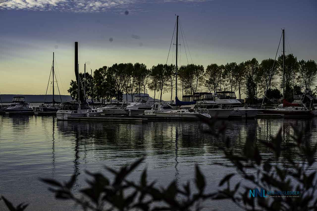
Thunder Bay should turn brighter Sunday afternoon before a sunny, cooler start to the week. Boaters face a different picture offshore, where northeast winds and one-to-1.5-metre waves require caution
THUNDER BAY – WEATHER DESK – Sunday, September 20, 2026 – A damp and cloudy start will give way to clearing skies in Thunder Bay this afternoon. The city will reach 17°C, but a north wind will make the day feel cooler near Lake Superior.
Monday and Tuesday are expected to be sunny. Nights will be much cooler, with Monday night falling to the freezing mark. Drivers should also be ready for overnight fog before Monday morning.
Current Conditions and Weather Alerts
At 6:00 a.m. EDT, Thunder Bay Airport reported partly cloudy skies and a temperature of 8.9°C. Humidity was 95 per cent, visibility was 24 kilometres and the north-northwest wind was 7 km/h. Atmospheric pressure was 102.3 kPa and rising.
No Environment and Climate Change Canada public weather warning, watch or advisory was in effect for the City of Thunder Bay when this report was prepared. Other parts of Northwestern Ontario had frost advisories, so readers travelling outside the city should check the current ECCC alert map.
A strong-wind warning was in effect for Lake Superior. This is a marine warning for offshore waters and is separate from the public forecast for the city.
Sunday, September 20: Cloudy Start, Brighter Afternoon
Sunday will begin mainly cloudy with a 30 per cent chance of showers or drizzle early this morning. Skies will clear this afternoon. The wind will become north at 20 km/h this morning. The high will be 17°C, with a UV index of 5, or moderate.
Tonight will be clear, with fog patches developing overnight. The low will be 5°C.
Monday, September 21: Sunny, Then Near Freezing
Monday will be sunny after overnight fog patches dissipate. The high will reach 16°C, and the UV index will again be 5, or moderate.
Monday night will be clear and much colder, with a low near 0°C. ECCC has not, as yet issued an explicit frost risk in the city forecast, but frost may form in colder rural, low-lying and inland locations when temperatures approach freezing.
Tuesday, September 22: Another Sunny Day
Tuesday will be sunny with a high of 17°C. Tuesday night will remain clear, with a low near 2°C.
Three-Day Thunder Bay Forecast at a Glance
| Day | Conditions | High | Night |
|---|---|---|---|
| Sunday, Sept. 20 | Mainly cloudy; 30% chance of early showers or drizzle; clearing this afternoon; north wind 20 km/h | 17°C | Clear; fog patches overnight; low 5°C |
| Monday, Sept. 21 | Sunny after morning fog dissipates | 16°C | Clear; low 0°C |
| Tuesday, Sept. 22 | Sunny | 17°C | Clear; low 2°C |
Air Quality: Low Risk
Thunder Bay’s Air Quality Health Index was 1, or low risk, at 4:00 a.m. EDT. ECCC forecasts a maximum AQHI of 2, also low risk, for Sunday, Sunday night and Monday.
Most people can continue their usual outdoor activities. People with heart or breathing conditions should continue to follow their normal health plan and watch for symptoms.
Travel and Outdoor Conditions
Early showers or drizzle could leave wet pavement before conditions improve. Overnight fog may reduce visibility late Sunday night and early Monday, especially near low-lying ground and rural areas. Drivers should use low-beam headlights, slow down and leave more stopping distance if visibility falls.
Monday night’s low near 0°C could produce frost on vehicles, decks, docks and exposed rural surfaces. Gardeners may want to cover sensitive plants before sunset Monday.
Outdoor workers should plan for a north wind Sunday morning and secure light material near exposed areas. Conditions improve during the afternoon, but lakeshore locations may remain cooler than neighbourhoods farther inland.
Western Lake Superior Marine Forecast
Marine warning: A strong-wind warning was in effect for Lake Superior in ECCC’s 3:00 a.m. EDT bulletin issued Sunday, September 20. ECCC now presents this bulletin for Lake Superior as a whole; local nearshore and harbour conditions can differ from the offshore forecast.
Sunday: North wind at 15 knots will increase to northeast 20 knots early this morning, then ease to northeast 15 knots this afternoon. Scattered showers will end this morning.
Sunday night and Monday: The wind will ease to east 10 knots near midnight, then increase to east 15 knots Monday morning. It will become variable at 10 knots Monday afternoon before returning to east 15 knots Monday evening.
Waves: Offshore Lake Superior waves are forecast at 1 to 1.5 metres through Monday. ECCC measures forecast wave height from trough to crest. Nearshore waves may vary because of shoreline effects.
Weather and visibility: Scattered showers are expected to end Sunday morning. The marine bulletin does not call for fog or another specific visibility restriction during the period. In ECCC marine forecasts, a stated fog condition means visibility below one nautical mile; no such fog wording appeared in this bulletin.
Extended wind outlook: Tuesday will begin with an east wind at 15 knots, diminishing to light in the morning. Wednesday calls for southeast 15 knots diminishing to light. Light winds are forecast Thursday.
Thunder Bay Harbour Is Not the Open Lake
The one-to-1.5-metre wave forecast applies to offshore Lake Superior. Thunder Bay Harbour can be more sheltered because of the breakwater, islands and shoreline. However, the harbour entrance and exposed shoreline can still become rough, and local wind direction can create choppy water.
For small boats, open-water waves of this size can make travel uncomfortable and potentially hazardous. Canoes, kayaks and paddleboards are especially vulnerable to cold-water immersion, spray and loss of control. Calm water at a marina should not be treated as proof that conditions are safe outside the harbour.
Safety Guidance for Boaters
- Check the latest marine warning, wind and wave forecast immediately before departure.
- Wear an approved personal flotation device at all times.
- Carry reliable communications and leave a float plan with someone ashore.
- Small-craft operators should avoid exposed open water during the strongest northeast winds.
- Dress for Lake Superior’s cold water, not only for the afternoon air temperature.
- Do not use sheltered harbour conditions as the only guide for an offshore trip.
Overview
Thunder Bay clears Sunday before sunny Monday and Tuesday. A Lake Superior strong-wind warning brings northeast winds and one-to-1.5-metre waves.
Latest Thunder Bay forecast, public alerts, AQHI, Lake Superior marine warning, wind and wave bulletins at publication time. Information was checked shortly after 6:00 a.m. EDT on September 20, 2026.