Northwestern Ontario Weather: Morning Fog and Frost Give Way to a Sunny Start to the Week
THUNDER BAY – WEATHER DESK – Sunday, September 20, 2026 – Northwestern Ontario is moving into a quieter stretch of early-autumn weather. Fog, patchy frost and a few areas of drizzle are the main concerns early Sunday, but most communities will become sunny or partly sunny as the morning progresses.
Monday and Tuesday are expected to be mainly sunny and warmer across the region. The coldest forecast period comes Sunday night and Monday night, when temperatures will fall close to or below freezing in several inland districts.
Weather Alerts: Frost Advisories in Four Districts
Environment and Climate Change Canada had yellow frost advisories in effect early Sunday for:
- Ear Falls, Perrault Falls and Western Lac Seul;
- Red Lake and Woodland Caribou Park;
- Savant Lake and Sturgeon Lake; and
- Sioux Lookout and Eastern Lac Seul.
The advisories warn that patchy frost may damage cold-sensitive plants, trees and crops. The current alerts focus on frost early Sunday morning, while local forecasts also call for another frost risk Sunday night in several communities.
Gardeners and agricultural operators should cover sensitive plants or move containers indoors. Because frost advisories can end after sunrise and be reissued later, check the ECCC weather-alert page before making plans.
Three-Day Northwestern Ontario Forecast
| Community | Sunday, Sept. 20 | Monday, Sept. 21 | Tuesday, Sept. 22 |
|---|---|---|---|
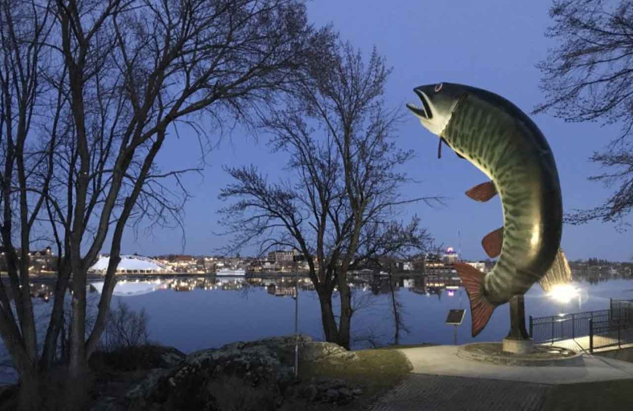
| Kenora and Lake of the Woods | Mainly cloudy, then clearing late this morning after fog dissipates. Northeast wind 20 km/h becoming light near noon. High 16°C. Clear tonight with fog developing and a low of 4°C. | Sunny after morning fog clears. High 18°C. Clear Monday night with a low of 6°C. | Sunny. High 19°C. |
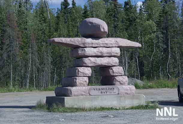
| Dryden and Vermilion Bay | Clearing this morning after fog dissipates. East wind 20 km/h becoming light early this afternoon. High 16°C. Clear tonight with fog, a low of 3°C and a risk of frost. | Sunny after morning fog clears. High 18°C. Clear Monday night with a low of 2°C. | Sunny. High 20°C. |
| Sioux Lookout and Savant Lake | Clearing to mainly sunny after morning fog. East to northeast wind 20 km/h becoming light by late morning. High 15°C. Clear tonight with fog, a low of 2°C and a risk of frost. | Sunny after morning fog clears. High 17°C. Clear Monday night with a low of 3°C. | Sunny. High 20°C. |
| Red Lake and Ear Falls | Sunny after morning fog dissipates. High 15°C. Clear tonight with fog, a low of 3°C and a risk of frost. | Sunny after morning fog clears. High 18°C. Clear Monday night with a low of 5°C. | Sunny. High 20°C. |
| Fort Frances, Emo and Rainy River | Mainly cloudy, then clearing early this afternoon after fog dissipates. Northeast wind 20 km/h becoming light late this morning. High 17°C. Clear tonight with fog and a low of 6°C. | Sun and cloud, becoming sunny late in the morning after fog clears. High 18°C. Clear Monday night with a low of 3°C. | Sunny. High 19°C. |
| Atikokan and Quetico Park | Cloudy with a 30 per cent chance of early showers or drizzle, then clearing this morning. Northeast wind 20 km/h. High 16°C. Clear tonight with fog, a low of 3°C and a risk of frost. | Sunny after morning fog clears. High 18°C. Clear Monday night with a low of -1°C. | Sunny. High 20°C. |
| Pickle Lake | Sunny after morning fog dissipates. High 14°C. Clear tonight with fog developing and a low of 3°C. | Sunny after morning fog clears. High 18°C. Cloudy periods Monday night with a low of 6°C. | A mix of sun and cloud. High 21°C. |
| Nipigon and Rossport | Cloudy with a 30 per cent chance of early showers or drizzle, then clearing this afternoon. North wind 30 km/h, gusting to 50. High 14°C. Clear tonight with fog and a low of 2°C with frost risk. | Sunny after morning fog clears. High 16°C. Clear Monday night with a low of 2°C. | Sunny. High 17°C. |
Fog and Cold Temperatures Are the Main Travel Risks
Fog patches are affecting many districts early Sunday and are expected to redevelop overnight. The same pattern is forecast for early Monday. Visibility can change quickly near lakes, rivers and low-lying highway sections.
Drivers on Highways 11, 17, 71, 105, 502 and 599 should use low-beam headlights, slow down and leave more space between vehicles when entering fog. Watch for wildlife near the road during the darker morning and evening hours.
No widespread snow or freezing-rain threat appears in the three-day forecast. However, frost may make vehicle windows, decks, docks and exposed bridges damp or locally slippery before sunrise. Atikokan and Quetico Park face the coldest Monday-night forecast, with a low near -1°C.
Stronger Wind Near Nipigon and Rossport
The strongest land-based wind in the communities covered by this report is expected around Nipigon and Rossport, where north winds may reach 30 km/h with gusts to 50 on Sunday. Cloud Bay and Dorion could receive gusts to 40 km/h.
Drivers of transport trucks, campers and other high-profile vehicles should expect crosswinds on exposed sections of Highway 17. Outdoor workers should secure lightweight materials and allow for colder conditions where the wind remains steady.
Boating and Outdoor Conditions
East or northeast winds near 20 km/h around Lake of the Woods, Wabigoon Lake, Lac Seul and Quetico-area lakes may create choppy water on exposed reaches before winds ease Sunday afternoon. The north wind near Nipigon and Rossport will be stronger.
Boaters should wear an approved personal flotation device, carry reliable communications and check the latest local or marine forecast before leaving shore. Water temperatures are colder than the air, and a capsize can become dangerous quickly. Conditions in sheltered bays may not represent conditions on open water.
Campers, hunters and other outdoor users should pack warm layers for overnight temperatures near freezing. Tell someone your route and expected return time, especially where cellular service is limited.