Thunder Bay Weather: Sunny Friday, Weekend Shower Risk and Cooler Sunday Night
THUNDER BAY — WEATHER DESK — Friday, Sept. 18, 2026 — Thunder Bay is heading into a generally comfortable September weekend, with sunshine Friday, a modest chance of showers Saturday and a return to cooler overnight temperatures by Sunday night.
Early Friday temperatures are in the low single digits, but the city should warm to about 15 C under sunny skies. Normal temperatures for this point in September are close to 17 C for the daytime high and 5 C overnight.
Friday, Sept. 18 — Sunny but Cool
Friday will be the brightest day of the three-day forecast.
Environment and Climate Change Canada is calling for sunshine and a high of 15 C. The UV index is expected to reach 5, or moderate. Friday night will bring only a few clouds, with a low near 6 C.
It will be a good day for outdoor work, walking and other activities, although a jacket will remain useful during the morning and again after sunset.
Sunrise is around 7:38 a.m., with sunset shortly after 8 p.m., meaning Northwestern Ontario is now losing daylight quickly as the autumn equinox approaches.
Saturday, Sept. 19 — Milder With a Chance of Showers
Saturday will be somewhat warmer but less settled.
Expect a mixture of sun and cloud with a 30 per cent chance of showers. The daytime high will reach approximately 17 C.
Cloudy periods continue Saturday night along with a 30 per cent chance of showers. The overnight low will be near 6 C.
The shower risk does not suggest an all-day washout, but anyone planning outdoor events, yard work or time on the lake should keep an eye on the radar.
Sunday, Sept. 20 — Mix of Sun and Cloud, Then a Cold Night
Sunday should remain mainly dry, with a mixture of sun and cloud and a high near 16 C.
The more noticeable change arrives Sunday night.
Temperatures are forecast to fall to approximately 1 C under cloudy periods.
That will put rural areas, inland valleys and traditionally colder locations around the Thunder Bay district close to frost territory. Gardeners should pay attention to updated forecasts Sunday, particularly outside the urban core where temperatures can fall several degrees below readings closer to Lake Superior.
Western Lake Superior Marine Forecast
Conditions on Western Lake Superior should generally improve through Friday as offshore winds diminish.
Environment and Climate Change Canada’s 3 a.m. Friday Lake Superior marine bulletin calls for northeast winds of 15 knots, diminishing to east 10 knots Friday morning and then becoming light during the afternoon.
Winds become southeast 10 knots overnight Friday, before becoming light again Saturday afternoon. Environment Canada cautions that offshore wind forecasts may differ significantly from conditions close to shore because of local shoreline effects.
The broader marine outlook indicates northeast winds around 15 knots Sunday, meaning conditions could become somewhat more active again as the weekend progresses.
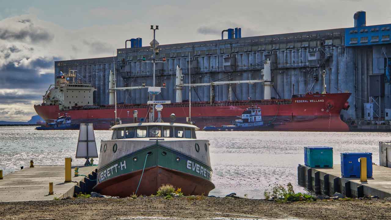
Boaters leaving Thunder Bay Harbour should remember that conditions inside the breakwall can be substantially calmer than on open Lake Superior. A quiet marina should never be taken as an indication that offshore conditions are equally calm.
Southwest Lake Superior Has a Rougher Marine Picture
There is an important distinction for anyone travelling toward Grand Portage, Duluth or the southwest arm of Lake Superior.
The U.S. National Weather Service in Duluth expects northeast winds to strengthen over the southwest portion of the lake Friday. A Small Craft Advisory is in effect for portions of the U.S. nearshore waters, with hazardous conditions expected from Grand Marais south toward Duluth and Port Wing.
The U.S. forecast also says hazardous wind and wave conditions could return Saturday through Monday, with Sunday potentially producing the strongest winds and highest waves in that portion of Lake Superior.
Those conditions are south and west of Thunder Bay and should not be interpreted as a warning for the Canadian Western Lake Superior marine zone. They are relevant, however, for boaters travelling across the international portion of the lake.
Lake Superior Safety
September sunshine can create deceptively comfortable boating conditions. Lake Superior remains cold enough that an unexpected fall overboard can quickly become life-threatening.
Boaters should wear an approved personal flotation device, carry reliable communications equipment and check the newest Environment Canada marine forecast immediately before leaving shore.
Wind direction also matters. Northeast and easterly winds can produce very different conditions depending on whether a boat is inside Thunder Bay Harbour, along the Sleeping Giant shoreline or travelling into open water.
Three-Day Thunder Bay Forecast at a Glance
Friday: Sunny. High 15 C. A few clouds Friday night, low 6 C.
Saturday: Mix of sun and cloud with a 30 per cent chance of showers. High 17 C. Cloudy periods Saturday night with a 30 per cent chance of showers, low 6 C.
Sunday: Mix of sun and cloud. High 16 C. Cloudy periods Sunday night, low near 1 C.
Weather Desk Bottom Line
Friday offers Thunder Bay the best outdoor weather of the weekend, with sunshine and lighter winds.
Saturday turns slightly warmer but introduces a small shower risk. Sunday remains seasonable during the afternoon before temperatures drop sharply Sunday night, bringing another possible frost concern to rural parts of the district.
On Western Lake Superior, winds ease through Friday and remain relatively light into Saturday, but mariners should watch for northeast winds returning Sunday and remember that open-lake conditions can be significantly different from conditions inside Thunder Bay Harbour.
Forecast information was checked Friday morning, Sept. 18, 2026. Weather and marine conditions can change quickly.