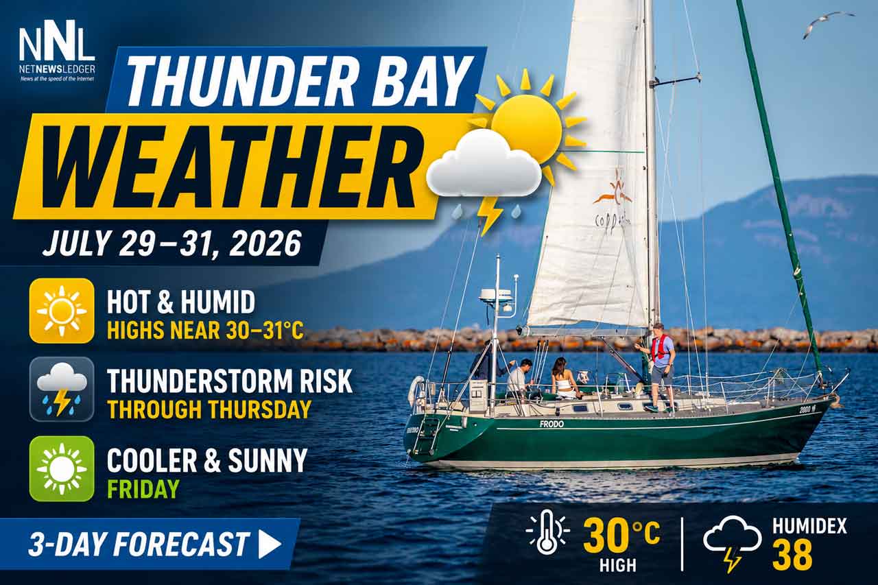
Thunder Bay’s three-day forecast calls for highs near 27°C, afternoon showers and thunderstorm risks Wednesday and Thursday
THUNDER BAY – WEATHER – Thunder Bay is starting Wednesday with cool, damp conditions before temperatures climb into the upper 20s this afternoon.
A mix of sun and cloud is expected today, with scattered showers and a risk of thunderstorms developing later. Similar warm and unsettled weather will continue Thursday before a cooler, wetter day arrives Friday.
No weather warning, watch or advisory was included in the Environment Canada information available for this update.
Today’s Weather Overview
Current Conditions
At 6:00 a.m. EDT on Wednesday, July 29, the temperature at Thunder Bay was 12.9°C.
The sky condition was not observed, but humidity was very high at 97 per cent. The dew point was 12.4°C, indicating moisture-rich air and supporting the development of morning fog patches.
Winds were light from the west at 5 km/h.
Barometric pressure was 101.4 kPa.
Fog patches will dissipate through the morning before temperatures rise quickly during the day.
Three-Day Thunder Bay Forecast
Wednesday, July 29
Thunder Bay will see a mix of sun and cloud today.
There is a 30 per cent chance of showers this afternoon, along with a risk of a thunderstorm.
The high will reach 27°C, with a Humidex of 31.
The UV index will be 8, or very high. Sun protection will be important during any extended periods outdoors.
Tonight will be partly cloudy with a 30 per cent chance of evening showers and a continued risk of a thunderstorm.
Fog patches will develop overnight as the temperature falls to 14°C.
Thursday, July 30
Thursday will bring another mix of sun and cloud.
There is a 40 per cent chance of showers from late morning through the afternoon, with a risk of thunderstorms.
Morning fog patches will dissipate.
The high will reach 27°C, with a Humidex of 32. The UV index will again be 8, or very high.
Thursday night will be cloudy with a low of 17°C.
Friday, July 31
Friday will be noticeably cooler and cloudier.
There is a 60 per cent chance of showers throughout the day, with a high of only 22°C.
Skies will clear Friday night as temperatures fall to 14°C.
Thunderstorm Safety
People planning outdoor work, boating or recreation should monitor changing conditions this afternoon and Thursday.
When thunder is heard, move indoors or into a fully enclosed vehicle. Avoid open fields, isolated trees, shorelines and exposed areas.
Thunderstorms can produce sudden wind gusts, heavy downpours and frequent lightning even when no severe-weather warning is in effect.
Wardrobe Recommendations
A light sweater or jacket may be useful during the cool and damp morning.
Lightweight, breathable clothing will be more comfortable this afternoon and Thursday as temperatures reach 27°C.
Carry a rain jacket or umbrella because showers may develop with limited notice. Sunglasses, sunscreen and a hat are recommended because the UV index will be very high today and Thursday.
Friday will be cooler, making a light jacket and waterproof footwear more practical.
Weather Trivia
Fog often develops when the air temperature and dew point are nearly equal.
At 6:00 a.m. Wednesday, Thunder Bay’s temperature was 12.9°C and the dew point was 12.4°C—a difference of only half a degree. That narrow spread explains the forecast for early-morning fog and another round of fog overnight.
Weather image: Kevin Palmer, Palmer Creative Group.