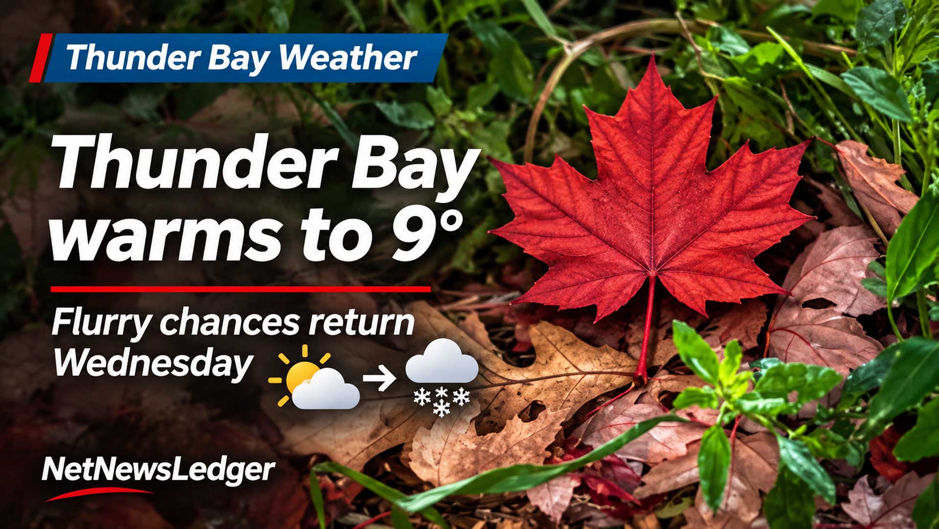
Thunder Bay warms to 9 before flurry chances return Wednesday
Thunder Bay and Kakabeka Falls get a mild Monday and sunny Tuesday, followed by a colder Remembrance Day with scattered flurries possible
ISSUED: Monday, Nov. 9, 2026 at 6:08 a.m. EST
THUNDER BAY – WEATHER DESK — A mild start to the week will lift Thunder Bay and Kakabeka Falls to about 9 today before colder air returns for Wednesday.
It is a bit on the nippy side for your morning stroll. Gloves are a good add on to the wardrobe this morning.
Monday turns milder
Thunder Bay becomes mainly cloudy as a south wind near 20 km/h develops this morning. The high is 9. Tonight is clear before some cloud arrives after midnight, with a low near 3.
Kakabeka Falls gets a mix of sun and cloud, a south wind near 20 km/h around midday and a high of 9. Morning wind chill is near minus 5. Tonight is clear before some cloud arrives near midnight; a northwest wind near 20 km/h develops late in the evening and the low is 3.
Sunny Tuesday, then a colder Wednesday
Tuesday is sunny with highs near 8 in Thunder Bay and 7 in Kakabeka Falls. Cloud increases Tuesday night with a 30 per cent chance of rain showers or flurries and lows near minus 2.
Wednesday brings a mix of sun and cloud with a 30 per cent chance of flurries in Thunder Bay and a high near 2. Kakabeka Falls is cloudy with a 30 per cent flurry chance and a high near 1. Wednesday night turns colder, with lows near minus 6 in the city and minus 8 around Kakabeka Falls.
Wardrobe guidance
Use a light insulated jacket today and Tuesday. For Wednesday’s outdoor ceremonies, add a wind-resistant layer, toque, gloves and warm footwear.
Weather trivia
Lake Superior changes temperature more slowly than land, so it can delay seasonal cooling near shore and create temperature differences with inland Kakabeka Falls.