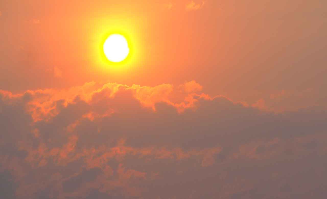
THUNDER BAY – WEATHER DESK – Smoke from woodland fires is impacting much of Northern and Northwestern Ontario.
Northern Ontario communities are dealing with a mix of summer heat, wildfire smoke, gusty winds, and scattered shower or thunderstorm risks today. The strongest heat impacts remain across parts of the Far North and Northwest, while communities closer to James Bay and Hudson Bay will see somewhat cooler conditions but still face wind, smoke, and shower concerns.
Environment Canada lists an Orange Heat Warning for the Fort Hope – Lansdowne House – Ogoki region, while Sandy Lake – Weagamow Lake – Deer Lake remains under a Yellow Heat Warning with heat expected to ease this evening. The public alert table also shows broad heat-warning coverage across Northwestern Ontario.
Community Forecast Highlights
Marten Falls / Ogoki
For Ogoki and the Marten Falls area, expect a hot and active weather day. The forecast calls for sun this morning, then a mix of sun and cloud with a 40 percent chance of showers late this afternoon and a risk of a thunderstorm. Winds will be from the west at 30 km/h, gusting to 60, with a high near 29°C, humidex near 31, and a high UV index. Tonight brings a 40 percent chance of evening showers and thunderstorm risk, with winds gusting to 50 before easing late.
Sandy Lake
Sandy Lake will see a warm, breezy day with sunshine becoming mixed with cloud this afternoon. Northwest winds are expected to reach 30 km/h, gusting to 60 this morning. The high will reach 28°C, with a high UV index. Tonight will be clear, with northwest gusts to 50 becoming light late in the evening and a low near 17°C.
Kasabonika Lake
Kasabonika Lake can expect sun this morning, then a mix of sun and cloud with a 40 percent chance of showers this afternoon and a risk of a thunderstorm. Northwest winds will gust as high as 60 km/h, with a high of 27°C, humidex 29, and a high UV index. Tonight remains partly cloudy with a 40 percent chance of showers and thunderstorm risk.
Bearskin Lake
Bearskin Lake has a similar setup: sunny this morning and early this afternoon, then a mix of sun and cloud with a 40 percent chance of showers and thunderstorm risk. Northwest winds will reach 30 km/h, gusting to 60, with a high near 27°C and humidex near 29. Gusty winds and thunderstorm risk continue this evening.
Attawapiskat
Attawapiskat starts cooler, with Environment Canada reporting 17.1°C at 6:00 AM EDT at Attawapiskat Airport. The day becomes cloudy, with a 40 percent chance of showers this afternoon and a risk of a thunderstorm. Northwest winds will gust up to 60 km/h, with a high near 25°C and humidex near 27. No alerts were listed for Attawapiskat on the local forecast page at the time of that update.
Fort Severn / Wasaho Cree Nation
Fort Severn and Wasaho Cree Nation will be cooler than inland communities but still breezy and unsettled. The forecast calls for mainly cloudy skies, a 40 percent chance of afternoon showers, and a risk of a thunderstorm. Northwest winds will reach 30 km/h, gusting to 60, with a high near 23°C and humidex near 26. Tonight brings more cloud, a 40 percent chance of early evening showers, and north winds gusting to 50.
Wildland Fires and Smoke
Ontario’s Northwest Fire Region remains active following a major increase in new fire starts. The July 12 update reported 102 active wildland fires in the Northwest Region, including 32 not under control, seven being held, four under control, and 59 being observed. That report also listed 29 new fires confirmed by the evening of July 12. Fires of note included Fort Frances 14 near Byers Lake and Fort Frances 15 in Quetico Provincial Park, both listed as not under control, with smoke visible in affected areas.
Smoke from active fires in Canada and the United States may continue to drift across parts of Northern Ontario. FireSmoke.ca’s BlueSky Canada forecast for July 14, 2026 provides modelled ground-level PM2.5 smoke guidance for the next two days, but the site cautions that smoke forecasts are estimates and may not match local conditions exactly.
Health and Travel Advice
For inland communities under heat warnings, drink water before you feel thirsty, reduce heavy outdoor work during peak heat, and check on Elders, people living alone, young children, and anyone with chronic health conditions.
For communities dealing with smoke, limit strenuous outdoor activity when visibility drops or the air smells smoky. People with asthma, COPD, heart conditions, infants, older adults, and pregnant people should be especially cautious.
Gusty northwest winds may also affect small aircraft operations, boating, and fire behaviour near active fires. Residents should continue monitoring local forecasts, community notices, and official emergency updates.
Weather Trivia
Wildfire smoke can travel hundreds or even thousands of kilometres from its source. That means a community can experience hazy skies or poor air quality even when the nearest large fire is far away, depending on wind direction and upper-level weather patterns.
Summary: Northern Ontario Weather Desk Update for July 14, 2026: Marten Falls/Ogoki, Sandy Lake, Kasabonika Lake, Bearskin Lake, Attawapiskat and Fort Severn face heat, smoke, gusty winds, showers, thunderstorm risk, and active wildland fire concerns.