
Thunder Bay – WEATHER – There are no weather alerts for Western or Northern Ontario this morning. The cold spot in Ontario this morning is -15.4 °C or 4.3 °F for our American Readers at the Muskrat Dam Airport.
The region is seeing temperatures above the long-term averages.
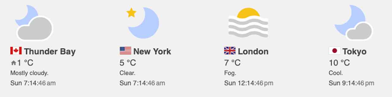
Thunder Bay
It is +1°C in the City of Thunder Bay this morning under cloudy skies. There is a 40 percent chance of flurries early this morning and continuing into the afernoon. With the temperature hovering near the freezing point there is a risk of freezing drizzle early this morning.
Winds will become northwest 30 km/h gusting to 50 this morning. The temperature will drop to minus 1°C this afternoon. The wind chill will be minus 8°C this afternoon.
Tonight the weather service is calling for mainly cloudy skies. There is a 30 percent chance of flurries this evening and after midnight. Winds up to 15 km/h. The overnight low minus 12°C. Wind chill minus 8°C this evening and minus 17°C overnight.
For our weather trivia buffs, the hottest temperature recorded in the city on this date was 8.3°C back in 1951. The coldest temperature was -29.0°C recorded in 1985. On this date, the average high is -2.3°C, and the average low -11.9°C, so today’s weather is not very far from those averages.
Pikangikum
In the soon to have Starlink High-Speed Internet, Pikangikum is -5°C this morning. The forecast is calling for periods of snow ending this morning and then mainly cloudy skies with a 40 percent chance of flurries. There will be 2 to 4 cm of snow. Wind up to 15 km/h. The temperature will fall to minus 12°C this afternoon. The wind chill minus 13°C this morning and minus 18°C this afternoon.
Tonight there will be mainly cloudy skies with a 30 percent chance of flurries early this evening. Skies are expected to clear near midnight. Winds up to 15 km/h. The overnight low minus 18°C. Wind chill minus 17°C this evening and minus 25°C overnight.
The highest temperature ever recorded in Pikangikum was 3.9°C in 1939. The lowest temperature was a chilly -37.9°C back in 1985.
Kenora and Lake of the Woods
It is -4°C this morning in Kenora with light snow. Snow flurries are forecast to end late this afternoon. Skies will then be mainly cloudy with a 40 percent chance of flurries. Winds will blow northwest 20 km/h gusting to 40 becoming light late this afternoon. The temperature will be falling to minus 8°C this afternoon. The wind chill minus 11°C this morning and minus 16°C this afternoon.
Tonight, skies will be partly cloudy with a 30 percent chance of flurries early this evening. Wind up to 15 km/h. The overnight low will be minus 16°C. Wind chill near minus 19°C.
You have to look back to the 1950s for the highest and lowest temperatures recorded in Kenora on this date. The highest temperature was 5.6°C recorded in 1951. the coldest it has ever been recorded was -31.1°C in 1958.


