
Winter Storm to Dump on Northern Ontario
THUNDER BAY – WEATHER Update – The winter storm warming and watches for Northwestern Ontario are growing. Environment Canada is reporting, “Major winter storm with heavy snow Monday into Tuesday.”
Sunday’s beautiful weather is likely to have many people believing that there is no risk from the weather.
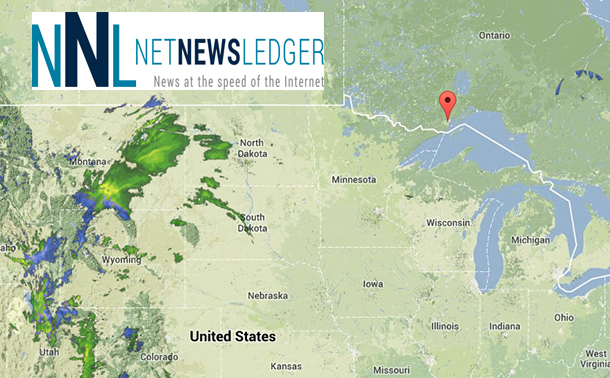
There is a low pressure system that is forming over Colorado. That low pressure system is expected to track northeast and intensify into a major winter storm as it reaches Lake Superior Monday night.
Snow at times heavy is expected to develop Monday morning and continue throughout the day. Accuweather is calling for as much at 35 centimetres of snow.
Significant amounts of snow are likely across portions of Northwestern Ontario.
Such winter storms often bring total snowfall amounts of 20 to 30 cm, and locally higher amounts are possible.
Strong and gusty winds may also whip up the freshly fallen snow, resulting in very low visibility in exposed areas subject to blowing snow.
Travelers should consider changing their plans as driving conditions will quickly deteriorate and become hazardous after the snow moves in on Monday.
For Monday:
Flight Conditions: Flight Tracking
Road Conditions: Ontario Road Conditions
Weather Updates: Weather Updates


