Northwestern Ontario Weather: Mild November Temperatures Continue as Rain Moves Across the Region Before a Weekend Cold Snap
NetNewsLedger Weather Desk | Wednesday, November 18, 2026
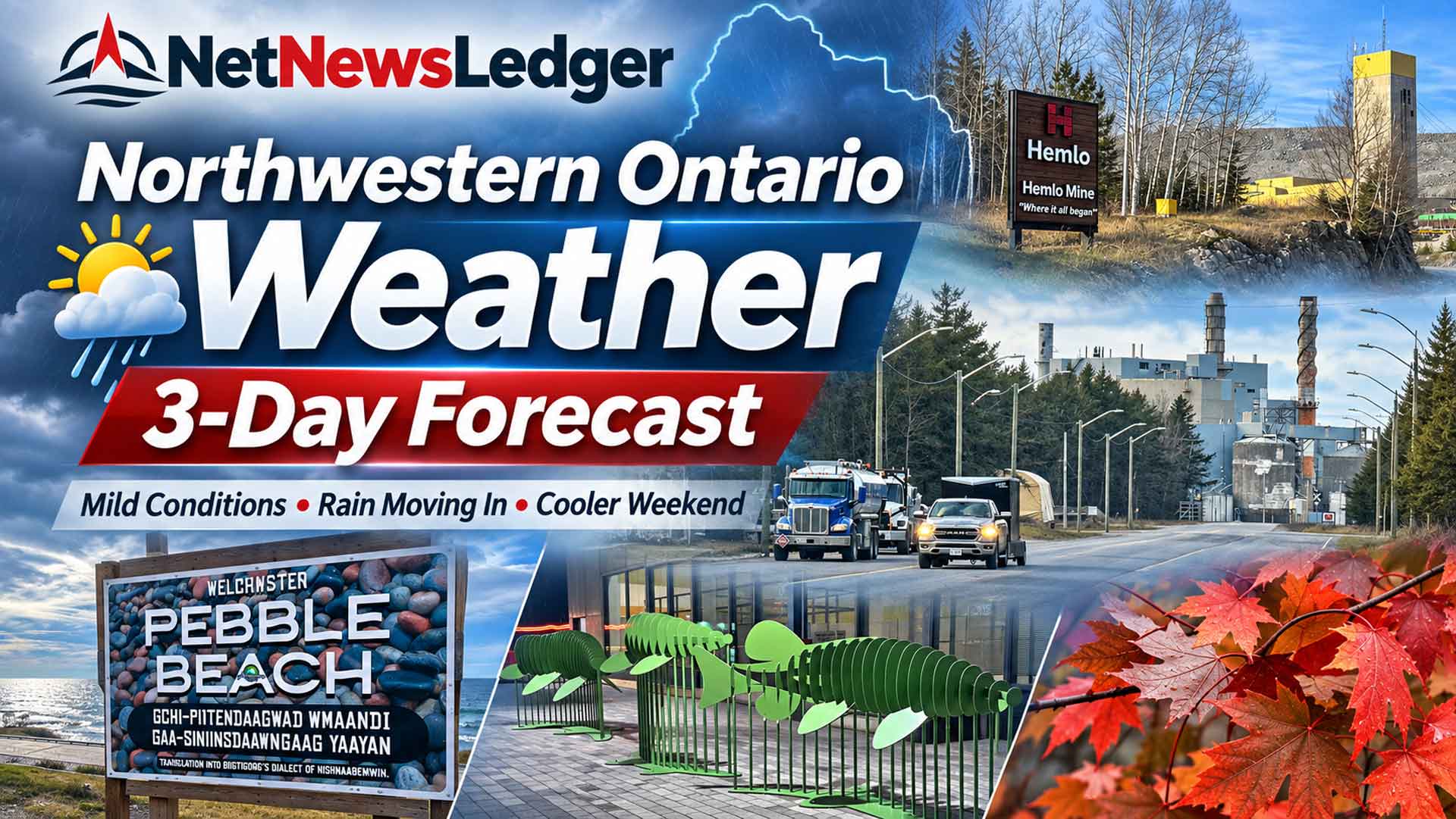
Three-day forecast for November 18–20, covering Thunder Bay, Kenora, Dryden, Fort Frances, Sioux Lookout, Red Lake, Nipigon and surrounding communities.
THUNDER BAY, ON — Northwestern Ontario is getting a brief break from winter’s usual November grip, with temperatures running well above seasonal averages across much of the region.
But don’t put the winter boots too far away.
The next three days will bring a mixture of cloudy skies, occasional sunshine, drizzle and periods of rain. Thunder Bay could reach 10°C on Wednesday and Thursday, while communities farther west and north can expect wet weather as a system moves across the region.
The bigger concern comes toward the weekend, when temperatures are expected to fall sharply. Rain could change to snow in several communities, bringing slippery roads and the first signs of a more traditional late-November weather pattern.
Northwestern Ontario Three-Day Forecast
Wed, Nov. 18
Mild, cloudy
Drizzle in western areas
Thu, Nov. 19
Rain and showers
Wet roads likely
Fri, Nov. 20
Cloudy, cooler
More rain possible
Regional Temperature Outlook
| Community | Wed. Nov. 18 | Thu. Nov. 19 | Fri. Nov. 20 |
|---|---|---|---|
| Thunder Bay | 10°C | 10°C | 8°C |
| Nipigon | 10°C | 10°C | 8°C |
| Fort Frances | 11°C | 8°C | 10°C |
| Dryden | 8°C | 7°C | 6°C |
| Kenora | 9°C | 8°C | 7°C |
| Sioux Lookout | 8°C | 7°C | 5°C |
| Red Lake | 7°C | 5°C | 5°C |
Forecast daytime highs in Celsius. Thunder Bay and Kenora values are from Environment and Climate Change Canada; other centres use the latest available regional forecast data.
Thunder Bay, Kakabeka Falls, Neebing and Oliver Paipoonge
Wednesday — Mild for Mid-November
Thunder Bay can expect a mixture of sun and cloud, with a high of 10°C.
South winds will increase to around 20 km/h during the morning. The UV index is 1, or low.
Wednesday night will become mainly cloudy, with temperatures remaining above freezing and rising toward 6°C by morning.
For residents in Kakabeka Falls, Murillo, Neebing and Oliver Paipoonge, conditions should be broadly similar, although temperatures may differ in inland areas.
Thursday — Showers Possible
Thursday will bring a mixture of sun and cloud, with a 40 per cent chance of showers.
The high will reach 10°C.
Thursday night will bring cloudy periods and a 30 per cent chance of rain showers or flurries, with a low near 4°C.
Friday — Clouds and Some Sunshine
Friday will remain mild for November, with a mixture of sun and cloud and a high of 8°C.
Clouds will increase Friday night, with a 40 per cent chance of rain and temperatures around 6°C.
Wardrobe advice: A fall jacket will work for most daytime activities, but keep a waterproof layer handy Thursday. A sweater underneath is a good idea for early mornings and evenings.
Kenora, Keewatin and Lake of the Woods
Kenora residents started Wednesday with light drizzle, a temperature near 6°C and high humidity. Visibility at Kenora Airport was reported at just 3 kilometres early in the morning.
Wednesday — Cloudy with Drizzle
The forecast calls for cloudy skies and a 40 per cent chance of morning drizzle, with a high of 9°C.
Wednesday night will remain cloudy, with a 60 per cent chance of showers and a low near 5°C.
Thursday — Rain Showers Continue
Thursday will be cloudy with a 60 per cent chance of showers and a high of 8°C.
Thursday night brings a 30 per cent chance of rain showers or flurries, with temperatures dropping toward 1°C.
Friday — Cloudy and Cooler
Friday will be cloudy with a high of 7°C.
Periods of rain are expected Friday night, with temperatures staying above freezing.
Travel advice: Drivers using Highway 17, Highway 71 and roads around Lake of the Woods should be alert for reduced visibility in drizzle and fog, particularly early in the day.
Dryden, Vermilion Bay and Ignace
Dryden started Wednesday with light rain and temperatures near 6°C.
Wednesday’s forecast calls for occasional rain and drizzle during the morning, followed by mainly cloudy skies. The high should reach 8°C.
Thursday will remain cloudy, with several opportunities for showers and a high near 7°C. Temperatures will fall toward 2°C overnight.
Friday will be cloudy, reaching approximately 6°C. Rain could return during the afternoon and evening.
Vermilion Bay and Ignace can expect a broadly similar regional pattern, but local temperature and precipitation timing will vary.
For travellers, Highway 17 will likely present wet driving conditions at times. The greatest concern will come when temperatures approach freezing overnight, particularly on bridges and shaded road sections.
Fort Frances, Emo, Rainy River and Atikokan
Wednesday — Warm and Mainly Cloudy
Fort Frances is expected to reach 11°C Wednesday, with considerable cloud cover.
That is unusually mild for the middle of November.
The chance of precipitation remains relatively low during the daytime, but showers become more likely overnight.
Thursday — Periods of Rain
Thursday will bring cloudy skies and occasional showers, with a high near 8°C.
Winds and changing precipitation may make outdoor activities less comfortable than Wednesday.
Friday — Mild Conditions Return
Friday will remain cloudy, with temperatures climbing to approximately 10°C in Fort Frances.
Rain is more likely Friday night as another area of unsettled weather approaches.
Emo, Rainy River and Atikokan should expect a similar general trend, although separate local forecasts should be checked before travelling.
Sioux Lookout, Hudson and Lac Seul Area
Sioux Lookout will experience mostly cloudy conditions Wednesday, with a chance of morning showers and a high around 8°C.
Additional rain is possible Wednesday evening.
Thursday will remain cloudy with periods of light rain and temperatures reaching 7°C. By Thursday evening, temperatures will begin dropping toward 2°C.
Friday is expected to be mainly cloudy, with a high near 5°C and rain developing later in the day.
For travellers flying between Sioux Lookout and northern First Nations, low cloud ceilings, rain and reduced visibility may affect flight operations. However, no specific flight cancellation or airport closure has been confirmed in this report.
Red Lake, Ear Falls and Pikangikum Area
Red Lake will be cooler than the communities along Lake Superior.
Wednesday will bring considerable cloud cover, with a daytime high near 7°C. Rain is expected to develop during the evening and overnight.
Thursday will remain cloudy, with occasional morning showers and a high near 5°C. Overnight temperatures could fall to around 0°C.
Friday will bring cloudy skies and another high near 5°C, with rain returning later in the afternoon or evening.
Ear Falls can expect similar conditions. Pikangikum lies farther north and requires its own forecast for precise temperatures and precipitation.
The combination of rainfall and near-freezing temperatures makes overnight travel conditions worth monitoring carefully.
Nipigon, Red Rock, Dorion and Lake Superior’s North Shore
Wednesday will bring cloudy conditions around Nipigon, with temperatures reaching 10°C.
Rain may develop late Wednesday evening and continue intermittently into Thursday.
Thursday is expected to be cloudy with showers and a high near 10°C.
Friday will remain cloudy, with temperatures around 8°C and a chance of rain later in the day.
Red Rock and Dorion should experience similar conditions, while areas farther inland around Lake Nipigon may be somewhat cooler.
Travellers along Highway 11/17 between Thunder Bay and Nipigon should prepare for wet roads and possible reduced visibility in showers.
Greenstone, Geraldton, Longlac and Nakina
The Greenstone area is also under the influence of the mild November weather pattern.
Cloudy skies and the possibility of rain are the main concerns through Thursday, with colder weather approaching later in the week.
Conditions in Geraldton, Longlac and Nakina may differ from those closer to Lake Superior, particularly during the overnight hours.
A complete community-specific November 18–20 temperature forecast for these locations was not independently verified in this update, so exact highs and lows are not assigned here.
Travellers should check Environment Canada’s Geraldton–Longlac–Caramat forecast before making plans.
Highway Travel: What Drivers Need to Know
The relatively mild weather is welcome, but Northwestern Ontario motorists should not assume that rain and above-freezing afternoon temperatures mean winter driving hazards have disappeared.
The main concerns over the next three days are:
-
Highway 11/17: Periods of rain could reduce visibility between Thunder Bay, Nipigon and points east.
-
Highway 17 West: Drizzle and showers may affect the Dryden, Kenora and Vermilion Bay areas.
-
Highway 11: Travellers between Fort Frances, Atikokan and Thunder Bay should monitor wet road conditions.
-
Highway 105: Rain and temperatures approaching freezing could affect travel between Vermilion Bay, Ear Falls and Red Lake.
-
Highway 72: Drivers heading toward Sioux Lookout should watch for reduced visibility and wet pavement.
The current forecasts do not establish whether any highway is closed or icy. Check Ontario 511 road conditions before leaving.
Weekend Outlook: Winter Makes Its Return
The more significant weather change may arrive Saturday night and Sunday.
Environment Canada’s extended forecast for Thunder Bay calls for rain Saturday, with temperatures reaching 11°C. Saturday night could bring rain or snow as temperatures fall to -3°C.
By Sunday, Thunder Bay’s high is expected to reach only -1°C. Sunday night could drop as low as -12°C.
Kenora faces an even sharper change, with rain or snow Saturday, followed by a Sunday high near -6°C.
That means residents could move from relatively mild fall weather to below-freezing winter conditions over a single weekend.
What to Wear: Rain Jackets First, Winter Coats Soon
For Wednesday through Friday, waterproof footwear and a good fall jacket will be the most useful clothing choices across much of Northwestern Ontario.
For residents leaving home early or travelling after dark, keeping gloves and a winter hat in the vehicle is a sensible precaution.
By the weekend, insulated winter coats and proper winter boots will become increasingly important, especially across the region’s western and northern communities.
Weather Trivia: Why November Can Feel Like Two Seasons
Northwestern Ontario’s November weather often changes quickly because the region sits between cold Arctic air to the north and warmer air moving across the Great Lakes and Prairies.
Lake Superior also plays an important role. Its relatively warm water can moderate nearby temperatures during autumn.
That is why Thunder Bay may experience rain while communities farther inland are dealing with snow or freezing precipitation.
With winter approaching, these differences become especially noticeable along highways that cross between lake-influenced areas and higher inland terrain.