
Snow spreads through several remote First Nations today before temperatures fall sharply by Wednesday; southern communities get a brief mild break
ISSUED: Monday, Nov. 9, 2026 at 6:08 a.m. EST
Thunder Bay – Weather Desk — Snow, pockets of freezing drizzle and a midweek temperature drop are the main weather and travel concerns across remote Northern Ontario.
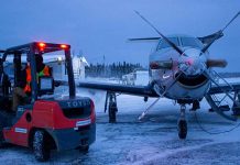
Environment and Climate Change Canada had no active public weather alert for the required communities at publication time, but several forecasts still identify freezing-drizzle risk and periods of snow that may affect local roads and aviation.
Monday brings snow north and mixed precipitation east
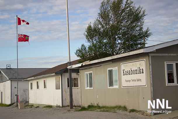
Kitchenuhmaykoosib Inninuwug, also known as KI or Big Trout Lake, Kasabonika Lake First Nation and Bearskin Lake First Nation can expect periods of snow are expected today with temperatures near minus 1, followed by more snow tonight. East winds near 30 km/h and morning wind chill near minus 8 are part of the forecast.
Sandy Lake and Pikangikum First Nation should be mainly cloudy with a 60 per cent chance of flurries or rain showers late this morning and this afternoon. The high is near 7, but the day begins with a wind chill near minus 5. Clouds and a 30 per cent chance of flurries return tonight with lows near minus 2.
Neskantaga First Nation will see clouds and a few flurries or rain showers are expected this afternoon, with a high near 2. Periods of snow develop tonight with a risk of freezing drizzle and a low near minus 1.
Attawapiskat First Nation stays cloudy with a 30 per cent chance of flurries or rain showers changing to rain showers near midday. The high is near 3. Tonight brings a 30 per cent chance of rain showers changing to flurries, a risk of freezing drizzle and a low near minus 2, with wind chill near minus 5.
Tuesday stays cloudy before Wednesday turns colder
On Tuesday, KI, Kasabonika Lake and Bearskin Lake remain cloudy with periods of light snow or a 30 per cent flurry chance, and highs near zero to minus 1. Sandy Lake and Pikangikum remain cloudy near plus 1. Neskantaga reaches about plus 1 with a 30 per cent flurry chance, while Attawapiskat reaches plus 1 under cloudy skies with a 30 per cent flurry chance. The Geraldton substitute for Ogoki Post reaches plus 3 with a 40 per cent shower chance.
Wednesday is colder. KI, Kasabonika Lake and Bearskin Lake stay cloudy with a 30 per cent chance of flurries and highs near minus 6. Neskantaga reaches minus 2 with a 30 per cent flurry chance. Sandy Lake and Pikangikum are near zero with a mix of sun and cloud. Attawapiskat stays cloudy near plus 1 with a 30 per cent flurry chance. Geraldton, used only as the Ogoki substitute, is near minus 3 with a 30 per cent flurry chance. Overnight lows in the far north fall as low as minus 10.
Wardrobe and travel guidance
Wear a water-resistant outer layer over insulation, with warm gloves and waterproof boots. Travellers in the Big Trout Lake and Lansdowne House forecast areas should carry traction aids and allow for reduced visibility or slick surfaces where snow and freezing drizzle occur.
Weather trivia
Freezing drizzle is made of very small liquid droplets that freeze on contact with surfaces at or below zero. Even without heavy precipitation, it can produce a thin, hard-to-see glaze on aircraft, roads and walkways.