
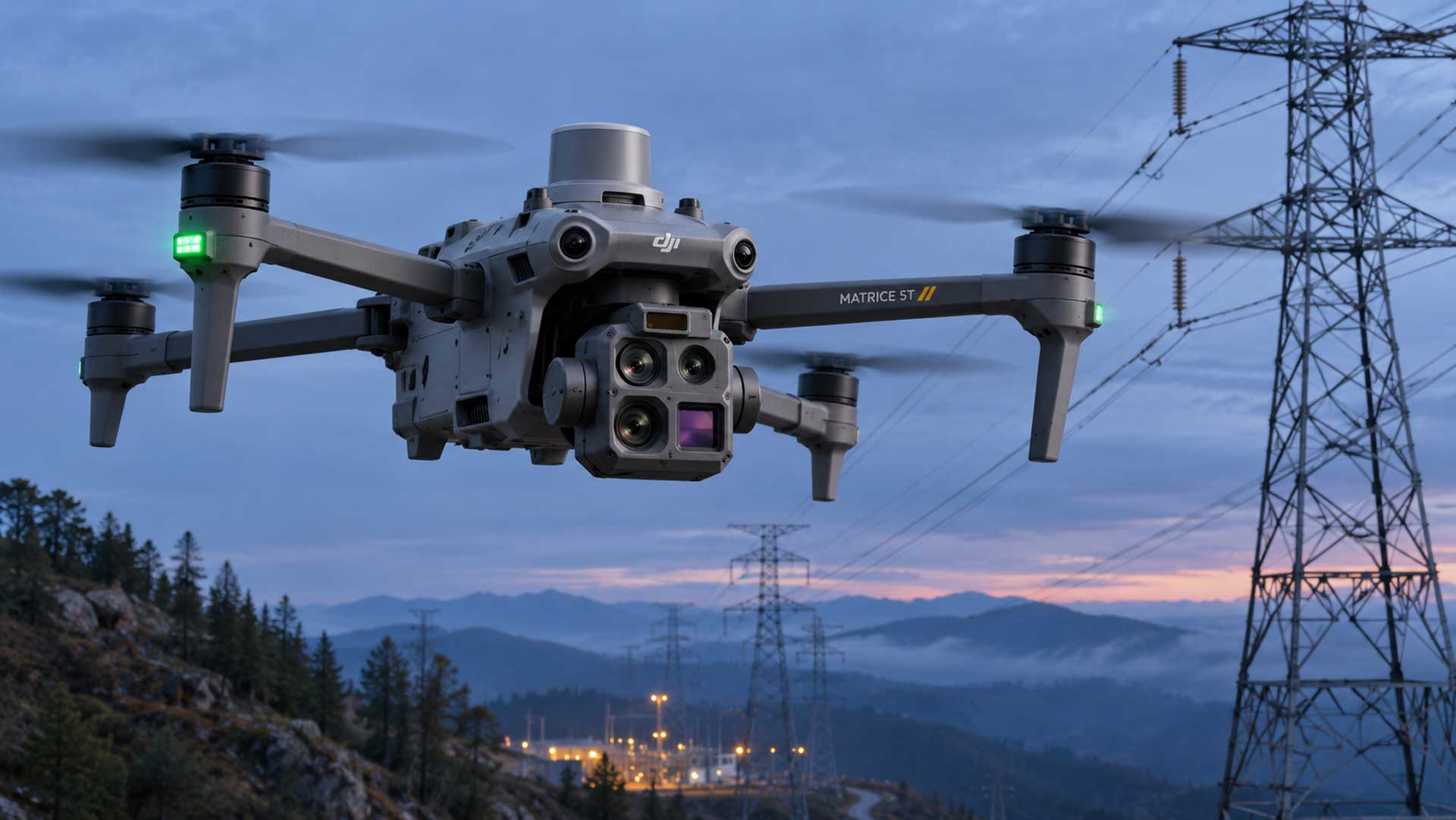
DJI’s new enterprise drone targets inspection, emergency-response and mapping teams with low-light imaging, thermal capture and a claimed flight time of up to 59 minutes
THUNDER BAY – PHOTO TECH – DJI announced the Matrice 5T on November 5, 2026, positioning it as a compact enterprise flagship for demanding operations rather than consumer aerial photography. Its imaging payload combines three visible-light cameras, a thermal sensor and a laser rangefinder, backed by LiDAR, millimetre-wave radar and omnidirectional vision sensing.
The wide, medium-telephoto and telephoto cameras each use 50-megapixel sensors. They provide full-frame-equivalent focal lengths of 23.5mm, 70mm and 252mm respectively. The wide camera pairs a 1/0.98-inch sensor with an f/1.8 aperture, while the longer cameras use f/2.88 and f/2.8 lenses.
Thermal and night operation
The thermal camera records natively at 1280×1024 pixels, four times the pixel count of a conventional 640×512 sensor. DJI’s UHR Infrared Image mode increases the output to 2560×2048.
For visible-light work, DJI claims sensitivity up to ISO 1,600,000 and colour imaging in illumination as low as 0.01 lux. The telephoto camera adds monochrome night vision, 11x optical zoom and up to 176x hybrid zoom. These specifications are aimed at inspection and search work; they should not be read as independent confirmation of identification performance at maximum range.
A Class 1 laser rangefinder measures out to a claimed 3,000 metres under specified conditions. DJI says integrated LiDAR can detect thin obstacles such as power lines from up to 32 metres at night.
Airframe and workflow
The 2,239-gram aircraft carries an IP55 rating and operates from -20°C to 50°C. Maximum payload is 400 grams, while three E-Ports support DJI and third-party accessories. Claimed flight time reaches 59 minutes.
DJI’s O4 Enterprise transmission system supports distances up to 40 kilometres under permitted test conditions, although actual range will depend on local regulations, interference and operating environment. Relay modes are intended to maintain links around terrain or structures.
The Matrice 5T also supports RTK positioning, onboard AI models and DJI Terra workflows. DJI says the system can produce centimetre-level survey results without ground-control points and can process 200 photographs into a local point cloud or 2.5D model in eight minutes.
Price and availability
DJI has not published a suggested price or a firm North American delivery date. The company directs interested organizations to enterprise dealers for quotations. One UK dealer expects its first allocation during the week beginning November 23, but that is regional reseller guidance rather than a global DJI commitment.
The Matrice 5T is principally relevant to utility inspectors, surveyors, public-safety agencies and industrial imaging teams. Its thermal resolution and three-camera visible-light payload are the central upgrades for buyers evaluating it as a replacement for earlier Matrice thermal platforms.