Floodwaters recede across the U.S. Southwest, but damaged roads, saturated ground and elevated rivers keep recovery dangerous
Floodwaters are receding, but damaged roads, saturated ground and delayed downstream crests continue to complicate recovery
PAGOSA SPRINGS, Colo., Nov. 5, 2026 — Communities across the U.S. Southwest are moving into flood recovery after repeated storms killed at least one person, damaged homes and infrastructure and triggered evacuation orders affecting at least 20,000 residents.
A second death was suspected to be weather-related but had not been officially confirmed as such in the latest reporting. The distinction remains under investigation.
The National Weather Service said rivers and waterways across southwestern Colorado and southeastern Utah remained elevated Wednesday. While many waterways had fallen below flood stage, some rivers and creeks remained in minor or moderate flooding, and delayed downstream crests were still affecting the San Juan River basin.
Roads and access remain major concerns
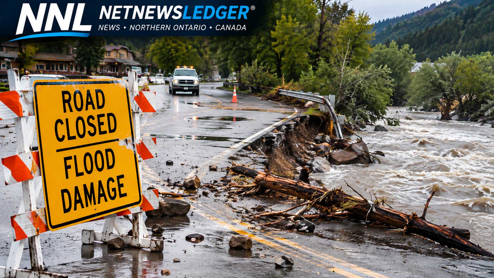
Pagosa Springs suffered repeated flooding along the San Juan River. Downtown roads, bridges and walkways were damaged or covered with mud and debris, while cleanup and repair work was expected to take weeks.
In Durango, Colorado, floodwater and mud entered homes. Farther downstream in northwestern New Mexico, major rivers remained above flood stage as authorities prepared to lift evacuation orders and begin damage assessments.
Flooding also isolated parts of the Navajo Nation. Washed-out dirt roads and a major bridge closure stranded residents around Rock Point, Arizona, and disrupted access to polling places during Tuesday’s elections.
The City of Flagstaff declared a local emergency after receiving widespread storm totals of up to about 102 millimetres from Oct. 31 through Nov. 2. Municipal officials reported water rescues, extensive road closures and damage to homes, businesses and public infrastructure.
Forecast improves, but runoff continues
Drier and warmer weather is expected to expand through the remainder of the week. However, the improving forecast does not immediately end the flood threat.
Runoff can continue moving from smaller tributaries into main rivers long after rain stops. Low ground also remains saturated, increasing the danger from unstable banks, damaged culverts and roads weakened beneath the surface.
Residents and travellers should continue to obey closures and avoid driving through water. The depth and condition of a submerged road cannot be judged reliably from inside a vehicle.
Source note: The National Weather Service Grand Junction forecast discussion, the City of Flagstaff emergency declaration