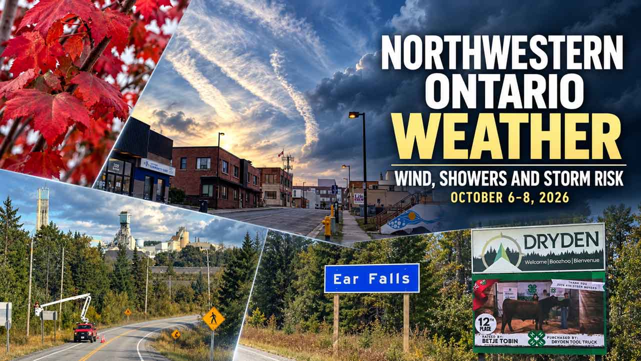
NORTHWESTERN ONTARIO – Tuesday, October 6, 2026 will bring mild temperatures across much of the region, but strong west and northwest winds will develop through the day. Wednesday is expected to be cooler, cloudier and wetter, with a chance of afternoon thunderstorms in several districts. Thursday should remain unsettled, with showers possible and temperatures easing into the low to mid teens.
This report uses the latest available Environment and Climate Change Canada forecasts checked early Tuesday morning. Conditions in remote and fly-in communities can change quickly, so travellers, air carriers, boaters and outdoor workers should check the latest local forecast before leaving.
At a Glance
- Tuesday: Mild, with highs from 14 C in Pickle Lake to 21 C in Kenora, Fort Frances and Atikokan. West or northwest winds will gust from 40 to 60 km/h.
- Wednesday: Cooler, with a 40 to 60 per cent chance of showers and a risk of a thunderstorm in many communities. Highs will generally range from 12 to 16 C.
- Thursday: A mix of sun and cloud with additional shower chances. Highs are expected to be in the low to mid teens, but the Thursday forecast remains subject to change.
- Alerts: No active Environment Canada weather alert was listed Tuesday morning for Kenora, Dryden, Sioux Lookout, Red Lake, Fort Frances, Atikokan or Pickle Lake. A wind warning was listed for Moosonee, outside the main communities covered here.
Kenora and Lake of the Woods
Kenora, Lake of the Woods, Sioux Narrows, Nestor Falls and Morson will be mild Tuesday. Kenora is forecast to reach 21 C, with west winds 30 km/h and gusts to 50. The wind should ease late Tuesday evening as temperatures fall to about 9 C.
Wednesday will be cooler at about 16 C. A 40 per cent chance of afternoon showers and a risk of a thunderstorm are forecast, with northwest winds near 30 km/h and gusts to 50. Thursday is expected to bring a mix of sun and cloud, a 40 per cent chance of showers and a high near 15 C.
On Lake of the Woods, the combination of strong west or northwest winds and colder air behind the front can create choppy conditions, especially on open water. Small craft should stay close to shore or remain at the dock during the strongest gusts.
Dryden and Vermilion Bay
Dryden and Vermilion Bay will reach about 20 C Tuesday. The wind will shift to the west at 30 km/h, gusting to 50, before easing late in the evening. A clear break is expected Tuesday night, with a low near 8 C.
Wednesday will be mainly cloudy with a 60 per cent chance of afternoon showers and a risk of a thunderstorm. The high should be near 13 C, with northwest winds around 30 km/h and gusts to 50. Thursday is forecast to be a mix of sun and cloud, with a 40 per cent chance of showers and a high near 12 C.
Drivers should be ready for sudden crosswinds on Highway 17 and other exposed roads. High-profile vehicles, trailers and empty trucks may be difficult to control during peak gusts.
Sioux Lookout and Savant Lake
Sioux Lookout is forecast to reach 18 C Tuesday. Winds will begin from the south near 20 km/h, turn west and strengthen to 40 km/h with gusts to 60 late in the afternoon. Savant Lake and Sturgeon Lake are also expected to reach 18 C, with west winds near 20 km/h and gusts to 40.
Tuesday night will be mainly cloudy, with lows near 8 to 9 C. Wednesday brings a 60 per cent chance of showers and a risk of a thunderstorm. Highs should be near 12 C, with northwest winds 30 km/h and gusts to 50. Thursday should remain unsettled, with a 40 per cent chance of showers and a high near 12 C.
Red Lake and Ear Falls
Red Lake and Ear Falls will see strong northwest winds Tuesday. Red Lake is forecast to reach 18 C, with winds near 30 km/h and gusts to 50. Ear Falls and Western Lac Seul should be similar. Lows Tuesday night will be near 8 C.
Wednesday will be mainly cloudy. Red Lake and Ear Falls have a 60 per cent chance of afternoon showers and a risk of a thunderstorm. Highs will be near 13 C, with northwest winds around 20 to 30 km/h and gusts up to 50. Thursday should bring a mix of sun and cloud, a 40 per cent chance of showers and highs in the low teens.
Campers, anglers and outdoor workers should secure loose equipment before Tuesday’s strongest winds. Wet ground and falling branches may create hazards around forest roads and shorelines.
Fort Frances, Emo and Rainy River
Fort Frances, Emo and Rainy River will be among the warmest parts of the region Tuesday, with a forecast high near 21 C. West winds will reach 30 km/h with gusts to 50 during the morning and early afternoon. Skies should clear through the afternoon, with a low near 7 C Tuesday night.
Wednesday will bring a mix of sun and cloud, a 40 per cent chance of afternoon showers and a risk of a thunderstorm. The high is expected to be near 16 C, with west winds 20 km/h and gusts to 40. The Thursday outlook points to more cloud and a chance of showers, with temperatures in the low to mid teens.
Atikokan and Quetico
Atikokan, Shebandowan and Quetico Park will reach about 21 C Tuesday. South winds will become west at 20 km/h, gusting to 40, before easing late in the evening. The low will be near 6 C.
Wednesday will be cooler at about 15 C, with a 60 per cent chance of afternoon showers and a risk of a thunderstorm. West winds will be near 20 km/h with gusts to 40. The Thursday trend is for a mix of sun and cloud, additional shower chances and a high in the low to mid teens.
Quetico visitors should plan for wet trails and wind on exposed lakes. A warm layer, rain gear, a charged phone or satellite communicator and a clear turnaround plan are important for backcountry travel.
Pickle Lake and Remote Communities
Pickle Lake and Cat Lake face the most active weather Tuesday. Environment Canada forecasts a 60 per cent chance of showers, a risk of a thunderstorm this afternoon, and a high near 14 C. South winds will turn west at 30 km/h with gusts to 50. The low Tuesday night will be near 7 C.
Wednesday will be cloudy with a 60 per cent chance of showers. The high will be near 10 C, with northwest winds 30 km/h and gusts to 50.
Similar conditions are expected in Sandy Lake, Weagamow Lake, Deer Lake, Pikangikum, Poplar Hill, MacDowell, Summer Beaver, Wunnummin Lake and Kingfisher Lake. Highs Tuesday will generally be 14 C, with showers and thunderstorm risk. Wednesday highs will be around 10 to 12 C, with showers continuing and northwest gusts up to 60 km/h in some communities.
Big Trout Lake, Kasabonika, Sachigo Lake and Bearskin Lake will be cooler. Periods of rain or showers are expected Tuesday, followed by a cloudy Wednesday with highs near 7 C. Fort Hope, Lansdowne House, Ogoki and Webequie may see showers and a thunderstorm risk, with Wednesday highs near 11 C.
For fly-in communities, weather can affect runway conditions, aircraft loading and departure times. Passengers should confirm flight status with the carrier or local airport before travelling.
Travel and Outdoor Safety
- Check Ontario 511 and local road reports before a long drive.
- Slow down for crosswinds, wet pavement and sudden visibility changes in heavy showers.
- Secure trailers, boats, signs, roofing materials and other loose items before Tuesday’s wind increases.
- Postpone small-boat trips on large lakes during the strongest gusts. A sheltered bay can still become rough near open water.
- During thunder, leave lakes, shorelines, ridges and isolated trees and move into a substantial building or a hard-topped vehicle.
- Outdoor workers should use a reliable weather alert source and have a plan to stop work quickly if lightning approaches.
- Dress for a warm afternoon but carry a rain jacket and warm layer. Temperatures fall quickly after showers and after sunset.
School Bus Status
The Northwestern Ontario Student Services Consortium homepage was checked at 5:16 a.m. Tuesday. No public region-wide cancellation or delay notice was displayed during that check. The site does not show every route’s live status on its public homepage, so families should use the Parent Portal and their local school or transportation notification for route-specific information.
The Consortium says a driver may decide not to make a stop when fog or reduced visibility prevents a safe pickup or drop-off. Parents and guardians remain responsible for students at the bus stop and should have a backup plan. No operational, driver-shortage or weather-related cancellation was identified in the public notice checked for this report.
Alerts, Sources and Editor Warning
Environment and Climate Change Canada’s active Ontario alert table showed alerts in other parts of the province and a wind warning for Moosonee, but no active alert for the main Northwestern Ontario communities listed in this report at the time of the check.