Northwestern Ontario Wildfire Update: Five New Fires, 110 Active Across Region
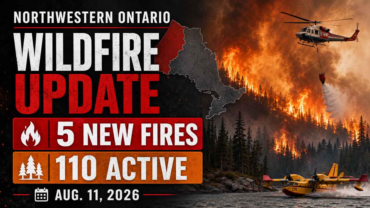
THUNDER BAY — Five new wildland fires were confirmed across Northwestern Ontario by early Tuesday evening, Aug. 11, as firefighters continued suppression work on major incidents in the Rinker Lake and Atikokan areas.
Ontario’s Aviation, Forest Fire and Emergency Services report 110 active wildland fires in the Northwest Fire Region as of 6 p.m. CDT. Eleven were not under control, while evacuation orders and alerts remained in place around several large fires.
A Restricted Fire Zone also remains in effect across the Northwest Region as high to extreme fire hazard, significant ongoing fire activity and the number of active incidents continue to strain firefighting resources.
Five New Wildfires Confirmed in Northwest Region
The five new fires reported Aug. 11 are in the Thunder Bay, Fort Frances, Kenora and Dryden fire management areas.
Thunder Bay 79 (THU079) is near Dog Lake, approximately 18 kilometres west of Highway 527. The fire is 0.1 hectares and is under control.
Thunder Bay 80 (THU080) is south of Athelstane Lake, approximately 24 kilometres west of Highway 17. The 0.1-hectare fire is not under control.
Fort Frances 65 (FOR065) is burning in Quetico Provincial Park near Baird Lake, approximately three kilometres southeast of McDougall Lake. The fire is 0.3 hectares and is being held.
Kenora 29 (KEN029) is south of Moth Lake, approximately two kilometres south of Highway 17. The fire is 1.5 hectares and is not under control.
Dryden 62 (DRY062) is on an island on Sturgeon Lake near East Bay. The 0.1-hectare fire is under control.
110 Active Fires Across Northwestern Ontario
At the time of the provincial update, the Northwest Fire Region had 110 active wildland fires:
- 11 not under control
- Six being held
- 10 under control
- 83 being observed
The large number of fires being observed reflects the scale and distribution of wildfire activity across Northwestern Ontario, where remote incidents may be monitored depending on fire behaviour, location, available suppression resources and threats to communities or infrastructure.
Rinker Lake Complex Remains Major Firefighting Operation
The Rinker Lake Complex, involving Thunder Bay 36, Dryden 34 and Dryden 35, continues to require a substantial multi-province firefighting response.
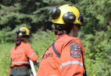
There are 31 wildland firefighting crews assigned from Ontario, Alberta, Nova Scotia and Manitoba. The response also includes heavy-equipment operators, pilots, aircraft maintenance engineers, Ontario and Quebec overhead personnel and an incident management team.
Fifteen helicopters are currently assigned to the complex.
Crews are working in areas identified through thermal imaging scans and are reporting progress in locating and extinguishing hotspots.
Firefighters are also patrolling fire areas, consolidating hose lines, installing and maintaining protection equipment around structures and other values, and constructing helipads to improve access and move personnel and equipment.
Heavy-equipment operators continue building fire guards along portions of the Thunder Bay 36 and Dryden 35 perimeters.
Helicopter bucketing operations are being used where required.
The three major fires remain not under control:
Thunder Bay 36 (THU036) — 301,240 hectares.
Dryden 34 (DRY034) — 45,800 hectares.
Dryden 35 (DRY035) — 31,478 hectares.
The scale of Thunder Bay 36 in particular makes the Rinker Lake Complex one of the most significant ongoing wildfire operations in the region.
Atikokan Cluster Crews Target Hotspots
Firefighters are also continuing suppression work on the Atikokan Cluster, consisting of Fort Frances 13, Fort Frances 14 and Fort Frances 15.
Crews are using infrared scan information to identify hotspots close to fire perimeters and within burned areas near structures.
The thermal information is gathered during the early morning using sensor-equipped aircraft, including drones, helicopters and fixed-wing aircraft.
Three crews are also removing hose lines and recycling firefighting equipment at locations across the Atikokan fires as suppression operations progress.
Eight helicopters are assigned to the cluster.
AFFES reported low fire behaviour on all three fires as of Tuesday evening.
On the northern portion of Fort Frances 14, where access to water is limited, FireRanger crews are patrolling the perimeter and using helicopter buckets to extinguish hotspots up to approximately 30 metres — 100 feet — inside the fire perimeter.
Crews are also checking the north and northeast sides of Fort Frances 15 with helicopter bucketing support in difficult terrain.
A total of 67 firefighters are assigned to operations across two divisions of Fort Frances 14.
The fires remain not under control:
Fort Frances 13 (FOR013) — 25,279 hectares.
Fort Frances 14 (FOR014) — 51,768 hectares.
Fort Frances 15 (FOR015) — 42,273 hectares.
Evacuation Orders and Alerts Remain in Effect
A number of evacuation orders and alerts remain connected to wildfire activity in Northwestern Ontario.
Provincial information lists measures involving:
- Dryden 36
- Thunder Bay 36, Thunder Bay 54 and Thunder Bay 56
- Dryden 34 and Dryden 35
- Fort Frances 14
- Fort Frances 15 and Fort Frances 38
An expanded evacuation alert also remains associated with Fort Frances 14.
Residents of affected communities should follow instructions from local authorities, First Nations leadership and emergency management officials.
Conditions can change quickly as wind, temperature, humidity and fire behaviour change.
NOTAMs in Effect Around Thunder Bay 36 and Fort Frances 14
Notices to Airmen, or NOTAMs, are in effect around Thunder Bay 36 and Fort Frances 14, northeast of Byers Lake.
These restrictions are in addition to the standard airspace restrictions surrounding active forest fires under Section 601.15 of the Canadian Aviation Regulations.
Airspace within five nautical miles of an active forest fire and up to 3,000 feet above ground level is restricted to aircraft involved in forest fire suppression operations.
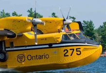
The restrictions are critical for pilot and firefighter safety. Waterbombers, helicopters and other suppression aircraft may be operating at low altitude and can change direction quickly during firefighting missions.
Pilots are advised to check current wildfire NOTAM information through NAV CANADA’s flight-planning services before operating in affected areas.
Restricted Fire Zone Remains in Effect
A Restricted Fire Zone remains in place across the Northwest Fire Region and a small portion of the Northeast Region.
The restriction took effect July 15 at 12:01 a.m. local time.
The Ministry of Natural Resources implemented the RFZ because of high to extreme fire hazard, increased wildfire activity and the existing workload facing firefighting crews.
The measure is also intended to reduce the risk of human-caused fires.
During a Restricted Fire Zone, outdoor fires are generally prohibited unless specifically exempted. Residents, campers and visitors should verify current provincial and municipal restrictions before using any outdoor flame or fire-producing equipment.
What the Fire Situation Means for Thunder Bay and Northwestern Ontario
The continued presence of more than 100 active fires has implications well beyond individual fire perimeters.
For Thunder Bay, the city remains an important transportation, aviation, logistical and emergency-support hub for wildfire operations across the Northwest.
Large fire complexes can increase demand for aircraft, fuel, accommodation, supplies and transportation services while also affecting forestry operations, remote work sites, tourism and access to traditional territories.
Wildfires can also affect First Nations and remote communities where road access may be limited and evacuation can depend on aircraft or lengthy highway travel.
Smoke from large fires may travel hundreds of kilometres, meaning air quality can deteriorate well away from an active fire depending on wind direction and atmospheric conditions.
Drivers travelling Highway 17, Highway 11 and other northern routes should monitor provincial and local information for changing road, visibility and emergency conditions.
Fire Danger Remains an Important Concern
Ontario calculates its forest fire danger rating using data collected from more than 130 weather stations across the province’s fire regions.
The rating can change throughout the day as temperatures, humidity, rainfall and winds change.
Anyone travelling into the backcountry should check the current fire hazard before leaving and remain prepared for changing conditions.
How to Report a Wildland Fire
To report a wildland fire north of the French and Mattawa rivers, call 310-FIRE (3473).
Wildland fires south of the French or Mattawa rivers should be reported by calling 911.
Current wildfire maps, fire danger ratings, evacuation information and Restricted Fire Zone details are available through Ontario’s forest fire information services.
Source: Ontario Ministry of Natural Resources, Aviation, Forest Fire and Emergency Services. Information current as of 6 p.m. CDT, Aug. 11, 2026.