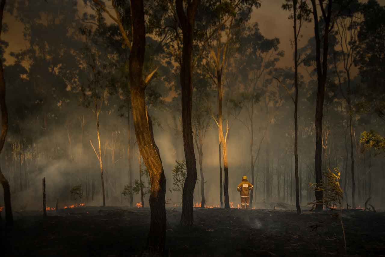
Northwest Wildland Fire Report: 117 Active Fires Across the Region
THUNDER BAY – WILDFIRE UPDATE – Ontario’s Aviation, Forest Fire and Emergency Services reported two new wildland fires in the Northwest Region by the evening of Monday, July 27, 2026.
As of 7:00 p.m. CDT, there were 117 active wildland fires across the Northwest Region:
- 23 fires were not under control
- Three fires were being held
- Eight fires were under control
- 83 fires were being observed
A Restricted Fire Zone remains in effect across the Northwest Region and a small portion of the Northeast Region because of the high to extreme fire hazard, increased fire activity and the number of active fires.
Two New Fires Confirmed
Dryden 49 – DRY049 is located northeast of Rice Lake, approximately one kilometre north of Ghost Lake Road. The fire is 0.1 hectares and is under control.
Kenora 25 – KEN025 is located near the north side of Obabikon Lake, approximately 12 kilometres west of Highway 71. The fire is 0.1 hectares and is under control.
Fires of Note
Thunder Bay 36
Thunder Bay 36 is currently listed at 313,930 hectares and remains not under control.
Ontario and Alberta crews are systematically checking potential problem areas. Firefighters are using pumps and hose lines to extinguish remaining sources of heat.
Helicopters are supporting ground crews by dropping water on priority areas and hot spots. Heavy equipment operators are also constructing fire guards to create breaks in forest fuels and help limit further spread.
Values protection operations remain underway.
Atikokan Fire Cluster
The Atikokan cluster includes Fort Frances 14, Fort Frances 15 and Fort Frances 38.
Fort Frances 14 – FOR014 is approximately 51,806 hectares and remains not under control.
Fort Frances 15 – FOR015 is approximately 42,279 hectares and remains not under control.
Overnight rainfall and high relative humidity helped keep fire behaviour low on Monday.
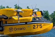
A British Columbia-based Q400 air tanker placed retardant along elevated areas of the northern perimeter of Fort Frances 14.
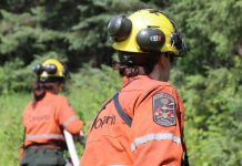
FireRanger crews assigned to a specialized wildland fire engine are establishing hose lines in road-accessible areas. Ontario and Alberta crews continue to patrol both fires, establish hose lines and use helicopter water drops to extinguish hot spots.
Infrared scanning flights are identifying heat sources for ground crews and helicopter operations.
Fort Frances 38 – FOR038, north of Crystal Lake, is under control at 44.2 hectares.
Sioux Lookout 72 – Cat Lake First Nation
Sioux Lookout 72 is currently listed at 23,597 hectares and remains not under control.
FireRanger crews are making progress on suppression operations, supported by helicopters dropping water on hot spots.
Hydro One has replaced poles damaged by the fire along the Cat Lake power line. Electricity has been restored to the community.
Brightsand Fire Cluster
The Brightsand cluster includes Dryden 34, Dryden 35, Thunder Bay 54 and Thunder Bay 56.
Ontario FireRangers and crews from Alberta are assigned to fire suppression and values protection operations.
Dryden 34 – DRY034 is approximately 44,954 hectares and remains not under control.
Dryden 35 – DRY035 is approximately 22,461 hectares and remains not under control.
Crews are establishing hose lines while heavy equipment operators construct fire guards along sections of Dryden 35.
Thunder Bay 54 – THU054 is approximately 7,389 hectares and remains not under control.
Thunder Bay 56 – THU056 is approximately 7,947 hectares and remains not under control.
Firefighters and bucketing helicopters are targeting hot spots on Thunder Bay 56. Heavy equipment operators are building fire guards along portions of the fire.
Dryden 36 – Upper and Lower Moosehide Lakes
Dryden 36 is approximately 1,784 hectares and remains not under control.
Ontario FireRangers are working with Type 2 crews, Alberta personnel, helicopters and heavy equipment operators.
Minimal fire growth has been observed during several days of favourable weather conditions.
Highway 599 Fire Cluster
The Highway 599 cluster includes Sioux Lookout 84, Sioux Lookout 86 and Sioux Lookout 89.
Sioux Lookout 84 – SLK084 is approximately 4,796.6 hectares and remains not under control.
Sioux Lookout 86 – SLK086 is approximately 5,644 hectares and remains not under control.
Sioux Lookout 89 – SLK089 is approximately 7,190.1 hectares and remains not under control.
No recent fire growth has been observed within the cluster, and fire behaviour has remained minimal.
Ontario and Alberta crews continue to patrol for hot spots. Firefighters are using hand tools, pumps and hose lines to extinguish remaining sources of heat.
Overnight infrared scanning is planned to locate deep-burning areas and heat sources that may not be visible from the ground.
Evacuation Orders and Alerts
The following evacuation orders and alerts remain associated with fires in the Northwest Region:
- Evacuation Order – Dryden 36
- Evacuation Order – Thunder Bay 36, Thunder Bay 54, Thunder Bay 56, Dryden 34 and Dryden 35
- Evacuation Order – Fort Frances 14
- Expanded Evacuation Alert – Fort Frances 14
- Evacuation Alert – Fort Frances 15 and Fort Frances 38
Residents in affected communities should continue following instructions from local leadership, emergency officials and provincial authorities.
Aviation Restrictions
Thunder Bay 36 NOTAM
A Notice to Airmen is in effect in the area of Thunder Bay 36.
This restriction is in addition to standard limits imposed around active forest fires under Section 601.15 of the Canadian Aviation Regulations.
Unless authorized, aircraft must remain at least five nautical miles away from an active forest fire and below-airspace restrictions extend to 3,000 feet above ground level. The restricted airspace is reserved for aircraft involved in wildfire suppression.
Fort Frances 14 NOTAM
A separate NOTAM remains in place around Fort Frances 14, northeast of Byers Lake.
Pilots are reminded to check NAV CANADA’s Collaborative Flight Planning Services for current wildfire-related NOTAM information before flying.
Unauthorized aircraft can force water bombers and helicopters to leave an area, delaying suppression work and creating serious safety risks.
Restricted Fire Zone Remains in Effect
The Ministry of Natural Resources implemented a Restricted Fire Zone at 12:01 a.m. local time on July 15.
The restriction covers the Northwest Region and a small portion of the Northeast Region.
The Restricted Fire Zone was introduced because of the high to extreme fire hazard, increased wildfire activity and the need to reduce the number of human-caused fires.
Open-air burning is prohibited within the restricted area unless specifically authorized. Residents and visitors should check provincial restrictions before using any outdoor flame or heat source.
Regional Fire Hazard
Wildland fire danger levels are calculated using information from more than 130 weather stations across Ontario’s fire regions.
Conditions can change during the day as temperatures, humidity, wind and rainfall patterns develop.
Residents should consult Ontario’s interactive fire map for current fire locations, danger ratings, restrictions and status updates.
Reporting a Wildland Fire
To report a wildland fire north of the French and Mattawa rivers, call 310-FIRE — 310-3473.
To report a wildland fire south of the French or Mattawa rivers, call 911.
The public is encouraged to avoid active fire areas and keep roads, waterways and airspace clear for emergency personnel.
Summary: Ontario reports 117 active wildland fires in the Northwest Region, with major fires near Thunder Bay, Atikokan, Cat Lake, Brightsand and Highway 599 remaining out of control.