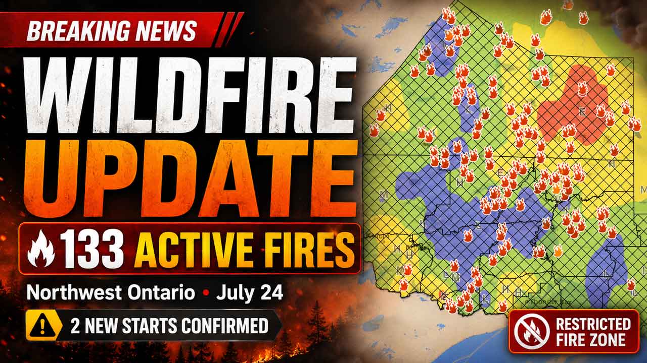
Northwest Ontario Wildfire Update: 133 Active Fires, Two New Starts Confirmed
THUNDER BAY — Two new wildland fires were confirmed in Northwestern Ontario on Friday, July 24, as crews continued suppression and community protection work on several large fires across the region.
As of 7:20 p.m. CDT, Aviation, Forest Fire and Emergency Services was reporting 133 active fires in the Northwest Region. Thirty were listed as not under control, five were being held, six were under control and 92 were being observed.
The continuing fire activity is affecting remote First Nations, transportation routes, hydro infrastructure and communities across Northwestern Ontario. Evacuation orders and alerts remain in place in several areas, while a regional fire ban and aviation restrictions continue.
Two New Fires Confirmed Near Lake Nipigon Area
Nipigon 83, identified as NIP083, is burning near the southwest side of Sim Lake, approximately 23 kilometres northwest of Kagianagami Lake. The fire was estimated at five hectares and was not under control at the time of the update.
Nipigon 84, or NIP084, is located near the shoreline of Lake Nipigon, approximately 11.5 kilometres west of Beardmore. The 0.2-hectare fire was also listed as not under control.
The new fires add to the workload facing provincial and visiting firefighters during a period of high to extreme fire danger across much of the region.
Thunder Bay 36 Remapped at More Than 315,000 Hectares
Thunder Bay 36 was remapped at 315,431 hectares on July 22 following aerial perimeter mapping and verification work on the ground.
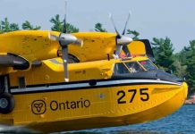
Fire crews continue to locate and extinguish hot spots along the perimeter. Helicopters are supporting firefighters with water-bucketing operations.
Heavy-equipment operators are making progress constructing fireguards, while crews continue values-protection work around structures and other important infrastructure.
A new Notice to Airmen, commonly called a NOTAM, is in effect in the area of Thunder Bay 36.
Additional Crews Assigned to Atikokan-Area Fires
The Atikokan cluster includes Fort Frances 14, Fort Frances 15 and Fort Frances 38.
Fort Frances 14 is estimated at 51,806 hectares and remains not under control.
Fort Frances 15 is estimated at 42,279 hectares and also remains not under control.
Additional firefighters from Alberta and Ontario have been assigned to both fires. Crews are establishing hose lines and patrolling for fire activity with support from water-bucketing helicopters.
Infrared scanning flights have started to identify heat beneath the surface and direct ground crews toward remaining hot spots.
Fort Frances 38, north of Crystal Lake, is under control at 44.2 hectares.
A NOTAM remains in effect around Fort Frances 14, northeast of Byers Lake.
Suppression Work Continues Near Cat Lake First Nation
Sioux Lookout 72, near Cat Lake First Nation, is estimated at 23,597 hectares and remains not under control.
The fire was among several that experienced significant growth on July 13 and 14.
FireRanger crews are reporting progress with suppression operations. Helicopters continue to target hot spots with water drops.
Hydro One has replaced poles damaged by the fire along the Cat Lake transmission line, and electricity has been restored to the community.
The restoration of power is an important step for Cat Lake First Nation, although continued fire activity means conditions may change quickly.
Minimal Fire Behaviour Reported in Brightsand Cluster
No significant changes have been recorded for several days in the Brightsand cluster, which includes Dryden 34, Dryden 35, Thunder Bay 54 and Thunder Bay 56.
Minimal fire behaviour was observed again on July 24.
Dryden 34 is estimated at 44,954 hectares and remains not under control.
Dryden 35 is estimated at 22,461 hectares and remains not under control. FireRanger crews are establishing hose lines while heavy-equipment operators construct fireguards along sections of the fire.
Thunder Bay 54 is estimated at 7,859 hectares and remains not under control.
Thunder Bay 56 is estimated at 7,947 hectares and remains not under control. Helicopters are targeting hot spots while heavy equipment is being used to build fireguards.
Although fire behaviour has been limited under recent weather conditions, these fires remain active and could respond to changes in wind, temperature and humidity.
Dryden 36 Shows Little Growth
Dryden 36, near Upper and Lower Moosehide lakes, is estimated at 1,784 hectares and remains not under control.
Ontario FireRangers are working with Alberta firefighters, helicopter crews and heavy-equipment operators on suppression operations.
Minimal growth has been observed over several days under favourable weather conditions.
An evacuation order connected to Dryden 36 remains among the emergency measures listed by the province.
Evacuation Orders and Alerts Remain in Effect
Provincial officials continue to list evacuation orders or alerts connected to several fires, including:
- Dryden 36;
- Thunder Bay 36, Thunder Bay 54 and Thunder Bay 56;
- Dryden 34 and Dryden 35;
- Fort Frances 14; and
- Fort Frances 15 and Fort Frances 38.
An expanded evacuation alert is also listed for Fort Frances 14.
Residents, travellers and people with family members in affected communities should monitor official provincial, municipal and First Nation communications. Fire conditions and evacuation instructions can change with little notice.
Special Airspace Restrictions in Place
NOTAMs are in effect around Thunder Bay 36 and Fort Frances 14.
These restrictions are in addition to the standard limits imposed around active forest fires under Section 601.15 of the Canadian Aviation Regulations.
Under the regulation, aircraft not involved in firefighting operations must remain at least five nautical miles from an active forest fire and must not fly below 3,000 feet above ground level within the restricted area.
Unauthorized aircraft, including drones, can force firefighting aircraft to leave an area and suspend aerial suppression work. Pilots should review current NOTAM information through NAV Canada’s Collaborative Flight Planning Services before departure.
Restricted Fire Zone Remains in Effect
A Restricted Fire Zone remains in effect across the Northwest Region and part of the Northeast Region because of high to extreme fire danger, the number of active fires and the risk of additional human-caused starts.
The restriction took effect in the Northwest Region on July 15 and was expanded into another portion of the Northeast Region on July 18.
Open-air burning, including campfires, is prohibited within the Restricted Fire Zone. All burning permits are suspended.
Portable gas or propane stoves may be used for cooking and warmth but must be operated with extreme caution.
The Restricted Fire Zone will remain in place until further notice.
The restriction is particularly important for Northwestern Ontario’s tourism, forestry and remote-work sectors. Anyone travelling to a camp, worksite or recreation area should confirm local restrictions before leaving and should not assume recent rainfall has removed the fire risk.
Fire Hazard Conditions Can Change During the Day
Ontario calculates its forest fire danger ratings using information collected from more than 130 weather stations across the province’s fire regions.
The interactive fire map is updated as weather information changes throughout the day.
Residents should check the latest conditions before travelling, operating equipment or carrying out any activity that could produce sparks or heat near dry vegetation.
How to Report a Wildland Fire
To report a wildland fire north of the French and Mattawa rivers, call 310-FIRE — 310-3473.
Fires south of the French or Mattawa rivers should be reported by calling 911.