THUNDER BAY — Thunder Bay begins Friday with shallow fog and saturated air before a warm, windy day. Sunshine will push the temperature to 27°C, while showers and a possible thunderstorm arrive overnight. Saturday remains unsettled before cooler, cloudy weather moves in Sunday.
Today’s Weather Overview
Current Conditions
At 7:00 a.m. EDT, the temperature was 12.1°C, with the dew point also at 12.1°C and humidity at 100 per cent.
Winds were light from the north at 2 km/h. Visibility was 32 kilometres, and pressure was 101.6 kPa and falling.
Fog patches will dissipate this morning. Friday will be sunny before becoming a mix of sun and cloud this afternoon.
South winds will strengthen to 30 km/h, gusting to 50 km/h. The high will reach 27°C, with a Humidex of 32.
The UV index will be 8, or very high.
Tonight
Tonight will become mainly cloudy, with showers beginning after midnight and a risk of an overnight thunderstorm.
Southwest winds of 30 km/h, gusting to 60 km/h, will become light late this evening.
The overnight low will be 18°C.
Thunder Bay Weekend Forecast
Saturday, July 25
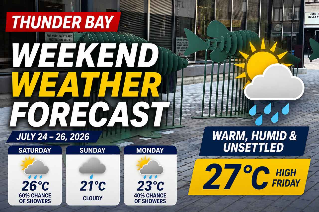
Showers will end during the morning, followed by a mix of sun and cloud and a 60 per cent chance of additional showers.
There will be a risk of a morning thunderstorm.
West winds will increase to 20 km/h, gusting to 40 km/h. The high will reach 26°C, with a Humidex of 31.
The UV index will remain 8, or very high.
Saturday night will bring cloudy periods and a low of 14°C.
Sunday, July 26
Sunday will be cloudy and noticeably cooler, with a high of 21°C.
Cloudy conditions will continue Sunday night, along with a 40 per cent chance of showers. The low will be 15°C.
Wardrobe Recommendations
Wear light clothing Friday and Saturday, but keep a rain jacket or umbrella nearby.
Sunscreen, sunglasses and a hat will be important because of the very high UV index.
A light sweater or jacket will be more comfortable Sunday as temperatures turn cooler.
Weather Trivia
Thunder Bay’s proximity to Lake Superior can cause major temperature changes over a short distance. Winds coming off the lake often keep waterfront areas cooler than inland neighbourhoods.
Forecast issued: 5:30 a.m. EDT, Friday, July 24, 2026
Conditions observed: 7:00 a.m. EDT, Friday, July 24, 2026