
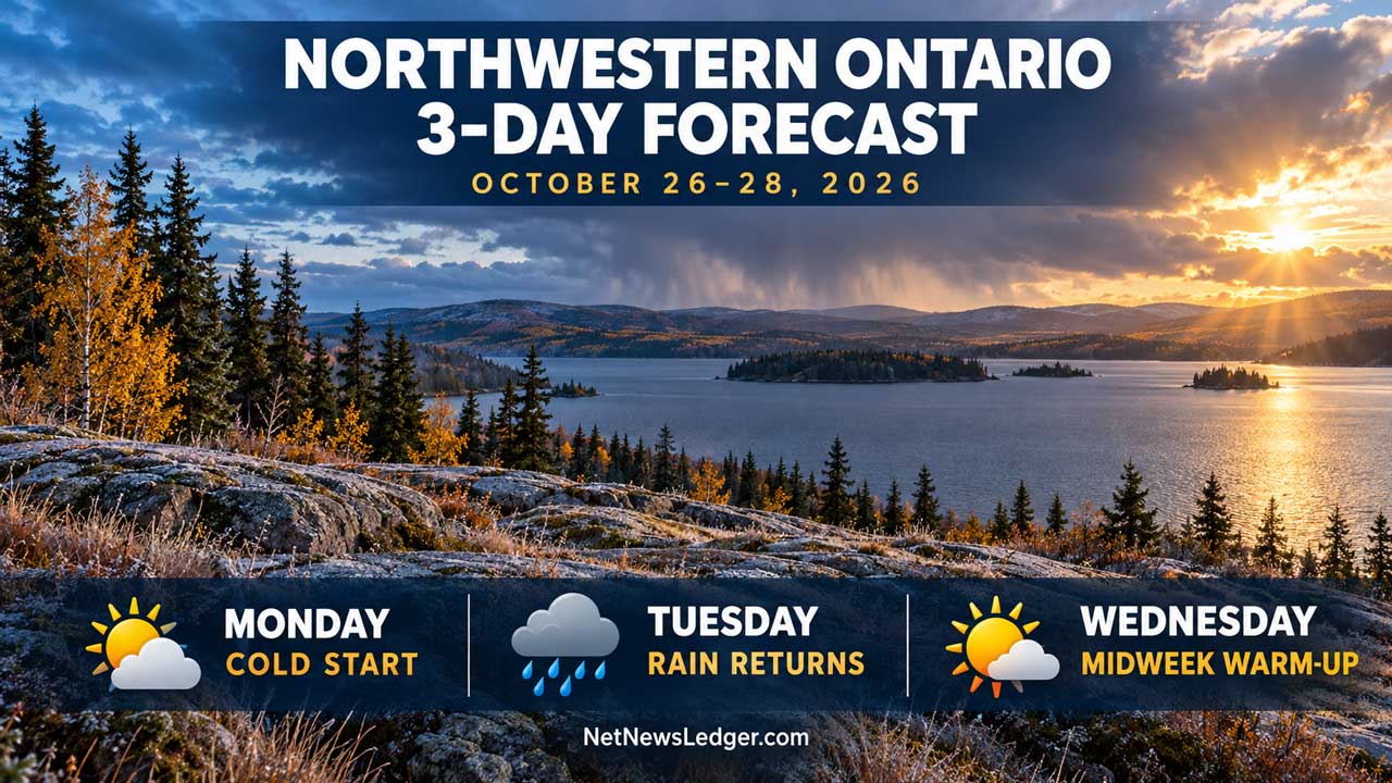
Northwestern Ontario’s October 26–28 forecast brings cold nights, possible flurries, rain and a Wednesday warm-up from Kenora to Thunder Bay and North Shore
Monday, October 26, to Wednesday, October 28, 2026
NORTHWESTERN ONTARIO — A cold start to the week will give way to increasing rain chances Tuesday and warmer temperatures Wednesday. Monday night brings widespread freezing temperatures, while early precipitation Tuesday could include flurries before changing to rain in several districts.
This outlook is based on Environment and Climate Change Canada’s October 26 morning forecasts. Ontario’s public alert table showed no active land weather alerts when checked Monday morning.
Community temperatures
Each entry shows the daytime high / following overnight low, in °C. Temperatures may rise Tuesday night as warmer air arrives.
| Community or forecast area | Monday, Oct. 26 | Tuesday, Oct. 27 | Wednesday, Oct. 28 |
|---|---|---|---|
| Kenora–Nestor Falls | 6 / −3 | 5 / 5 | 7 / 1 |
| Dryden–Ignace | 4 / −5 | 5 / 5 | 10 / 1 |
| Fort Frances–Emo–Rainy River | 6 / −4 | 6 / 6 | 11 / −2 |
| Atikokan–Quetico | 7 / −6 | 5 / 6 | 11 / 0 |
| Upsala–Raith | 5 / −8 | 4 / 6 | 11 / 0 |
| Red Lake | 3 / −8 | 4 / 3 | 7 / −1 |
| Ear Falls | 3 / −7 | 4 / 3 | 7 / −1 |
| Sioux Lookout–Savant Lake | 3 / −7 | 4 / 4 | 10 / 0 |
| Pickle Lake | 1 / −6 | 5 / 2 | 8 / 0 |
| Thunder Bay | 7 / −5 | 8 / 7 | 14 / 1 |
| Nipigon–Rossport | 5 / −5 | 7 / 7 | 11 / 2 |
| Marathon–Schreiber | 5 / −6 | 7 / 7 | 11 / 2 |
| Armstrong–Wabakimi | 3 / −10 | 5 / 3 | 11 / 2 |
| Geraldton–Longlac | 3 / −9 | 6 / 2 | 12 / 3 |
Sources: ECCC community forecasts and Northern Ontario regional bulletins, issued October 26.
Monday: Clearing skies, followed by a cold night
Kenora and Nestor Falls clear during the morning, followed by Dryden and Ignace during the afternoon. Fort Frances becomes sunny after a mix of sun and cloud.
Red Lake and Sioux Lookout have a 30 per cent chance of early flurries before afternoon clearing. Armstrong and Geraldton also have a morning flurry chance. Thunder Bay and Marathon enjoy mainly sunny skies.
Winds remain at or below 15 km/h in many western communities. Northerly winds along parts of the North Shore ease during the morning, although Nipigon could see gusts to 40 km/h before they diminish.
Clear skies bring a cold night. Armstrong falls to −10°C and Geraldton to −9°C. Overnight wind chills reach about −13 in Red Lake and Armstrong, and −14 around Geraldton.
Tuesday: Possible flurries before rain
Kenora, Dryden and Fort Frances: A 60 per cent chance of flurries or rain showers changes to a chance of rain showers late in the morning. Fort Frances develops southeast winds of 20 km/h late in the morning.
Ignace, Atikokan and Upsala: A few flurries or rain showers arrive in the morning, changing to rain showers late in the morning. Highs remain near 4°C–5°C.
Red Lake and Sioux Lookout: There is a 60 per cent chance of showers late in the afternoon. Red Lake starts mainly sunny, but its morning wind chill is forecast at −13. Winds remain up to 15 km/h.
Thunder Bay and the North Shore: Showers begin Tuesday morning in Thunder Bay, with southeast winds reaching 20 km/h late in the morning. Nipigon and Marathon have a 60 per cent chance of late-afternoon showers and southeast winds increasing to 20 km/h.
Armstrong, Geraldton and Pickle Lake: Armstrong has a 60 per cent chance of late-afternoon showers. Geraldton starts sunny before cloud increases. Pickle Lake also starts sunny, with afternoon cloud and a 40 per cent chance of showers Tuesday night.
Wednesday: Warmer, with rain chances continuing
Thunder Bay climbs to 14°C, with a mix of sun and cloud and a 60 per cent chance of rain. Atikokan reaches 11°C with the same rain probability.
Kenora has a 40 per cent chance of showers and a high of 7°C. Dryden reaches 10°C and Fort Frances 11°C, also with a 40 per cent shower chance.
Red Lake and Sioux Lookout remain cloudy with a 70 per cent chance of rain. The same probability applies around Armstrong and the Nipigon–Marathon district. Geraldton has a 60 per cent chance of rain.
Pickle Lake has periods of rain, followed by a 60 per cent chance of rain showers or flurries Wednesday night as temperatures fall to 0°C.
What to wear and plan for
Warm layers, gloves and a toque will help during the cold morning starts. Add a waterproof jacket and footwear for Tuesday and Wednesday.
Check for frost or slippery patches wherever surfaces are damp and temperatures fall below freezing. Conditions will vary between districts, so check the latest local forecast before travelling.
Weather fact
Thunder Bay’s normal daytime high for this time of year is 7°C. Wednesday’s forecast high of 14°C is 7°C above that seasonal benchmark.