THUNDER BAY — WEATHER DESK — Thursday, October 1, 2026 — Northwestern Ontario begins October with a chilly morning, strong west winds and a growing chance of showers. The strongest winds are expected Thursday, with gusts reaching 50 km/h in several communities.
Friday should bring improving conditions in most areas, although showers remain possible. Saturday will be cooler and cloudier, with another chance of rain.
Three-Day Forecast at a Glance
| Community | Thursday, Oct. 1 | Friday, Oct. 2 | Saturday, Oct. 3 |
|---|---|---|---|
| Kenora and Lake of the Woods | Sun then cloud, 30% chance of showers. West wind 30 km/h, gusting to 50. High 13 C; low 4 C. | Sun and cloud, 30% chance of morning showers. High 14 C; low 4 C. | Cloudy with 40% chance of showers. High 12 C; low 5 C. |
| Dryden and Vermilion Bay | Sun then cloud, 30% chance of late showers. West wind 30 km/h, gusting to 50. High 14 C; low 4 C. | Cloudy with a 30% chance of morning showers, clearing later. High 13 C; low 4 C. | Cloudy with 40% chance of showers. High 12 C; low 4 C. |
| Sioux Lookout and Savant Lake | Sun then cloud, 30% chance of showers. West wind 20 km/h, gusting to 40. High 14 C; low 5 C. | Cloudy with a 40% chance of showers, clearing late. High 12 C; low 5 C. | Cloudy with a 30% chance of showers. High 12 C; low 3 C. |
| Red Lake and Ear Falls | Sun then cloud, 30% chance of showers. West wind 20 to 30 km/h, gusting to 40 or 50. High 11 C; low 4 C. | Sun and cloud, 30% chance of morning showers. High 13 C; low 3 C. | Cloudy with a 30% chance of showers. High 13 C; low 3 C. |
| Fort Frances, Emo and Rainy River | Sunny, becoming partly cloudy. West wind 30 km/h, gusting to 50. High 15 C; low 5 C. | Sun and cloud with a 30% chance of morning showers. High 14 C; low 3 C. | Cloudy with a 40% chance of showers. High 14 C; low 4 C. |
| Atikokan and Quetico | Sunny early, then increasing cloud. West wind 30 km/h, gusting to 50. High 15 C; low 6 C. | Sun and cloud with a 30% chance of showers. High 13 C; low 1 C. | Cloudy with a 40% chance of showers. High 12 C; low 4 C. |
| Pickle Lake | Increasing cloud with a 40% chance of showers. West wind 30 km/h, gusting to 50. High 12 C; low 4 C. | Showers ending near noon, then cloudy. Northwest wind 30 km/h, gusting to 50, easing later. High 11 C; low 5 C. | Sun and cloud with a 30% chance of showers. High 15 C; low 4 C. |
Kenora, Dryden and the Lake of the Woods
Kenora will see sunshine early Thursday before clouds increase. A 30 per cent chance of showers develops in the afternoon. West winds will reach 30 km/h, with gusts up to 50 km/h. Dryden and Vermilion Bay face a similar pattern, with temperatures near 14 C. Environment and Climate Change Canada forecasts showers Thursday night and improving conditions Friday.
Open areas around Lake of the Woods, Rainy Lake and other large inland lakes may become choppy. Small-craft operators should check conditions before leaving shore and avoid relying only on sheltered-bay conditions.
Sioux Lookout, Savant Lake, Red Lake and Ear Falls
Sioux Lookout and Savant Lake will start with sunshine, followed by cloud and a 30 per cent chance of afternoon showers. Winds will become west at 20 km/h, gusting to 40. Friday will remain unsettled before clearing late in the day.
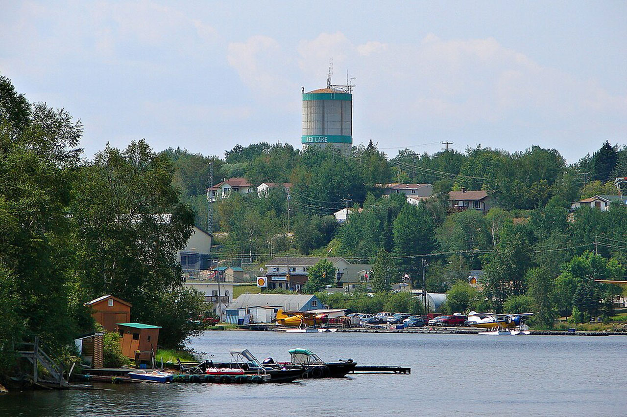
Red Lake and Ear Falls will be cooler, with highs near 11 C Thursday. West winds will increase, and Ear Falls could see gusts near 50 km/h. Red Lake’s forecast calls for a 30 per cent chance of afternoon showers and a 40 per cent chance Thursday night.
Rainy River District
Fort Frances, Emo and Rainy River will have the mildest conditions in the region Thursday, with highs near 15 C. Sunshine will give way to cloud near noon, and west winds will gust to 50 km/h. A few showers are possible overnight.
Friday will be a mix of sun and cloud with a 30 per cent chance of morning showers. Saturday will be cloudier, with a 40 per cent chance of showers.
Atikokan, Quetico and Pickle Lake
Atikokan and Quetico will reach about 15 C Thursday, but strong west winds may affect canoe routes, exposed shorelines and high-profile vehicles. Friday night could fall to near 1 C.
Pickle Lake will have some of the most changeable conditions. Winds may gust to 50 km/h Thursday and Friday morning. Showers may linger into Friday before easing. Travellers should be prepared for sudden changes in visibility and rougher conditions on exposed lakes.
Weather Alerts
The ECCC alert table checked early Thursday listed a fog advisory for the Marathon-Schreiber area. No alert was displayed in that check for Kenora, Dryden, Sioux Lookout, Red Lake, Fort Frances, Atikokan or Pickle Lake. Alerts can change quickly, especially as fog and wind conditions develop.
Travel and Safety Advice
- Drivers should slow down on wet roads and allow extra following distance.
- High-profile vehicles, trailers and campers may be pushed by west crosswinds.
- Watch for wildlife near highways, especially around dawn and dusk.
- Secure signs, tools, tents, tarps and construction materials before winds increase.
- Boaters should wear approved flotation devices, carry communications equipment and check local lake conditions before departure.
- Outdoor workers should dress in layers and take shelter if winds become uncomfortable or equipment becomes unsafe.
School Bus Status
No route-specific school bus cancellation or delay could be independently verified during the morning check. The Northwestern Ontario Student Services Consortium website returned an access error to the automated check. This does not confirm that all buses are operating.
No public notice reviewed identified a weather-related cancellation or a driver-shortage cancellation. Families should check the Northwestern Ontario Student Services Consortium directly and confirm with their school or bus operator before travel.