Thunder Bay starts with frost and fog before three sunny, milder days. ECCC’s Western Lake Superior forecast brings 15-knot winds
THUNDER BAY – WEATHER DESK – Monday, September 21, 2026 – Thunder Bay is starting the week with near-freezing temperatures, patchy fog and a frost advisory. The next three days should turn brighter and milder, with sunshine and afternoon highs of 16 to 17°C.
Heading into the studio this morning light gloves would have been nice. It isn’t yet time to put “Mittens on your Kittens” but this morning is a reminder that fall is almost here.
For boaters, Western Lake Superior will remain more complicated than the city forecast. East to northeast winds and offshore waves of about 1 to 1.5 metres can make open-water travel uncomfortable for small craft, even though no strong-wind warning is listed for Lake Superior.
Current Conditions and Weather Alerts
At 6:00 a.m. EDT, Thunder Bay Airport reported a temperature of 1.5°C, a west-southwest wind at 5 km/h, a dew point of 1.3°C and relative humidity of 99 per cent. Fog patches were present in the area.
Environment and Climate Change Canada had a Yellow Frost Advisory in effect for the City of Thunder Bay early Monday. Patchy frost was expected during the morning, with another risk late tonight into Tuesday morning. Residents should protect sensitive plants, crops and exposed water lines.
The frost advisory season ends today, but that does not mean frost is impossible after the advisory program ends. Check the ECCC alert map before outdoor work or travel.
Monday, September 21: Sunny After a Frosty Start
Monday will be mainly sunny as fog patches dissipate. The high will be 16°C. Tonight will be clear, but fog patches may develop overnight. The low will be near 0°C, so frost is possible again in sheltered and rural areas.
Tuesday, September 22: Sunny and Mild
Tuesday will be sunny, with morning fog patches clearing. The high will reach 17°C. Skies will remain clear Tuesday night, with a low near 1°C.
Wednesday, September 23: Another Bright Day
Wednesday will be sunny with a high near 17°C. The night will stay clear, with a low near 4°C. The current ECCC forecast shows no meaningful chance of rain, snow or freezing rain through Wednesday.
Three-Day Forecast at a Glance
| Day | Daytime | High | Night | Low |
|---|---|---|---|---|
| Monday, Sept. 21 | Mainly sunny; fog patches dissipating | 16°C | Clear; fog patches developing | 0°C |
| Tuesday, Sept. 22 | Sunny; morning fog patches dissipating | 17°C | Clear | 1°C |
| Wednesday, Sept. 23 | Sunny | 17°C | Clear | 4°C |
Air Quality: Low Risk
The Thunder Bay Air Quality Health Index was 1, or low risk, in the early-morning observation. ECCC’s forecast maximum is 2, also low risk, through Tuesday. At these levels, the general population can continue normal outdoor activities.
People with heart or breathing conditions should follow their usual medical advice and watch for symptoms. AQHI values can change with smoke, traffic and weather, so check the latest ECCC AQHI page.
Travel and Outdoor Conditions
The main travel concerns are early-morning frost and patchy fog. Bridges, ramps, shaded roads, docks and untreated rural surfaces may be slippery near sunrise. Fog can briefly reduce visibility, especially near wetlands and low-lying areas.
No significant precipitation is forecast through Wednesday. Drivers should still use headlights in fog, slow down when visibility drops and leave extra following distance. Check Ontario 511 for road closures, construction and local incidents before a longer trip.
Outdoor workers should plan for cold hands and stiff equipment during the early shift, then warmer sunshine in the afternoon. Gardeners should cover frost-sensitive plants tonight.
Western Lake Superior Marine Forecast
Warnings: The 3:00 a.m. EDT ECCC marine bulletin lists no strong-wind warning for Lake Superior or Western Lake Superior. A warning elsewhere on the Great Lakes does not automatically apply to Thunder Bay waters.
Wind today: Northeast winds near 15 knots will veer east at 15 knots early this morning. They will diminish to variable winds near 10 knots this afternoon, then become east at 10 knots this evening.
Tuesday: Winds are expected to become light near noon Tuesday, then turn northeast at 10 knots Tuesday evening.
Waves: The latest available ECCC wave bulletin checked before publication, issued at 3:00 a.m. Sunday, listed Lake Superior offshore waves of 1 to 1.5 metres. Wave heights are measured from trough to crest, and conditions near shore may differ. A new wave bulletin is due Monday morning, so this figure must be refreshed before publication.
Weather and visibility: The current Lake Superior wind bulletin does not identify a specific fog event or other visibility restriction. ECCC defines fog conditions as visibility below one mile. Visibility can still change quickly near shore, in rain or in local fog banks.
Extended wind outlook: Wednesday is expected to bring southeast winds near 15 knots, diminishing to light in the morning. Thursday and Friday are forecast to have south winds near 15 knots, with Friday winds diminishing to light later.
Thunder Bay Harbour and the Open Lake Are Different
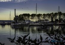
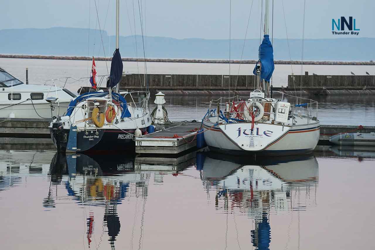
The marine bulletin describes offshore Lake Superior conditions. Thunder Bay Harbour, marinas and protected bays may be calmer because of the breakwater, shoreline and nearby islands. They can still develop choppy water at entrances and along exposed edges when winds blow across the harbour.
Open-lake waves of 1 to 1.5 metres can be uncomfortable or difficult for small motorboats, canoes, kayaks and paddleboards. The absence of a strong-wind warning means conditions are below that warning threshold; it does not mean every boat or every operator will be comfortable or safe.
Boating Safety
- Check the newest marine bulletin and local observations immediately before departure.
- Wear an approved personal flotation device and carry reliable communications.
- Remember that Lake Superior water remains dangerously cold, even on a sunny day.
- Small-craft operators should stay close to shelter or postpone an open-lake trip if waves build or the wind strengthens.
- Do not use calm harbour water as the only guide to conditions beyond the breakwater.
- Tell someone your route and expected return time.