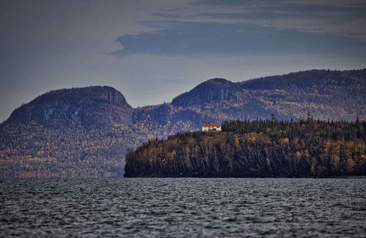
August 25, 2026: Thunder Bay Weather — Showers and Thunderstorm Risk with Changing Lake Superior Conditions
Thunder Bay is starting Tuesday under mostly cloudy skies as a more unsettled weather pattern moves into the city and across western Lake Superior. Showers are possible throughout the day, along with the risk of a thunderstorm, while temperatures remain slightly cooler than normal for late August.
For boaters, anglers and sailors, conditions on Western Lake Superior begin relatively manageable with light to moderate southerly winds and waves generally below half a metre. Conditions become less favourable later today as southeast winds strengthen, waves build and scattered showers and thunderstorms develop.
Environment Canada reports no weather alerts in effect for the City of Thunder Bay as of 6:25 AM EDT Tuesday. citeturn592400news5
Today’s Weather Overview
Current Conditions
At 5:00 AM EDT Tuesday, Thunder Bay Airport was reporting mostly cloudy skies and 10.9°C.
Humidity was very high at 97 percent, with a dew point of 10.4°C. Barometric pressure was 101.7 kPa and falling, while northwest winds were almost calm at only 3 km/h. Visibility was 24 kilometres. citeturn975420view1
The high humidity and temperatures sitting close to the dew point are giving the morning a cool, damp feel.
Tuesday Forecast — Showers and Thunderstorms Possible
Environment Canada’s 5:30 AM EDT forecast calls for a mix of sun and cloud with a 60 percent chance of showers and a risk of a thunderstorm.
The afternoon high reaches 20°C, with a humidex of 25. The UV index will be 4, or moderate. citeturn975420view1
Thunder Bay’s normal daytime high for August 25 is about 22°C, putting today’s forecast roughly two degrees below seasonal. citeturn975420view1
Any thunderstorm that develops could produce rapidly changing conditions. People heading onto Lake Superior or inland lakes should keep an eye on the sky and check current radar before departure.
Tonight
Tonight remains cloudy with a 60 percent chance of showers. There is also a risk of a thunderstorm early this evening.
The overnight low will be a comparatively mild 16°C, well above the seasonal normal low of around 9°C. citeturn975420view1
Lake Superior Marine Weather
Western Lake Superior — Tuesday
Environment Canada’s latest available Western Lake Superior marine forecast calls for winds becoming south at 10 knots early Tuesday morning, then strengthening to southeast 15 knots Tuesday evening. citeturn975420view0
Ten knots is approximately 19 km/h, while 15 knots is about 28 km/h.
The southerly flow means conditions should remain comparatively modest through the earlier part of Tuesday before winds and waves increase later in the day.
Waves
Waves are forecast at 0.5 metres or less initially, then building to 0.5 to 1 metre Tuesday evening as southeast winds strengthen. citeturn975420view0
For smaller boats, canoes and kayaks, the earlier portion of the day offers the better marine-weather window. Conditions on exposed portions of western Lake Superior can become noticeably rougher once waves begin building.
Sheltered waters around Thunder Bay Harbour may be calmer than the open-lake forecast.
Showers and Thunderstorms on the Lake
The marine forecast calls for scattered showers late today with a risk of thunderstorms. citeturn975420view0
That thunderstorm risk is particularly important for boaters. Thunderstorms can bring abrupt wind shifts, locally higher waves, reduced visibility and lightning even when conditions were relatively calm shortly beforehand.
Environment Canada’s Western Lake Superior forecast page was not displaying an active marine warning with the latest forecast available early Tuesday morning. Mariners should still check the newest forecast before leaving shore because warnings can be issued quickly when conditions change. citeturn975420view0
Tomorrow’s Forecast
Wednesday, August 26
Wednesday remains unsettled in Thunder Bay.
Environment Canada is forecasting cloudy skies with a 60 percent chance of showers. Northwest winds increase to 20 km/h gusting to 40 late in the morning.
Despite the cloud and showers, temperatures climb sharply to 25°C, with a humidex of 30. citeturn975420view1
Wednesday night brings cloudy periods with a 30 percent chance of showers and a low of 11°C.
Wednesday on Western Lake Superior
Marine winds are forecast to be south at 15 knots, shifting to west at 15 knots during the afternoon. citeturn975420view0
That wind shift will mark another transition in the weather pattern and could produce changing wave conditions during the day.
Thursday, August 27
Thunder Bay sees a mix of sun and cloud Thursday with a 30 percent chance of showers and a high of 20°C.
Thursday night turns clear and considerably colder, falling to only 7°C. citeturn975420view1
On Western Lake Superior, northwest winds near 15 knots are expected Thursday. citeturn975420view0
Friday, August 28
Friday currently looks like the best weather day in the extended outlook.
Thunder Bay is forecast to be sunny with a high of 21°C, followed by a clear night and low of 10°C. citeturn975420view1
Western Lake Superior winds are forecast to become light Friday, which could provide another more favourable marine-weather window if the forecast holds. citeturn975420view0
Boating and Marine Outlook
Tuesday morning offers the more manageable boating conditions, with relatively light winds and waves below half a metre.
Conditions become more unsettled later in the day as southeast winds strengthen to 15 knots, waves build toward one metre and thunderstorms become possible.
Anyone heading onto Lake Superior should carry proper safety equipment and check updated marine conditions immediately before departure. Thunderstorms are the biggest concern today because they can alter wind and wave conditions very quickly.
For paddlers and smaller recreational craft, avoiding exposed open-water crossings late in the day would provide a larger margin for changing conditions.
Wardrobe Recommendations
Tuesday calls for layers and rain protection.
A light jacket or hoodie will feel comfortable during the cool morning, while temperatures around 20°C should allow for lighter clothing later today.
Keep a water-resistant jacket or compact umbrella nearby because showers are likely enough to remain a factor throughout the day.
For people spending time on Lake Superior, a wind-resistant outer layer is worthwhile even when temperatures inland feel mild. Air temperatures over the lake and along exposed shorelines can feel noticeably cooler.
Anyone outside during thunderstorms should seek proper shelter rather than relying on rain gear alone.
Weather Trivia
Thunder Bay’s normal temperature for August 25 is approximately 22°C during the day and 9°C overnight. Today’s forecast high of 20°C is a little cooler than normal, but tonight’s low of 16°C is about seven degrees warmer than the seasonal average. citeturn975420view1
Sunrise today is at 7:04 AM EDT, while sunset will be at 8:53 PM EDT. Thunder Bay still has almost 14 hours of daylight, but the days are shortening quickly as August approaches its end. citeturn975420view1
Lake Superior’s enormous volume of water also gives it a major influence on local weather. The lake changes temperature much more slowly than the surrounding land, helping create cooler shoreline conditions on some warm days and modifying overnight temperatures near the waterfront.
Sources: Environment and Climate Change Canada Thunder Bay observations and public forecast issued 5:30 AM EDT Tuesday, August 25, 2026, and the latest available Western Lake Superior marine forecast. citeturn975420view1turn975420view0
Summary
Thunder Bay weather for August 25, 2026: A 60% chance of showers and thunderstorms with a high of 20°C. Western Lake Superior winds strengthen to southeast 15 knots tonight as waves build to 0.5 to 1 metre.