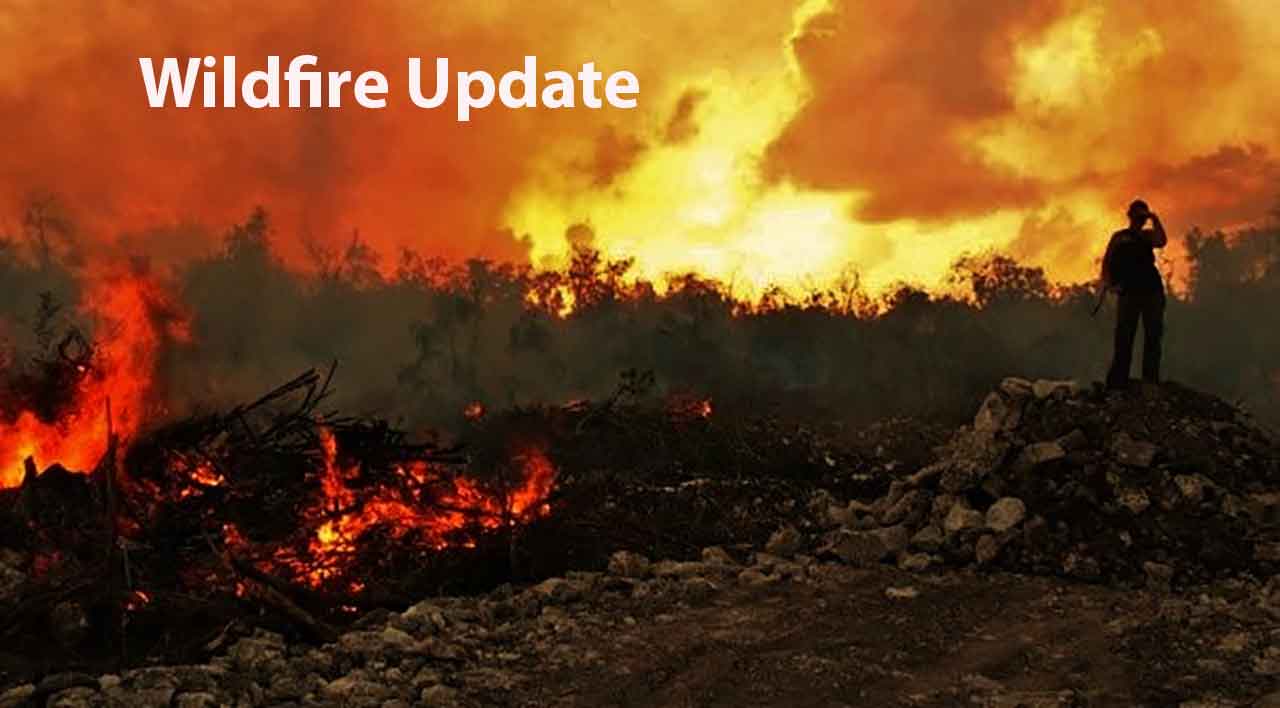
THUNDER BAY – WILDFIRE UPDATE – August 5, 2026 – Aviation, Forest Fire and Emergency Services confirmed three new wildland fires in Ontario’s Northwest Fire Region by the evening of Wednesday, August 5.
As of 6:16 p.m. CDT, there were 114 active wildland fires across the region. Of those fires, 17 were not under control, 10 were being held, three were under control and 84 were being observed.
A Restricted Fire Zone remains in effect across the Northwest Region and a small portion of the Northeast Region due to high-to-extreme fire danger, increased fire activity and the number of active incidents.
Three New Fires Confirmed
Thunder Bay 75 – THU075
Thunder Bay 75 is located approximately 30 kilometres northwest of Shabaqua Corners, north of Athelstane Lake. The fire is 0.1 hectares and is being held.
Fort Frances 60 – FOR060
Fort Frances 60 is located approximately two kilometres west of the western perimeter of Fort Frances 14, near Byers Lake. The 0.1-hectare fire is not under control.
Nipigon 95 – NIP095
Nipigon 95 is burning along the eastern shore of Lake Nipigon on a peninsula near Humboldt Bay. The fire is 0.1 hectares and is not under control.
Fires of Note
Rinker Lake Complex
The Rinker Lake Complex includes Thunder Bay 36, Dryden 34 and Dryden 35.
There are 15 wildland firefighting crews from Ontario and Alberta assigned to the complex, along with two 20-person crews from Mexico. Heavy-equipment operators, 16 helicopters, pilots, overhead personnel from Ontario and Québec, and an Incident Management Team are also supporting operations.
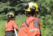
Crews are patrolling fire areas, extinguishing hotspots, consolidating hose lines and installing and maintaining values-protection equipment.
Helipads are being constructed to improve access and allow equipment and personnel to be moved into additional areas of the fires.
Heavy-equipment operators continue to build fire guards along portions of the Thunder Bay 36 and Dryden 35 perimeters. Helicopter bucketing operations are continuing where required.
Thunder Bay 36 – THU036 has been more accurately remapped at 301,009 hectares and remains not under control.
Dryden 34 – DRY034 has been more accurately remapped at 45,800 hectares and remains not under control.
Dryden 35 – DRY035 is currently 31,510 hectares and remains not under control.
Atikokan Fire Cluster
The Atikokan-area cluster includes Fort Frances 13, Fort Frances 14 and Fort Frances 15.
Infrared scanning continues along sections of the fire perimeters, providing ground crews with hotspot locations to locate and extinguish.
A 10-person firefighting crew from Prince Edward Island is being added to suppression operations.
Crews continue to patrol the fire perimeters and establish hose lines. Helicopters are supporting ground crews by dropping water on isolated hotspots.
Fort Frances 14 and Fort Frances 15 continue to show low fire behaviour and minimal growth. Operations staff are assessing priorities and opportunities for crews working on Fort Frances 13.
Fort Frances 13 – FOR013 is currently 25,279 hectares and remains not under control.
Fort Frances 14 – FOR014 is currently 51,768 hectares and remains not under control.
Fort Frances 15 – FOR015 is currently 42,273 hectares and remains not under control.
Dryden 36 – Upper and Lower Moosehide Lakes
Dryden 36 is being held at 1,710 hectares.
A fire classified as being held is not expected to spread beyond existing or predetermined control boundaries under current or forecast conditions, based on the suppression resources committed to the incident.
Ontario FireRangers and firefighters from Mexico continue ground-suppression work with support from bucketing helicopters.
Low fire behaviour has been observed in recent days under favourable weather conditions.
This is expected to be the final update for Dryden 36 as a fire of note.
Evacuation Orders and Alerts
Evacuation orders and alerts remain associated with several fires in the Northwest Region.
Current notices include:
- Evacuation Order for Dryden 36
- Evacuation Order for Thunder Bay 36, Thunder Bay 54, Thunder Bay 56, Dryden 34 and Dryden 35
- Evacuation Order for Fort Frances 14
- Expanded Evacuation Alert for Fort Frances 14
- Evacuation Alert for Fort Frances 15 and Fort Frances 38
Fort Frances 13 Evacuation Alert Lifted
The evacuation alert for the Saganaga Lake area near Fort Frances 13 has been lifted.
The alert was originally issued by the Thunder Bay–Ignace District on July 24, 2026.
Fort Frances 13 is also known as the Little Knife fire in Minnesota.
Wildland fire suppression operations are continuing, but officials say public safety concerns associated with this fire no longer require the evacuation alert.
Restrictions remain in effect around other active fires in the area.
Aviation Restrictions
NOTAM for Thunder Bay 36
A Notice to Airmen remains in effect in the area of Thunder Bay 36.
The NOTAM is in addition to the standard airspace restrictions imposed around active forest fires under Section 601.15 of the Canadian Aviation Regulations.
Airspace within five nautical miles of an active forest fire, up to 3,000 feet above ground level, is restricted to aircraft involved in fire-suppression operations.
NOTAM for Fort Frances 14
A NOTAM is also in effect near Fort Frances 14, northeast of Byers Lake.
Pilots are reminded to check Nav Canada’s Collaborative Flight Planning Services under the Weather and NOTAM section before flying in affected areas.
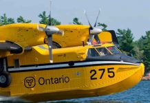
Unauthorized aircraft and drones can force waterbombers and helicopters to leave the area, delaying suppression operations and placing firefighters and flight crews at risk.
Restricted Fire Zone Remains in Effect
The Ministry of Natural Resources implemented a Restricted Fire Zone at 12:01 a.m. local time on July 15.
The restriction covers the Northwest Fire Region and a small portion of the Northeast Fire Region.
The Restricted Fire Zone was introduced because of the high-to-extreme fire hazard, increased wildland fire activity, the regional fire load and the need to reduce human-caused fires.
Residents and visitors should confirm which activities are prohibited before travelling, camping or working in forested areas.
Fire Hazard Conditions
Ontario’s forest fire danger rating is calculated using information collected from more than 130 weather stations across the province’s fire regions.
Conditions can change throughout the day as temperatures, humidity, wind and precipitation change.
The latest fire hazard information, active fire locations, restrictions and incident updates are available through Ontario’s interactive forest fire map.
Reporting a Wildland Fire
To report a wildland fire north of the French and Mattawa rivers, call 310-FIRE — 310-3473.
To report a wildland fire south of the French or Mattawa rivers, call 911.
Residents are encouraged to follow Ontario’s forest fire information channels and monitor official emergency notices for updated evacuation orders, travel restrictions and public-safety information.
Source: Aviation, Forest Fire and Emergency Services, Ontario Ministry of Natural Resources
Report time: August 5, 2026, at 6:16 p.m. CDT