Northwest Wildfire Update: Crews Make Progress as 140 Fires Remain Active
THUNDER BAY – WILDFIRE UPDATE – Favourable weather is helping firefighters make progress on several major Northwestern Ontario wildfires, but 140 fires remained active across the region as of 6:45 p.m. CDT on July 20.
Two new fires were confirmed during the day near Pickle Lake and north of Highway 17. Both remained out of control at the time of the update.
The regional fire total has declined from 146 reported the previous evening. However, 47 fires remain out of control, while evacuation orders, travel restrictions and a broad Restricted Fire Zone remain in effect.
Two New Fires Confirmed July 20
Sioux Lookout 102, listed as SLK102, is approximately 12 kilometres east of Pickle Lake and northwest of Juby Lake. The fire measures 0.1 hectares and is not under control.
Dryden 43, or DRY043, is approximately 22 kilometres north of Highway 17 and south of Sowden Lake. It also measures 0.1 hectares and is not under control.
Of the 140 active fires in the Northwest Fire Region:
47 are not under control.
Six are being held.
Seven are under control.
80 are being observed.
Crews Make Progress on Thunder Bay 36
Thunder Bay 36 remains not under control at 318,812.7 hectares.
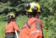
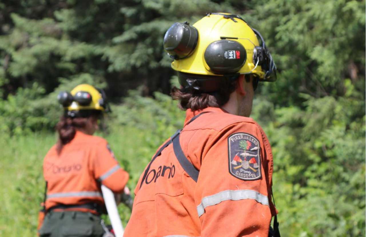
FireRanger crews, helicopters and heavy-equipment operators are assigned to the fire.
Favourable weather has reduced fire behaviour and allowed crews to make progress along the fire line. The size and status of the fire mean it remains a significant incident requiring continued suppression and monitoring.
The fire continues to have implications for remote travel, traditional land use, resource operations and communities across the affected area. Conditions may change again if warmer, drier or windier weather returns.
Ontario and Alberta Firefighters Work Atikokan Cluster
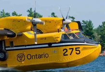
Firefighters from Ontario and Alberta are assigned to the group of major fires near Atikokan, supported by helicopters dropping water on hotspots.
Fort Frances 14 remains not under control at 51,806 hectares.
Fort Frances 15 has been remapped to a smaller and more accurate size of 41,830.2 hectares. It also remains not under control.
Provincial officials reported no growth from either fire perimeter toward major transportation corridors.
Fort Frances 38, north of Crystal Lake, is under control at 44.2 hectares.
Favourable weather has reduced fire behaviour across the cluster and allowed crews to make progress on containment lines.
The lack of growth toward major travel corridors is encouraging for residents, evacuees and travellers in the Atikokan area. However, the two largest fires remain out of control and conditions are still considered subject to change.
Crews Target Hotspots Near Cat Lake First Nation
Sioux Lookout 72, near Cat Lake First Nation, measures 23,597 hectares and is not under control.
The fire was among several incidents that grew significantly on July 13 and 14.
FireRanger crews are making progress on suppression operations with support from helicopters targeting hotspots.
The fire remains important for Cat Lake First Nation and surrounding communities, where remoteness and limited transportation options can complicate emergency planning, evacuations and the delivery of essential services.
Evacuation Orders and Alerts Remain in Effect
Evacuation orders, alerts and implementation orders remain connected to several major fires.
These include:
An evacuation order related to Thunder Bay 36, Thunder Bay 54, Thunder Bay 56, Dryden 34 and Dryden 35.
An evacuation order related to Fort Frances 14.
An expanded evacuation alert related to Fort Frances 14.
An evacuation alert related to Fort Frances 15 and Fort Frances 38.
Residents should follow directions from their First Nation, municipality, police service and emergency-management officials.
People in areas under an evacuation alert should be prepared to leave quickly. Essential medications, identification, important documents, mobile devices, chargers and supplies for children, elders and pets should be kept ready.
Special Aviation Restrictions Near Fort Frances 14
A Notice to Airmen, or NOTAM, remains in effect near Fort Frances 14, northeast of Byers Lake.
The restriction is in addition to the standard airspace rules surrounding active forest fires under Section 601.15 of the Canadian Aviation Regulations.
Under those regulations, unauthorized aircraft must remain outside airspace extending five nautical miles around an active forest fire and up to 3,000 feet above ground level.
The restricted airspace is reserved for aircraft involved in wildfire suppression.
Pilots should consult NAV Canada’s Collaborative Flight Planning Services for current wildfire-related NOTAM information before flying.
Drone operators must also remain away from active fires. An unauthorized aircraft can force waterbombers and helicopters to suspend operations, putting crews and nearby communities at greater risk.
Restricted Fire Zone Remains in Effect
A Restricted Fire Zone remains in place across the Northwest Fire Region and part of the Northeast Fire Region.
The Northwest restrictions took effect July 15 and were expanded into another portion of the Northeast Region on July 18.
The measure was introduced because of the high to extreme fire hazard, the number of active wildfires and the need to prevent additional human-caused fires.
No open-air burning, including campfires, is allowed within the Restricted Fire Zone.
All burning permits are suspended.
Portable gas or propane stoves may be used for cooking or warmth but must be handled with extreme caution.
The Restricted Fire Zone will remain in effect until further notice.
The ban reduces the risk of preventable fires at a time when crews, aircraft and heavy equipment are already committed to large incidents across Northern Ontario.
Check Fire Conditions Before Travelling
Ontario calculates forest fire danger ratings using information from more than 130 weather stations.
The ratings may change during the day as temperature, humidity, wind and precipitation information is updated.
Residents, campers, anglers, forestry workers and travellers should check Ontario’s interactive fire map and current implementation orders before entering remote areas.
How to Report a Wildland Fire
To report a wildland fire north of the French and Mattawa rivers, call 310-FIRE (3473).
To report a wildland fire south of the French or Mattawa rivers, call 911.
Members of the public should remain outside evacuation zones, travel-restriction areas and active fire scenes unless authorized by emergency officials.