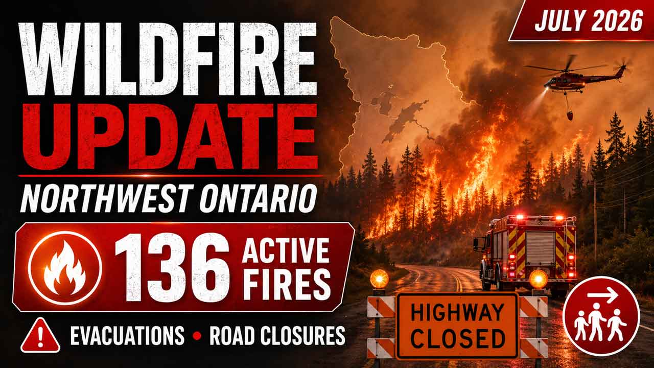
Northwest Ontario reports 136 active wildfires, evacuations, road closures and extreme fire danger.
THUNDER BAY — Eight new wildland fires were discovered in Northwestern Ontario by Wednesday evening as emergency crews continued responding to rapidly changing conditions across the region.
As of 7:44 p.m. CDT on July 15, Aviation, Forest Fire and Emergency Services was reporting 136 active fires in the Northwest Fire Region. Mandatory evacuations, evacuation alerts and highway closures remain in effect in several areas.
The situation has direct implications for Thunder Bay and communities across Northwestern Ontario. Smoke is affecting visibility, key transportation corridors have been disrupted and firefighting resources are being concentrated around communities, infrastructure and newly discovered fires where suppression work is most likely to succeed.
Eight new wildfires reported July 15
Seven of the eight new fires remained not under control at the time of the provincial update.
In the Sioux Lookout sector, Sioux Lookout 97 was burning on an island in Pashkokogan Lake. The fire was estimated at 0.1 hectares and was not under control.
Six new fires were reported in the Nipigon sector:
Nipigon 57 was near the northeast end of Lower Twin Lake. The one-hectare fire was not under control.
Nipigon 58 was near Triangular Lake, about 10.5 kilometres southwest of Fort Hope. The 0.6-hectare fire was not under control.
Nipigon 59 was west of Puppet Lake, about six kilometres north of Highway 584. The fire was estimated at nine hectares and was not under control.
Nipigon 60 was about nine kilometres southwest of Burrows Lake. The 4.5-hectare fire was not under control.
Nipigon 61 was approximately two kilometres east of Kellow Lake. At 36 hectares, it was the largest of the new fires and was not under control.
Nipigon 62 was north of Jefferies Lake. The 0.1-hectare fire was not under control.
Kenora 17 was discovered on an island in Lake of the Woods. The 0.1-hectare fire has been declared out.
Four other fires were called out during the day.
Northwest Region has 136 active fires
Of the 136 active fires in the Northwest Region:
63 were not under control;
five were being held;
five were under control; and
63 were being observed.
Fire officials said the scale and location of current fires require the full deployment of available resources. Operations are focused on protecting lives, communities, property and critical infrastructure while attempting to contain new fires where conditions allow.
Elevated fire danger and strong winds continue to increase the risk of fire growth and changing fire behaviour.
Wabakimi fires merge into Thunder Bay 36
Dryden 13 and several fires carrying Thunder Bay designations have merged into a large fire in the Wabakimi area.
The combined fire will now be identified as Thunder Bay 36.
Areas where significant fire growth was observed July 13 and 14 included:
Namaygoosisagagun First Nation, also known as Collins, Armstrong and Whitesand First Nation, in connection with Dryden 13;
McDowell First Nation, near Red Lake 23;
Quetico Provincial Park and the Atikokan area, near Fort Frances 15 and Fort Frances 38;
Gakijiwanong Anishinaabe Nation, near Fort Frances 37 and Minnesota’s Thumb Fire;
the Lac des Mille Lacs and Upsala area, near Fort Frances 14;
Mishkeegogamang First Nation;
Wabakimi Provincial Park;
Cat Lake; and
Fort Hope, near Nipigon 36 and Nipigon 58.
The merging of fires in the Wabakimi area reflects the scale of the current situation. Large fires in remote areas can also affect communities far from the fire perimeter through smoke, transportation interruptions and competition for aircraft and firefighting crews.
Mandatory evacuations and emergency operations
The Ministry of Natural Resources reported mandatory evacuation orders affecting:
Armstrong;
Namaygoosisagagun First Nation;
Cushing Lake;
Lac des Mille Lacs First Nation and nearby communities;
Whitesand First Nation;
Cat Lake;
Saugeen First Nation;
McDowell Lake;
Fort Hope; and
Mishkeegogamang First Nation.
The Ontario Provincial Police said evacuation operations were underway in Armstrong, Whitesand First Nation, Namaygoosisagagun First Nation, Gakijiwanong Anishinaabe Nation, Lac des Mille Lacs First Nation and surrounding areas.
The list of affected areas may change as local authorities assess fire behaviour and transportation conditions.
People in mandatory evacuation areas have been directed to leave immediately and travel away from active fires. The OPP is asking the public not to enter evacuated areas, including for photography or sightseeing.
OPP Aviation Services, the Emergency Response Team, Provincial Liaison Team and operational support personnel have been deployed to assist communities and the Ministry of Natural Resources.
Officers are supporting evacuations, enforcing road closures and working with Indigenous, municipal and emergency management partners.
Ignace and other areas told to prepare
Residents in Ignace, Crystal Lake and the Highway 633 area have been encouraged to prepare for a possible evacuation.
An evacuation alert has also been issued for areas near Fort Frances 14, Fort Frances 15 and Fort Frances 38 because of increased fire behaviour.
A separate alert covers Ontario areas affected by Fort Frances 39 and Minnesota’s Thumb Fire.
People living, camping or travelling near these fires should be prepared to leave on short notice.
Evacuation alert issued near Atikokan and Quetico
Ontario has issued an evacuation alert for the following townships near Atikokan and Quetico Provincial Park:
Hutchison;
Ramsay Wright;
Trottier; and
Weaver.
Residents and property users on or accessed by the following roads have been told to prepare to evacuate:
Boot Lake Road;
Camp 111 Road;
Crooked Pine Lake Road;
Duck Lake Road;
Marion Lake Road;
Premier Lake Road;
Sapawe-Upsala Road;
Stanton Bay Road; and
White Lily Road.
The alert also includes areas around:
Como Lake;
Crystal Lake;
Eva Lake;
Magnetic Lake;
Marion Lake;
Mercutio Lake;
Niobe Lake;
Nydia Lake;
Sapawe Lake;
Whiskeyjack Lake; and
Windigoostigwan Lake.
People in these locations should gather medications, identification, important documents, mobile devices, chargers and supplies required for children, other family members and pets.
Highway closures affecting regional travel
Closures or access restrictions were reported on several major transportation routes:
Highway 11 between Highway 633 and Highway 623;
Highway 599 between Highway 516 and Mishkeegogamang First Nation; and
Highway 527 between the Gull Bay First Nation area and Armstrong.
Some local traffic may be permitted when residents are leaving an evacuation area.
Drivers should expect rapidly changing conditions. Smoke has reduced visibility on some highways, and closures may be expanded or moved as fire conditions change.
The disruption of Highways 599 and 527 is especially significant because northern communities rely on a limited number of all-season roads for fuel, food, medical travel and other essential supplies.
Travellers should check 511on.ca before leaving and avoid all non-essential travel in affected areas. People should not call 911 for road closure information.
Restricted Fire Zone now in effect
A Restricted Fire Zone came into effect at 12:01 a.m. July 15 across the Northwest Fire Region and a small portion of the Northeast Fire Region.
The restriction was imposed because of high to extreme fire danger, the number of active fires and the need to prevent additional human-caused fires.
Open-air burning, including campfires, is prohibited within the Restricted Fire Zone. All burning permits are suspended.
Portable gas and propane stoves may be used for cooking and warmth but must be handled with extreme caution.
The restriction will remain in place until further notice.
Aviation restrictions near Fort Frances 14
A notice to airmen, or NOTAM, is in place near Fort Frances 14, northeast of Byers Lake.
The restriction is in addition to the standard airspace limits around active forest fires under the Canadian Aviation Regulations.
Unless authorized, aircraft must remain at least five nautical miles from an active forest fire and below restricted airspace extending to 3,000 feet above ground level. The restrictions are intended to protect water bombers, helicopters and other aircraft involved in fire suppression.
Pilots should review current wildfire NOTAMs through NAV Canada’s Collaborative Flight Planning Services before flying.
Smoke drifting across Northwestern Ontario
Smoke from fires in Canada and the United States remains visible across parts of Northwestern Ontario.
Smoke may reduce highway visibility and affect air quality, including in locations far from active fire zones. Residents should monitor information from local health units and official air-quality services, particularly if they have health conditions that may be aggravated by smoke.
Smoke movement across North America can be viewed through the forecasting map at firesmoke.ca.
Health-related questions can be directed to the Northwestern Health Unit at 1-800-830-5978 or the Thunder Bay District Health Unit at 807-625-5900.
Stay away from evacuation zones
The OPP is urging residents, visitors and media organizations to remain away from wildfire scenes and evacuated areas.
The public should:
follow evacuation orders and emergency instructions;
avoid non-essential travel;
keep roads clear for emergency vehicles;
monitor official information;
remain outside evacuated areas until authorities approve a return; and
prepare essential documents, medication and supplies before an evacuation order is issued.
Wildfires can change size and direction quickly because of wind, temperature, humidity and fuel conditions. An area that appears safe may become dangerous with little warning.
Current fire information is available through Ontario.ca/FireUpdates. Road conditions and closures are available through 511on.ca.
To report a wildland fire north of the French and Mattawa rivers, call 310-FIRE, or 3473. Call 911 to report a fire south of the French or Mattawa rivers or when there is an immediate threat to life or property.