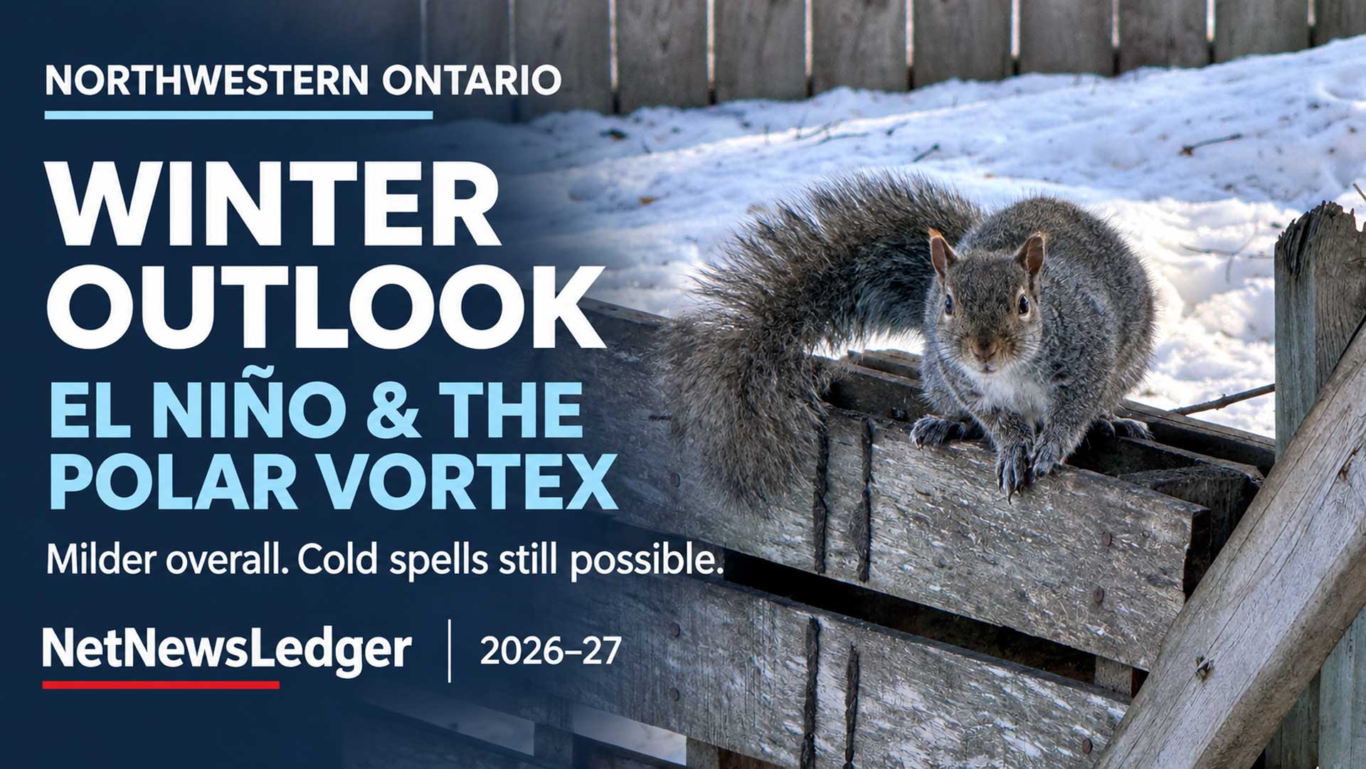
For Thunder Bay and Northwestern Ontario, the strongest signal is for above-normal temperatures overall—not an end to snowstorms, dangerous wind chills or winter travel problems.
THUNDER BAY — Climate News – A strengthening El Niño in the tropical Pacific and an unusually early disruption of the Arctic polar vortex are setting the stage for a complicated Canadian winter.
For Northwestern Ontario, the clearest message is that a milder-than-normal seasonal average is favoured, while significant cold outbreaks remain possible. Snowfall, storm tracks and the timing of freeze-up are less certain than the broad temperature outlook.
Environment and Climate Change Canada’s November seasonal outlook strongly favours above-normal temperatures in Thunder Bay for the November-to-January period. Meanwhile, NOAA’s latest assessment says a strong-to-very-strong El Niño is likely to continue through January–March 2027.
Those signals matter for everything from household heating to winter roads serving remote First Nations. They do not provide a reliable calendar of individual snowstorms or cold snaps.
El Niño is strengthening: what that means
El Niño develops when surface waters across the central and eastern tropical Pacific become unusually warm and the atmosphere responds.
Normally, trade winds push warm surface water westward. During El Niño, those winds weaken or sometimes reverse, allowing warmer water to spread eastward. Tropical rainfall and thunderstorm activity shift with it.
That redistribution of tropical heat changes atmospheric circulation far beyond the Pacific, influencing the winds that steer weather systems across North America.
Environment Canada says El Niño’s Canadian influence is strongest during winter and spring, often bringing milder conditions to western, northwestern and central parts of the country.
In its November 12 assessment, NOAA reported a sea-surface temperature departure of 2.5°C above average in the Niño-3.4 monitoring region. It placed the probability of a strong-to-very-strong event continuing through January–March at more than 79 per cent.
NOAA expects the event to strengthen further before weakening in early 2027. However, even a powerful El Niño increases the likelihood of familiar weather patterns without guaranteeing them.
What is happening with the polar vortex?
The stratospheric polar vortex is a large circulation of strong winds high above the Arctic. It normally develops and strengthens as the Northern Hemisphere loses sunlight during autumn.
It is not a storm that travels through Thunder Bay. Its importance comes from how changes high in the atmosphere can influence circulation closer to the ground.
A major disruption, known as a sudden stratospheric warming, involves rapid warming over the polar region and a reversal of the usual west-to-east winds at a standard monitoring level.
In a November 12 interview published by Climate.us, NOAA atmospheric scientist Amy Butler said those winds reversed on November 10, marking the earliest such warming in the observational record extending back to 1958.
Butler said the vortex split into two pieces, with blocking high-pressure systems near Alaska and Scandinavia appearing to play important roles. She cautioned that scientists do not yet know whether this exceptionally early event will have the same surface effects as disruptions later in winter.
That uncertainty is important. A dramatic change above the Arctic does not automatically produce a prolonged Canadian deep freeze.
How warming above the Arctic can lead to cold weather below
The apparent contradiction comes from the different atmospheric layers involved.
A warming stratosphere can alter the circulation beneath it, sometimes favouring patterns that allow Arctic air to move into lower latitudes. These effects can persist for weeks, but their location and strength vary.
NOAA research describes an increased likelihood of mid-latitude cold outbreaks following major sudden stratospheric warmings—not a certainty that every region will become colder.
Many cold outbreaks also happen without a major stratospheric disruption. Ordinary shifts in the lower atmosphere’s jet stream can bring Arctic air south.
El Niño and the vortex are connected, too. El Niño can encourage atmospheric wave patterns that disturb the vortex, although the relationship varies between events. Treating them as two completely separate systems fighting for control oversimplifies the science.
For the current disruption, Butler’s assessment suggested that surface effects could be relatively short-lived, while El Niño remained a strong influence on North American temperature forecasts.
What the Canadian forecast says about Thunder Bay
Environment Canada’s seasonal table, issued November 1, gives Thunder Bay a 96 per cent probability of above-normal temperatures for November–December 2026 and January 2027.
The same outlook strongly favours above-normal temperatures in Winnipeg and across much of eastern Canada.
There are three important limits to that figure:
- It describes the average temperature over three months, not each day.
- It covers November through January, rather than the full December–February meteorological winter.
- It does not say how far above normal temperatures will finish.
A season containing several mild stretches can still include a dangerous week of Arctic cold. Likewise, an above-normal January in Northwestern Ontario can remain well below freezing.
The broader winter outlook is consistent with Canadian Centre for Climate Services analysis: El Niño generally favours a milder winter across much of Canada, although precipitation patterns vary substantially between events.
What this could mean across Canada
The following are broad tendencies, not local forecasts:
| Region | Main implication of the current pattern |
|---|---|
| British Columbia and Yukon | Milder conditions are favoured overall. Reduced snow accumulation is a concern in some areas, although damaging rain and snow events remain possible. |
| Prairies | El Niño commonly supports winter warmth relative to normal. Dryness can become a concern, but Arctic outbreaks can interrupt the pattern. |
| Northwestern Ontario | A warmer seasonal average is favoured. Snowfall totals, thaw frequency and individual storm tracks remain less certain. |
| Southern Ontario and Quebec | Mild periods may affect precipitation type and snow-cover persistence. Significant winter storms remain possible. |
| Atlantic Canada | Storm tracks remain critical. El Niño does not support a simple nationwide prediction of a dry or snow-free winter. |
| Arctic Canada | Conditions vary by location and circulation pattern; southern Canadian expectations should not be applied uniformly across the North. |
Canadian analysis of previous very strong El Niño events found broadly warmer conditions across many regions, but mixed precipitation outcomes—including wetter conditions in some coastal and Great Lakes areas.
Northwestern Ontario: temperature confidence is stronger than snowfall confidence
For Thunder Bay, Kenora, Dryden, Fort Frances, Sioux Lookout, Red Lake and Greenstone, the reasonable planning assumption is a winter with a warm seasonal tendency and continued exposure to normal winter hazards.
That is a regional interpretation of the large-scale outlook, not a separate official forecast for every community.
An exact seasonal snowfall total would imply more confidence than the evidence supports. Snow accumulation depends on whether storms cross the region, how much moisture they carry and whether temperatures allow precipitation to fall—and remain—as snow.
A warmer season can produce less persistent snow cover. It can also deliver heavy snowfall when a moisture-rich storm encounters sufficiently cold air.
The distinction matters: less snow remaining on the ground does not necessarily mean fewer disruptive snowfall events.
Lake Superior can still help produce heavy snow
Lake-effect snow forms when cold air crosses comparatively warm, open water, picking up heat and moisture. Wind direction determines where that moisture falls.
Consequently, a mild period followed by a sharp cold outbreak can still produce intense, localized snow near the Great Lakes. A warmer seasonal outlook does not remove that mechanism.
Around Lake Superior, shoreline orientation and wind direction are crucial. Conditions in Thunder Bay cannot simply be inferred from a forecast for another part of the lake.
Research on western Lake Superior documents lake-effect and lake-enhanced precipitation during easterly wind patterns. That helps explain why some storms can receive an additional lake contribution on the western side of Superior.
For travellers, a regional snowfall outlook will therefore be less useful than the local forecast when a particular storm approaches.

Night time ice road building is a regular part of the job for the construction crews on the James Bay coast. Pictured are several pieces of heavy machinery operated by Kataquapit Freight Services.
Winter roads are a major concern for northern First Nations
For remote First Nations, sustained cold is essential infrastructure.
Winter roads require sufficiently frozen ground and safe water crossings. A warm seasonal tendency raises concern about delayed construction, interruptions and a shorter hauling window, although this outlook cannot establish opening dates or load limits for any route.
ClimateData.ca’s assessment of northern Ontario winter roads describes how warming threatens access and can increase costs for communities dependent on seasonal transportation.
The vulnerability differs between routes. Canada’s Changing Climate Report notes that the Poplar Hill winter road, with multiple water crossings, is more vulnerable than a predominantly land-based route such as the Pikangikum road, even within the same climate zone.
This is an established regional concern. In 2024, Nishnawbe Aski Nation chiefs declared a winter-road state of emergency as unusually warm conditions threatened essential shipments. That experience illustrates the stakes; it does not establish that the same outcome will occur this winter.
What residents should watch next
The most useful updates will address different timescales.
Seasonal outlooks will show whether the broad temperature and precipitation probabilities change. Environment Canada updates its seasonal products monthly.
Weekly forecasts will provide better evidence of developing cold outbreaks, mild spells and changes in storm tracks.
Local forecasts and warnings will determine when residents need to act on heavy snow, freezing rain, wind or extreme cold.
NOAA’s next scheduled ENSO diagnostic discussion is December 10.
For highway travel, Ontario recommends checking conditions through Ontario 511. Winter-road users must follow the responsible community or operator’s current restrictions rather than infer safety from air temperatures or a seasonal forecast.
For Northwestern Ontario, the evidence currently supports preparing for a milder winter on average, with substantial uncertainty about snow and the timing of cold spells. The early polar-vortex disruption adds a reason to monitor changing forecasts closely. It does not justify predicting either a winter-long deep freeze or a winter without serious weather.