Snow and gusty north winds linger around James Bay and the Albany River corridor, while western communities face sharp overnight wind chills
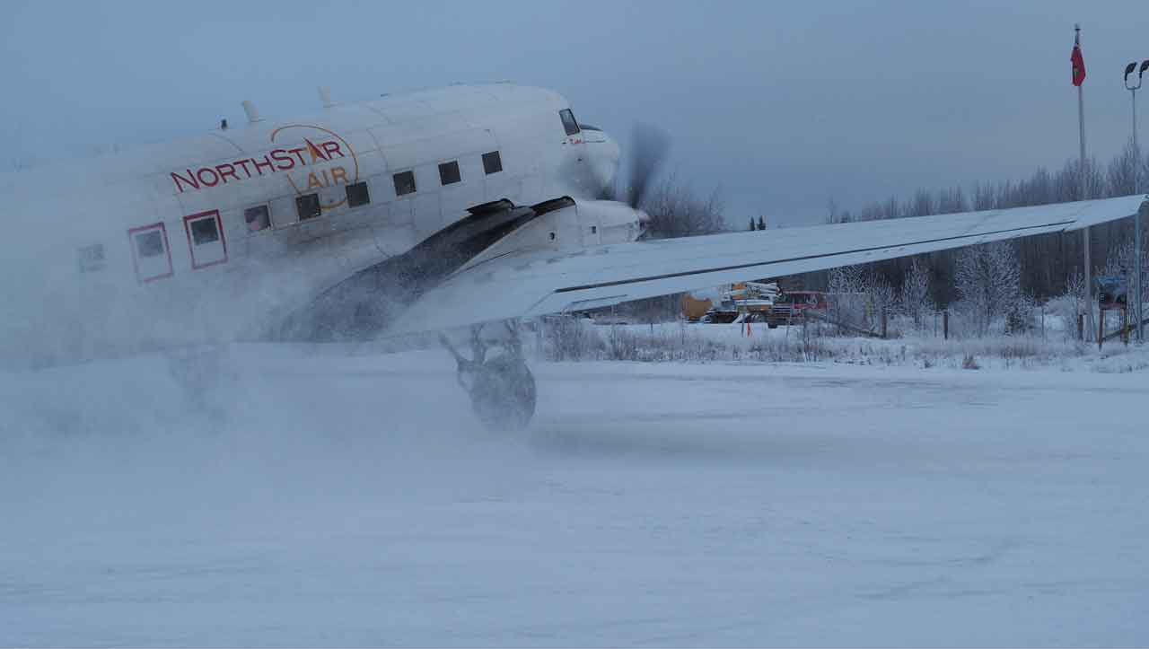
THUNDER BAY, Ont. — Nov. 12, 2026 – Weather – A north flow is keeping flurries and pockets of light snow over remote Northern Ontario Thursday, with the most consequential travel concern in Attawapiskat and along the Ogoki–Lansdowne House corridor. Conditions improve from west to east Friday, then most communities turn sunny Saturday.
Environment and Climate Change Canada showed no active warning banner on the community forecast pages checked for the eight covered communities at issue time. Travellers should still expect locally reduced visibility in snow and wind chills in the minus teens, especially during the morning and overnight hours.
Thursday: Snow east, flurries elsewhere
Kitchenuhmaykoosib Inninuwug will be cloudy with a 40 per cent chance of flurries. Highs near -2 C will feel closer to -12 in the wind; north winds may gust to 40 km/h. Both communities fall to about -4 tonight.
Sandy Lake reaches -3 C with a 30 per cent chance of morning flurries, then drops to -13 tonight with a wind chill near -16. Pikangikum First Nation should move from cloud into a mix of sun and cloud near -1, followed by a clear and sharply colder night. Bearskin Lake First Nation stays mainly cloudy with a chance of flurries near -2, then falls to about -5.
Ogoki Post and Neskantaga First Nation are covered by Environment Canada’s Fort Hope–Lansdowne House–Ogoki forecast. Periods of light snow end in the morning, followed by cloud and a 40 per cent chance of flurries. The high is near -1 C, with north winds gusting to 40 km/h and a wind chill near -9.
Attawapiskat First Nation receives periods of snow, with about two centimetres forecast Thursday and another two centimetres possible Thursday night. The high is 1 C, the temperature holds near zero overnight and north winds gust to 40 km/h. Snow-covered or slushy surfaces may be slippery.
Friday: Cloud gives way from the west
Sandy Lake becomes a mix of sun and cloud after a cloudy start, with a high of -3 C; the morning wind chill may reach -16. Big Trout Lake and Kasabonika stay mainly cloudy near -1, while Bearskin Lake and Pikangikum trend sunnier with highs near -1 to 0. Clear Friday-night lows generally range from -5 to -10.
Ogoki Post and the Lansdowne House substitute for Neskantaga remain cloudy with a 30 per cent chance of flurries and a high near -1. Attawapiskat is milder at 3 C, with a 30 per cent chance of flurries or rain showers, then a low near zero.
Saturday: Sunshine and a modest rebound
Sunshine spreads across the region. Sandy Lake and Pikangikum reach about 3 C; Big Trout Lake, Kasabonika, Bearskin Lake, Ogoki Post and the Neskantaga substitute reach roughly 1 C. Attawapiskat remains cloudy near 3 C. Saturday-night lows range from about -4 to -8, with Attawapiskat clearing and falling near -6.
Wardrobe guidance
Use an insulated, wind-resistant outer layer, warm gloves, a toque and waterproof boots with good traction. In Attawapiskat and the snow corridor, carry dry gloves and socks; wet clothing loses insulation quickly. Reflective trim or a headlamp will help during the short daylight period.
Weather trivia
Wind chill describes the rate at which exposed skin loses heat in cold, moving air. It does not lower the temperature of an inanimate object below the actual air temperature, but it can make frostbite develop faster on exposed skin.