
Thunder Bay – WEATHER – Another day of Extreme Weather Warnings for most of Western Ontario. There are no alerts or warnings in effect for Northern Ontario. The cold spot in Ontario this morning at 05:40 is Armstrong at -32.2 °C or -26.0 °F.
Today should see the Extreme Cold Warnings come to an end, with much more seasonal temperatures across Western Ontario for the next several days.
Thunder Bay Weather Outlook
It is -27°C to start the morning in Thunder Bay headed to a high of -12 °C. Skies are clear this morning with winds of up to 15 km/h. The wind chill is at -32°C this morning, and will be at -15°C by this afternoon.
There is a risk of frostbite this morning for exposed skin. Keep in mind if it is feeling cold for you, it is also feeling cold for your dog, cat or livestock.
For Friday night, expect cloudy skies with a forty per cent chance of snow flurries. The temperature will be rising overnight to -6°C. The wind chill will be -20°C this evening and -11°C overnight.
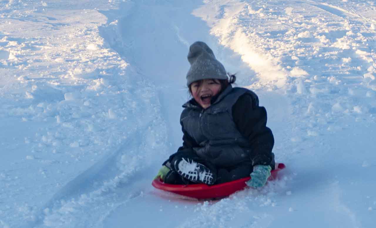
The Weather Service is predicting warmer weather over the next several days once we are into the weekend. Plan out some outdoor fun, sliding at Loch Lomond or Mount Baldy? Some time hiking at Centennial Park? Fresh air helps with “COVID-Fatigue”.
Greenstone Geraldton Weather Outlook
It is -27°C in Geraldton this morning at 05:40 am EST. The morning will start with clear skies. However there will be a mix of sun and cloud this later this morning. Winds will be up to 15 km/h. The daytime high will be -14°C. The wind chill will make it feel more like -33 °C this morning and -17°C this afternoon.
There is a risk of frostbite this morning for exposed skin. Keep in mind if it is feeling cold for you, it is also feeling cold for your dog, cat or livestock.
Tonight will see partly cloudy conditions with fog patches developing late this evening and dissipating overnight. Winds up to 15 km/h. The overnight low if forecast for -24°C. The wind chill will be -19°C this evening and -29°C overnight.
Sachigo Lake Weather Outlook
It is -23°C this morning in Sachigo Lake headed to a daytime high of -15°C under clear skies. Winds will be up to 15 km/h.
The wind chill is -34°C this morning and will be -21°C this afternoon.
Tonight, the forecast is calling for increasing cloudiness early this evening. Winds will be up to 15 km/h. The temperature will remain steady near -16°C with the wind chill near -24°C.
Dryden – Vermilion Bay Weather Outlook
There is an Extreme Cold Warning in effect this morning for the Dryden – Vermilion Bay region. It is currently -24°C at 04:40 am CST with a daytime high of -10°C expected. Today skies will start the day clear. There will be increasing cloudiness late this morning. Winds will become southeast 20 km/h near noon. The wind chill is at -34°C this morning and if forecast for -15°C this afternoon.
Tonight clouds will roll in, and the forecast is for periods of snow beginning before morning. Winds will be southeast 20 km/h becoming light near midnight. The temperature steady near minus 12°C. The wind chill near minus 21°C. That will end the Extreme Cold Warning.
The forecast is for much more moderate temperatures for the next several days.


