
THUNDER BAY -WEATHER – UPDATED – Environment Canada has issued Special Weather Statements for Thunder Bay and areas to the east. Up to ten centimetres of snow are forecast for Thunder Bay, Nipigon, Marathon, and Geraldton.
Some freezing drizzle as well as 5 to locally 10 cm of snow today is in Thunder Bay’s forecast.
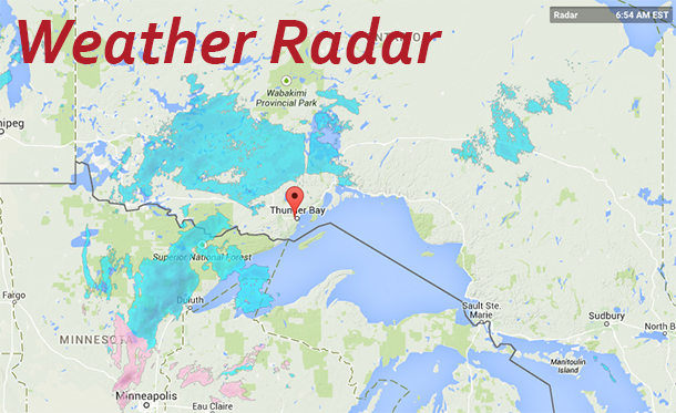
Areas of freezing drizzle are occurring this morning north of Lake Superior in advance of an Alberta clipper approaching from the west. Some snow is forecast to spread across Northern Ontario from west to east as the disturbance tracks into Northwestern Ontario. Areas near and to the north of Lake Superior are expected to receive the most snow, with total snowfall amounts of near 10 cm possible by this evening.
As well snow is also expected in Wawa.
The forecast is for up to 10 cm of snow today.
An Alberta clipper is spreading some snow across Northern Ontario from west to east today. Areas near and to the north of Lake Superior are expected to receive the most snow, with total snowfall amounts of near 10 cm possible by this evening.
Keep up-to-date on the Latest Road Conditions.
| Location | Warning | Watch | Statement |
|---|---|---|---|
| City of Thunder Bay | |||
| Geraldton – Manitouwadge – Hornepayne | |||
| Lake Nipigon – Wabakimi | |||
| Nipigon – Marathon – Superior North | |||
| Superior West | |||
| Wawa – White River – Pukaskwa |
For Air Travellers on Wasaya Airways, the company has issued a travel alert. “Travel Advisory – 17 JAN 2014 – We would like to advise all our guests travelling with us today of possible delays, misconnects, and cancellations due to poor weather forecasted for Northwestern Ontario.”


