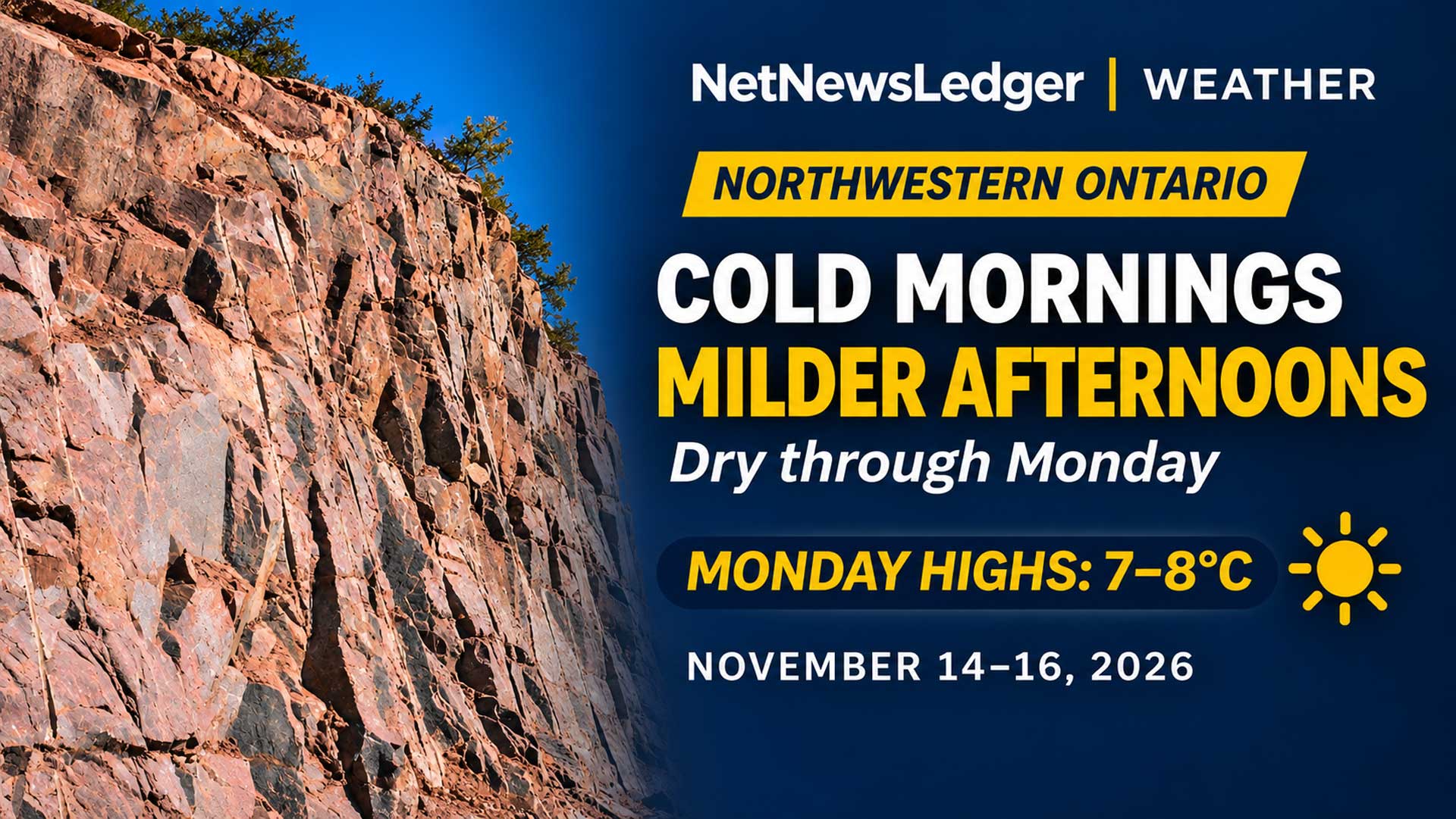
Cold mornings remain the travel concern, but dry roads and highs near 7 C to 8 C are expected by Monday
No alerts, but a cold dawn
THUNDER BAY, Ont. – Saturday, Nov. 14, 2026, 6:11 a.m. EST – Weather Desk – Northwestern Ontario begins the weekend under clear or clearing skies, with no Environment and Climate Change Canada weather alerts in effect at publication time. The dry stretch lasts through Monday as southerly flow gradually brings milder air into the region.
The chief travel issue is the morning cold rather than precipitation. Wind chills are near -12 C to -15 C in many communities today and can return overnight. Sunday brings a south wind near 20 km/h to several western centres, but no significant precipitation is forecast.
Saturday: sunny with highs from 1 C to 4 C
Kenora and Fort Frances are sunny with highs near 4 C. Red Lake also reaches 4 C. Dryden, Ignace and Sioux Lookout top out near 3 C, while Armstrong and Nipigon reach about 2 C. Greenstone, represented by the Geraldton-Longlac-Caramat forecast region, stays mainly cloudy for part of the day and reaches about 1 C.
Tonight is clear across the region. Lows range from about -5 C in Red Lake and Dryden to -11 C in Armstrong. Kenora and Fort Frances fall to about -6 C, Sioux Lookout to -7 C, Nipigon to -8 C, Greenstone to -9 C and Ignace to -6 C.
Sunday: a south wind joins the sunshine
Kenora is mainly sunny near 7 C, with a south wind developing near 20 km/h. Fort Frances, Dryden, Ignace, Sioux Lookout and Armstrong reach about 6 C under sunny skies. Red Lake reaches about 5 C.
Nipigon and Greenstone are cooler at about 4 C, but skies clear or remain sunny. Morning wind chills still range from about -9 C in the west to -16 C at Armstrong before temperatures rise.
Monday: widespread 7 C to 8 C highs
Kenora, Red Lake and Fort Frances reach about 8 C. Dryden, Ignace and Sioux Lookout rise to about 7 C. Greenstone and Nipigon also reach near 8 C, while Armstrong is near 7 C.
Conditions are sunny in the west and become a mix of sun and cloud farther east. The temperature swing from cold morning wind chills to mild afternoons may soften exposed snow and create refreezing where meltwater remains after sunset.
Wardrobe
Wear a warm coat, toque and gloves for the morning commute, then use a lighter removable layer for the afternoon. Choose footwear with grip for shaded or untreated surfaces that may stay icy even when the air temperature rises above freezing.
Weather trivia
Wind chill describes how quickly exposed skin loses heat in cold, moving air. It is not the temperature of vehicles or buildings, but it is a useful guide to frostbite risk and how the cold feels to people.