Northwestern Ontario Weather: Rain, Wet Snow and a Midweek Break
Tuesday, October 13, 2026
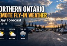
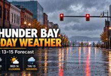
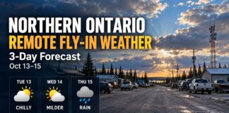
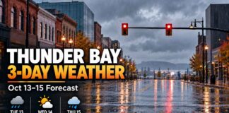
Thunder Bay – Weather Desk – Northwestern Ontario is starting Tuesday under cool, damp weather. Rain will taper in many western communities this morning, while parts of the north may briefly see wet snow mixed with rain. Most areas get a quieter Wednesday before clouds and another chance of showers return Thursday.
Weather at a Glance
- Tuesday: Rain, drizzle or showers for much of the region. Wet snow may mix in around Sioux Lookout, Red Lake and Pickle Lake. Highs from 4 C to 10 C.
- Wednesday: Mainly cloudy at first, with clearing in several western districts. Highs from 8 C to 12 C. Overnight lows near or just below freezing in some communities.
- Thursday: Cloudy with a 40 per cent chance of showers across much of the region. Highs from 7 C to 11 C. Shower chances rise Thursday night in several districts.
Kenora and Lake of the Woods
Tuesday: Periods of rain end this morning. It will remain cloudy with a 60 per cent chance of showers or drizzle. The high will reach 9 C. A 40 per cent chance of showers or drizzle continues Tuesday night, with a low of 5 C.
Wednesday: Cloudy, with a 30 per cent chance of showers or drizzle in the morning. The high will be 12 C. Skies clear Wednesday night, with a low of 3 C.
Thursday: Cloudy with a 40 per cent chance of showers and a high of 10 C. The chance of showers rises to 70 per cent Thursday night, with a low of 3 C.
Lake of the Woods: Cold water remains the main boating hazard. Wear a life-jacket, carry reliable communications and check the latest marine conditions before leaving shore. Patchy rain or drizzle can reduce visibility even when winds are not severe.
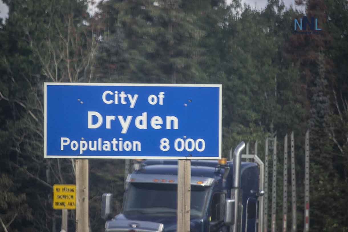
Dryden and Vermilion Bay
Tuesday: Periods of rain end this morning, followed by cloud and a 60 per cent chance of showers or drizzle. The high will be 7 C. Tuesday night stays cloudy with a 40 per cent chance of showers or drizzle and a low of 4 C.
Wednesday: Cloudy with a 30 per cent chance of showers or drizzle in the morning, then clearing. The high will reach 11 C. The overnight low will be near 0 C.
Thursday: Cloudy with a 40 per cent chance of showers and a high of 9 C. The chance of showers rises to 70 per cent Thursday night, with a low of 2 C.
Drivers on Highway 17 should expect wet pavement Tuesday morning. Temperatures close to freezing Wednesday night could produce isolated frost on bridges, shaded roads and untreated surfaces.
Sioux Lookout and Savant Lake
Tuesday: Periods of rain mixed with snow end near noon, then cloudy skies continue with a 60 per cent chance of rain showers. The high will be 6 C. Tuesday night brings a 40 per cent chance of showers or drizzle, with a west wind near 20 km/h easing overnight and a low of 3 C.
Wednesday: Cloudy with a 30 per cent chance of morning showers or drizzle. A northwest wind near 20 km/h becomes light around noon. The high will be 11 C. The overnight low will fall to 0 C under clear skies.
Thursday: Cloudy with a 40 per cent chance of showers and a high of 8 C. Thursday night remains cloudy with a 60 per cent chance of showers and a low of 2 C.
Wet snow may briefly make exposed stretches of Highway 72 and Highway 599 slick. Allow more stopping distance and slow down before curves, bridges and railway crossings.
Red Lake and Ear Falls
Tuesday: Periods of rain mixed with snow end near noon. Cloudy skies follow, with a 60 per cent chance of rain showers and a high of 7 C. Tuesday night brings a 40 per cent chance of showers or drizzle. A west wind near 20 km/h develops late in the evening. The low will be 2 C.
Wednesday: Cloudy with a 30 per cent chance of showers or drizzle in the morning. The high will be 11 C. Skies clear Wednesday night, with a low of 1 C.
Thursday: Cloudy with a 40 per cent chance of showers and a high of 8 C. The chance of showers rises to 60 per cent Thursday night, with a low of 1 C.
Outdoor crews should plan for damp, cold conditions Tuesday. Drivers should watch for slush or reduced grip where wet snow briefly collects on untreated roads.
Fort Frances, Emo and Rainy River
Tuesday: Periods of rain end this morning, followed by cloud and a 60 per cent chance of showers or drizzle. The high will reach 10 C. Tuesday night remains cloudy with a 40 per cent chance of showers or drizzle and a low of 5 C.
Wednesday: Cloudy with a 30 per cent chance of morning showers or drizzle. The high will be 11 C. Wednesday night stays cloudy, with a low near 0 C.
Thursday: Cloudy with a 40 per cent chance of showers and a high of 11 C. The chance of showers rises to 70 per cent Thursday night, with a low of 5 C.
Wet roads are the main concern Tuesday. Families travelling between Fort Frances, Emo and Rainy River should also be ready for patchy drizzle and changing visibility.
Atikokan and Quetico
Tuesday: Rain becomes mixed with drizzle this morning and ends near noon. Cloudy skies continue with a 60 per cent chance of showers or drizzle. The high will be 8 C. Tuesday night has a 40 per cent chance of showers or drizzle and a low of 4 C.
Wednesday: Cloudy with a 30 per cent chance of showers or drizzle through early afternoon. The high will be 11 C. Skies clear Wednesday night and the temperature falls to -1 C.
Thursday: Cloudy with a 40 per cent chance of showers and a high of 9 C. Thursday night brings a 70 per cent chance of showers and a low of 2 C.
Campers, hunters and paddlers should prepare for cold rain and an overnight freeze Wednesday. Cold water and limited daylight increase the consequences of a fall or delayed return.
Pickle Lake
Tuesday: Cloudy. A 30 per cent chance of flurries or rain showers changes to a 70 per cent chance of rain near noon. The high will be 4 C. Tuesday night remains mainly cloudy, with rain easing to scattered showers. A west wind near 20 km/h develops after midnight, with the temperature steady near 4 C.
Wednesday: Mainly cloudy with a 30 per cent chance of morning showers, then clearing late in the afternoon. West winds near 20 km/h are expected. The high will be 8 C. The overnight low will be 1 C.
Thursday: Cloudy with a 40 per cent chance of showers and a high of 7 C. Thursday night brings a 60 per cent chance of rain showers or flurries and a low of -2 C.
Pickle Lake has the highest early-season snow risk in this forecast. Travellers and outdoor workers should carry warm layers and allow extra time, especially on remote roads.
School Bus Cancellations: Driver Shortage, Not Weather
The Northwestern Ontario Student Services Consortium posted the following service cancellations for Tuesday, October 13:
- KN42 and KN92: Cancelled for the full day because of a driver shortage.
- KN27: Running in the morning but cancelled in the afternoon because of a driver shortage.
These are operational cancellations and are not weather-related. No weather-related route cancellation was listed during the early-morning check. Families should refresh the consortium’s Current Alerts page before the school run because notices can be added without warning.
Travel and Outdoor Safety
- Slow down on wet or slushy roads and leave extra space behind other vehicles.
- Watch for isolated frost Wednesday night, especially around Dryden, Vermilion Bay, Sioux Lookout, Atikokan and nearby rural areas.
- Use headlights in rain, drizzle and low cloud.
- Check Ontario 511 before a long trip. Conditions on Highways 11, 17, 71, 72 and 105 can vary widely over short distances.
- Boaters should wear a life-jacket and treat cold water as a serious hazard even on smaller lakes.
- Outdoor workers should use waterproof layers and take warm-up breaks. Wet clothing can lead to rapid heat loss in single-digit temperatures.
Weather Alerts
No active Environment and Climate Change Canada alert was listed early Tuesday for Kenora, Dryden, Sioux Lookout, Red Lake, Fort Frances, Atikokan or Pickle Lake. Readers should continue to monitor the official alert page because warnings and statements may be issued or ended at any time.