Thunder Bay Weather Forecast for October 13–15, 2026: Rainy Tuesday, Cooler Nights and a Midweek Break in the Showers
Tuesday, October 13, 2026 | NetNewsLedger Weather Desk | Thunder Bay, Ontario
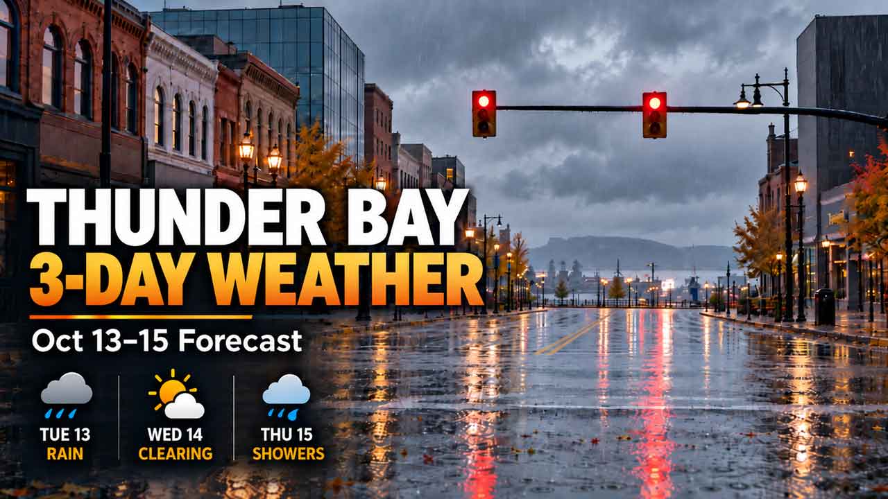
THUNDER BAY, ON – A damp and chilly start to Tuesday will give way to improving conditions across Thunder Bay over the next three days. Residents can expect periods of rain and drizzle today, a mainly cloudy but milder Wednesday, and the return of unsettled weather on Thursday.
The forecast at 5:00am said there was mist. That might be at the Airport, but in the Waterfront District it was a steady rain. Your umbrella or rain coat will be a needed must today.
The biggest weather concern through midweek will be Wednesday night’s drop below freezing, followed by another chance of showers Thursday. With daytime temperatures hovering around 10°C to 12°C, autumn has firmly established itself along the north shore of Lake Superior.
Today’s Weather Overview – Tuesday, October 13
Current Conditions: A Wet and Chilly Morning
At 4:00 a.m. EDT, Environment Canada reported light rain at Thunder Bay Airport, with the temperature sitting at 4.7°C. A northeast wind was adding to the chilly feel, while high humidity reflected the damp weather covering the city.
Today’s Forecast: Rain and Drizzle Ending Near Noon
Tuesday will begin on a wet note, with periods of rain mixed with drizzle expected to continue through the morning.
Environment Canada forecasts the more persistent precipitation to end around noon. However, clouds will remain over Thunder Bay, with a 30 percent chance of additional showers or drizzle during the afternoon.
The daytime high will reach 10°C, slightly below the seasonal normal of 11°C for this time of year.
The UV index is forecast to be just 1, or low, reflecting the extensive cloud cover.
For residents heading to work, school or appointments, wet pavement and reduced comfort in the cool morning air will make waterproof outerwear particularly useful.
Tuesday Night
Cloudy skies will continue into the evening, with a 30 percent chance of showers or drizzle. Temperatures will fall to an overnight low of 4°C.
Tomorrow’s Forecast – Wednesday, October 14
Expected Conditions: A Milder Day Before a Frosty Night
Wednesday will bring a welcome break from the damp conditions that have marked the start of the week.
Environment Canada is forecasting cloudy skies with a daytime high of 12°C, making Wednesday the warmest of the three days covered in this outlook.
Although widespread sunshine is not included in the official daytime forecast, the absence of significant precipitation should provide better conditions for outdoor work, walking, and travel across the city.
Wednesday Night: Temperatures Dip Below Freezing
The most significant temperature change will arrive Wednesday night, when skies are expected to clear and the mercury falls to -1°C.
This will create the potential for frost, particularly in exposed and low-lying locations.
Gardeners with remaining sensitive plants outdoors should consider protecting them. Drivers parking outside overnight may also encounter frost on their windshields Thursday morning.
Thursday’s Forecast – October 15
Expected Conditions: Clouds Return With a Chance of Showers
Thursday will mark a return to unsettled autumn conditions.
Environment Canada forecasts cloudy skies with a 40 percent chance of showers and a daytime high of 10°C.
The combination of cooler temperatures and damp conditions may make outdoor activities less comfortable, especially for those working outside for extended periods.
Thursday Night: Increasing Chance of Rain
Cloud cover will continue through Thursday evening, with the probability of showers increasing to 60 percent overnight.
The temperature is expected to remain considerably milder than Wednesday night, with a low of 5°C.
Residents planning evening travel or outdoor activities should keep rain gear readily available.
The current forecast does not specify strong winds for the three-day period. Wind speeds and directions may change as updated forecasts become available.
Wardrobe Recommendations: Dress for Cool Mornings and Changing Conditions
Thunder Bay residents should plan for the combination of rain, autumn chill, and considerable variations between daytime and nighttime temperatures.
-
Tuesday: Wear a waterproof jacket, closed-toe water-resistant footwear, and warm layers. An umbrella may be useful during the morning rain.
-
Wednesday: A medium-weight autumn jacket, sweater, and comfortable walking shoes should be suitable during the day. Add a warmer layer for the evening as temperatures approach freezing.
-
Thursday: Keep a raincoat or compact umbrella handy. Layered clothing will provide flexibility as the temperature climbs toward 10°C.
For children walking to school and residents heading out early, gloves and a warmer jacket may be welcome, particularly Thursday morning following Wednesday night’s freezing temperatures.
Weather Trivia: Why Lake Superior Matters to Thunder Bay’s Autumn Weather

Thunder Bay’s location on Lake Superior has a significant influence on its seasonal weather.
During autumn, Lake Superior retains heat long after surrounding land areas begin cooling. This can moderate temperatures close to the shoreline, while communities farther inland may experience colder overnight conditions.
The lake can also contribute moisture to the atmosphere, helping produce cloud cover and precipitation when colder air moves across its relatively warmer waters.
This is one reason temperatures and weather conditions can differ between Thunder Bay’s waterfront, the airport, and surrounding inland communities.
Looking Ahead
Thunder Bay’s weather over the next three days will be typical of mid-October in Northwestern Ontario: damp mornings, cool afternoons, and an increasing risk of overnight frost.
Tuesday’s rain should gradually ease, Wednesday offers the best opportunity for drier outdoor activities, and Thursday will bring another chance of showers.
The sharpest overnight chill is expected Wednesday night, with temperatures falling to -1°C.
Residents should monitor updated forecasts, especially if travelling along Highways 11 and 17 or planning activities sensitive to rain and frost.