
September 10-12, 2026: Thunder Bay Forecast — Sunny Thursday, Warmer Friday, Showers Saturday as Lake Superior Winds Build
THUNDER BAY – WEATHER – Thursday, September 10, 2026 – Thunder Bay gets a welcome weather break Thursday with sunshine and a high in the low 20s. Friday turns warmer but brings a growing shower risk, while Saturday remains mild with scattered showers.
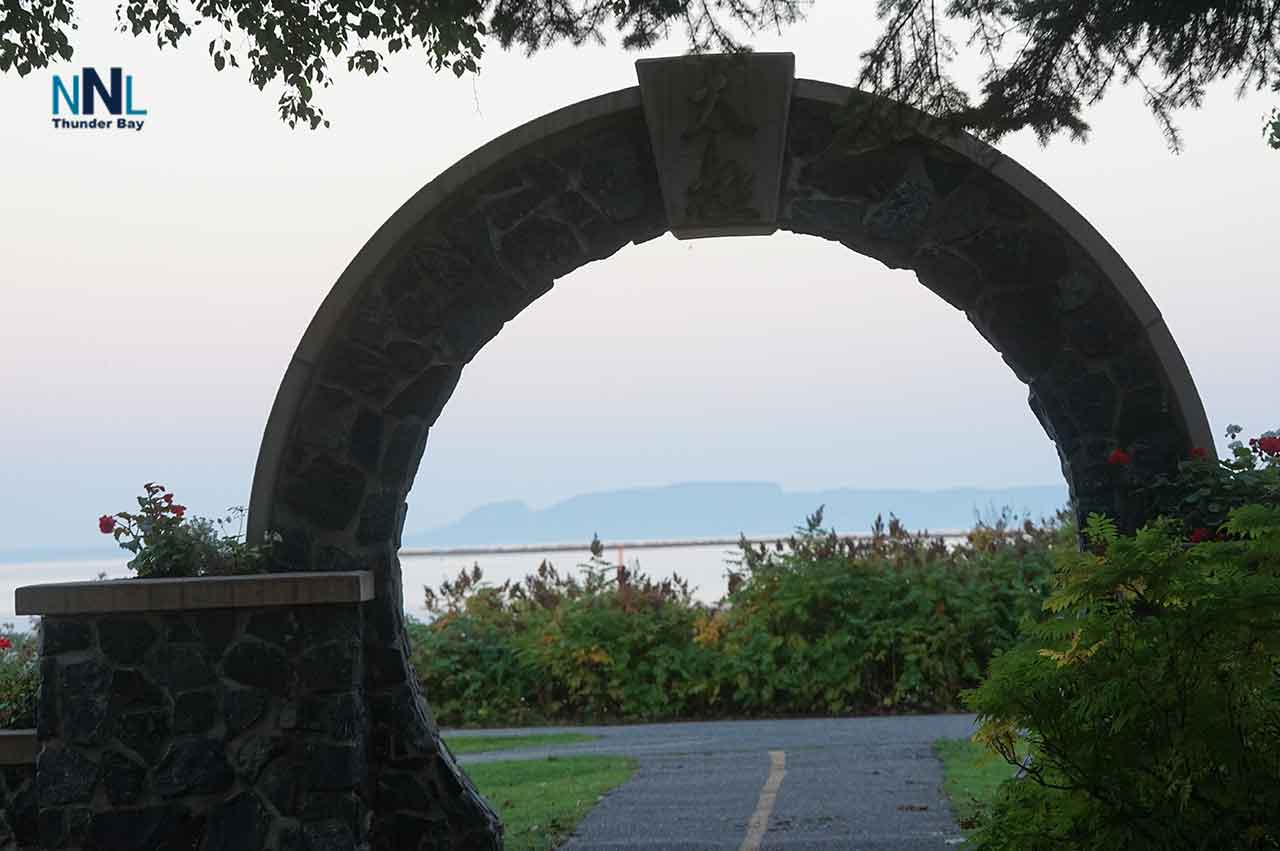
It is a 7°C a little brisk this morning for walking or cycling. It will warm up today.
On Western Lake Superior, conditions improve substantially Thursday as winds and waves ease. The quieter weather does not last: southerly winds strengthen Friday and remain strong Saturday.
Environment Canada’s latest marine bulletin available during this check carries a Strong Wind Warning for Western Lake Superior.
Today’s Weather Overview
Current Conditions
At 3:00 a.m. EDT Thursday, Thunder Bay Airport reported partly cloudy skies and 10.6°C.
Humidity was 99 percent, pressure was 101.3 kPa and rising, west-southwest winds were 9 km/h, and visibility was 24 kilometres.
Thursday, September 10
Expect sunshine becoming a mix of sun and cloud near noon.
The high reaches 22°C, with a moderate UV index of 5.
Thursday night will be clear, with a low of 12°C.
For outdoor plans, Thursday is clearly the strongest day of the three.
Friday, September 11
Friday becomes warmer and somewhat less settled.
Expect a mix of sun and cloud with a 40 percent chance of showers. The high reaches 24°C.
Friday night turns cloudy with a 60 percent chance of showers and a low of 13°C.
With Thunder Bay’s normal early-September high around 18°C, Friday will be notably warmer than seasonal values.
Saturday, September 12
Saturday remains mild but unsettled.
Environment Canada forecasts a mix of sun and cloud with a 40 percent chance of showers and a high of 21°C.
Saturday night brings cloudy periods, a 30 percent chance of showers and a much cooler low of 6°C.
Western Lake Superior Marine Conditions
Strong Wind Warning
The latest Environment Canada marine bulletin available during this check, issued Wednesday evening, carries a Strong Wind Warning for Western Lake Superior.
Environment Canada defines strong winds in this marine category as 20 to 33 knots. Boaters should check the latest warning status before leaving harbour, since marine warnings can be updated or ended quickly.
Thursday — Conditions Improve
Northwest winds ease to around 15 knots — 28 km/h — early Thursday, then diminish to southwest 10 knots — 19 km/h — around noon.
Southwest winds increase again to 15 knots — 28 km/h — Thursday evening.
Waves fall to around 1 metre Thursday morning, then subside to 0.5 metres or less during the afternoon.
That makes Thursday afternoon the most favourable marine window of the three-day period.
Friday — Southerly Winds Strengthen
Friday begins with south winds around 15 knots — 28 km/h.
They increase to 25 knots — about 46 km/h — late in the day.
Small-craft operators should be particularly cautious Friday afternoon and evening as the southerly flow strengthens.
Saturday — Strong Winds Continue
Saturday remains windy, with south winds near 25 knots — 46 km/h — veering to west 25 knots.
Environment Canada had not yet provided a detailed Saturday wave forecast in the bulletin available during this check, so boaters should review the updated marine forecast before departure.
Boating Outlook
Thursday: Best marine conditions, particularly during the afternoon as waves drop to half a metre or less.
Friday: Increasingly rough later in the day as south winds rise to 25 knots.
Saturday: Windy again, with 25-knot south winds shifting west.
Smaller boats, paddlers and anglers should avoid relying only on the city forecast. Conditions on open Lake Superior can be substantially rougher than conditions along the Thunder Bay waterfront.
Travel and Outdoor Outlook
Thursday is excellent for walking, cycling, yard work and other outdoor plans.
Friday remains warm, but keep rain gear nearby.
Saturday is still mild, although passing showers could interrupt outdoor activities.
Drivers heading outside the city should check 511.on.ca for current highway conditions, construction and incidents.
Wardrobe Recommendations
Thursday is comfortable for lighter daytime clothing, although the morning starts cool.
Friday will feel warm for September, but carry a light rain jacket.
Saturday calls for another waterproof layer, and a sweater or light jacket will be useful by evening as temperatures fall toward 6°C.
Anyone heading onto Lake Superior should dress for cooler, windier conditions than those experienced inland.
Weather Trivia
Thunder Bay’s normal high for this point in September is about 18°C, with a normal low around 6°C.
Friday’s forecast high of 24°C is roughly six degrees above normal, while Saturday night’s low of 6°C lands almost exactly on the seasonal average.
Sources: Environment and Climate Change Canada Thunder Bay forecast and Western Lake Superior marine forecast available Thursday morning, September 10, 2026. Marine conditions and warning status should be checked again immediately before departure.
Overview
Thunder Bay weather for September 10-12, 2026: Sunny and 22°C Thursday, warmer with showers Friday, and mild with scattered showers Saturday. Western Lake Superior winds ease Thursday before strengthening to 25 knots Friday and Saturday.