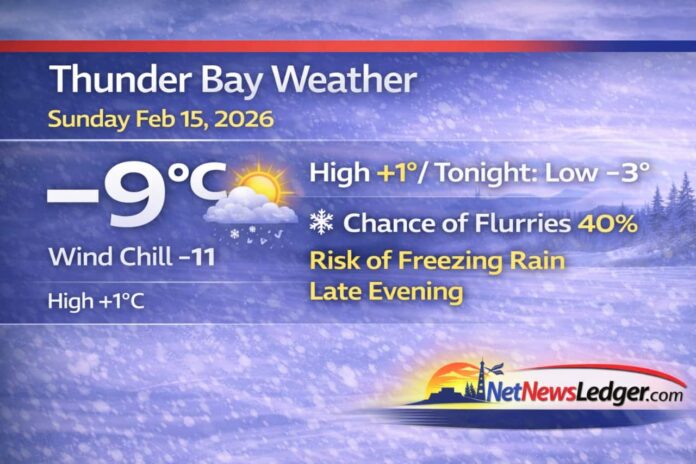
Thunder Bay is starting Sunday with a damp late-winter feel: fog patches are lifting this morning, and temperatures are on track to climb above freezing this afternoon. That warm-up comes with a catch—a risk of freezing rain late tonight and after midnight, along with flurries. If you’re out this evening, plan for the possibility of slick sidewalks and icy spots developing fast.
Today’s Weather Overview
Current Conditions
At 8:00 AM EST, conditions in Thunder Bay are partly cloudy:
-
Temperature: -8.9°C
-
Wind: NW 4 km/h
-
Wind Chill: -11
-
Humidity: 96%
-
Dew Point: -9.4°C
-
Pressure: 101.4 kPa, rising
-
Visibility: 32 km
That very high humidity is a big reason for the morning fog, and it’s also a hint that surfaces can get damp—and then slippery—when temperatures hover near the freezing mark.
Today
Environment Canada’s forecast calls for a mix of sun and cloud, with fog patches dissipating this morning. Winds stay light (up to 15 km/h).
-
High: +1°C
-
Wind Chill: near -10 this morning
-
UV Index: 1 (low)
By mid-to-late afternoon, expect melting on sunny surfaces and wet patches where snowbanks are draining.
Expected Conditions
Tonight (Sunday night)
Cloud increases with a 40% chance of flurries late this evening and overnight, and an important note: risk of freezing rain late this evening and after midnight.
-
Low: -3°C
-
Wind Chill: about -7 overnight
If freezing rain develops, even briefly, untreated sidewalks, stairs, and side streets can become treacherous.
Monday, February 16
A brighter, milder day follows.
-
Clearing in the morning
-
High: +3°C
-
Night: Clear, low -11°C
That Monday night drop means anything wet on pavement during the day may refreeze hard after dark.
Tuesday, February 17
More sunshine, still mild for mid-February.
-
Sunny
-
High: +2°C
-
Night: Cloudy, low -3°C
Looking a little farther out, periods of snow are indicated for Wednesday, keeping the week active.
Wardrobe Recommendations
Today is “winter layers with a spring jacket mindset”:
-
Morning: warm coat, toque, and mitts (it’s still below -8°C early).
-
Afternoon: you can ease a layer, but keep something wind-resistant.
-
Tonight: plan for the freezing-rain risk—boots with solid traction are a must.
Driver tip: this is prime time for slush and road spray—top up winter windshield washer fluid and keep the washer nozzles clear.
Weather Trivia
Freezing rain happens when snow melts into rain aloft, then falls through a shallow layer of below-zero air near the ground. The drops can become supercooled—still liquid—until they hit pavement, railings, or tree branches, where they freeze on contact. That’s why a small amount can cause big problems.
Summary
Thunder Bay weather for Sunday, February 15, 2026: fog patches dissipate this morning with a mix of sun and cloud and a high of +1°C. Tonight brings a 40% chance of flurries and a risk of freezing rain late evening and after midnight, low -3°C. Clearing Monday with a high of +3°C, then sunny Tuesday near +2°C.


