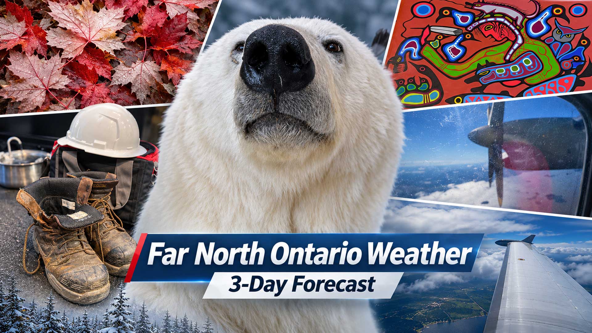
Three-day forecast for remote First Nations and Northern Ontario communities, November 19–21, 2026
NetNewsLedger Weather Desk | Thursday, November 19, 2026 | Morning Edition
THUNDER BAY, ON — Winter weather is tightening its grip on Ontario’s Far North, with freezing drizzle, rain changing to snow and falling temperatures expected across remote First Nations over the next three days.
The most immediate concern Thursday is freezing precipitation in communities such as Sachigo Lake, Bearskin Lake, Kasabonika Lake and Fort Severn. Farther south, Sandy Lake and Webequie are dealing with temperatures hovering around freezing, with snow and mixed precipitation forecast.
Friday will offer a brief break from heavier precipitation in some communities before another weather system brings snow Saturday.
Along the Hudson Bay and James Bay coasts, temperatures will fall below freezing, with a growing risk of snow, gusty winds and difficult travel conditions.
For families and businesses depending on air transportation, changing visibility and icing conditions are particularly important. Weather can affect passenger flights, medical travel, grocery deliveries and freight service.
Far North Three-Day Weather Overview
Thu, Nov. 19
Mixed precipitation
Freezing drizzle risk
Fri, Nov. 20
Cloudy and colder
Snow developing overnight
Sat, Nov. 21
Snow and wind
Colder by Saturday night
Regional Three-Day Temperatures
Forecast daytime highs in degrees Celsius. Individual communities may experience different precipitation and temperatures.
| Community | Thu. Nov. 19 | Fri. Nov. 20 | Sat. Nov. 21 |
|---|---|---|---|
| Sandy Lake | 0°C | 1°C | -2°C |
| Sachigo Lake | 1°C | 0°C | -4°C |
| Webequie | 2°C | 0°C | -1°C |
| Attawapiskat | 5°C | 0°C | 3°C |
| Fort Severn | 0°C | -8°C | -9°C |
Temperatures reflect available November 19 morning forecasts. Environment Canada’s official bulletins may differ slightly from other regional forecasting services.
Sandy Lake, Deer Lake and North Caribou Lake (Weagamow)
Thursday — Snow and Rain Give Way to Cloudy Skies
Sandy Lake began Thursday morning near -3°C, with light sleet reported.
The forecast calls for flurries early in the day, followed by cloudy skies and temperatures rising to around 0°C.
Environment Canada’s regional forecast also indicates rain ending during the afternoon, with a chance of drizzle or flurries afterward.
Thursday night will remain cloudy, with temperatures near -3°C.
Friday — Cloudy with Snow Arriving Overnight
Friday should remain mainly cloudy, with a high near 1°C.
The daytime precipitation risk is relatively low, but snow is expected to develop Friday night as another weather system approaches.
Saturday — Snow and Falling Temperatures
Saturday will bring snow and flurries, with a forecast high near -2°C.
Some forecasting guidance indicates accumulations of approximately 2–4 centimetres, although amounts remain subject to change.
Temperatures will fall sharply Saturday evening, with lows approaching -13°C.
Travel concern: Aircraft operators and residents should monitor the changing conditions Friday night and Saturday. Snow and colder temperatures could affect visibility and ground conditions.
Sachigo Lake and Bearskin Lake First Nations
Thursday — Freezing Drizzle Risk
The Sachigo Lake–Bearskin Lake region faces one of the more concerning weather combinations Thursday.
Environment Canada’s updated forecast indicates cloudy skies with a 60 per cent chance of snow and a risk of freezing drizzle.
North winds will increase to approximately 20 km/h, while temperatures fall toward -2°C during the afternoon.
Wind chill values could approach -5.
Freezing drizzle can create a thin layer of ice on walkways, vehicles and aircraft surfaces, even when there is little visible snowfall.
Friday — Mixed Winter Precipitation Possible
Friday will remain cloudy with temperatures around 0°C.
Forecast guidance suggests snow, sleet and freezing precipitation are possible, particularly during the morning.
Friday night will bring an increasing chance of snow.
Saturday — Snow and Colder Weather
Saturday will be colder, with a high near -4°C.
Periods of snow and flurries are forecast, with light accumulations possible.
Temperatures will fall toward -13°C Saturday night.
The falling temperatures will make outdoor work and travel more challenging, particularly for residents waiting for flights or handling freight outdoors.
Kitchenuhmaykoosib Inninuwug (Big Trout Lake) and Kasabonika Lake
Thursday — Snow and Freezing Drizzle
Conditions will remain wintry in the Big Trout Lake–Kasabonika forecast region.
Environment Canada’s early Thursday update calls for cloudy skies with a 60 per cent chance of light snow and a risk of freezing drizzle during the afternoon.
North winds near 30 km/h are expected, with a high around 0°C before temperatures fall toward -1°C.
Morning wind chill values could approach -8.
Friday — Cloudy with Flurries
Friday will remain cloudy, with occasional flurries possible and temperatures close to freezing.
Snow is expected to become more likely Friday night.
Saturday — More Snow, Followed by Sharp Cooling
Snow is forecast Saturday as another weather system crosses the region.
Temperatures will remain close to freezing during the day before falling substantially Saturday night. The broader Big Trout Lake–Sachigo Lake outlook indicates lows reaching approximately -15°C.
Webequie First Nation
Thursday — Rain Changing to Snow
Webequie started Thursday with flurries and temperatures near freezing.
Rain is expected to mix with snow through the day, with a high near 2°C.
Wet snow could accumulate, although the exact amount remains uncertain. Temperatures will fall to around -3°C overnight.
Friday — Cloudy and Near Freezing
Friday will bring mainly cloudy skies and a high near 0°C.
Flurries are possible, with snow becoming more likely Friday night.
Saturday — Snow and Falling Temperatures
Saturday will be cloudy and breezy, with snow possible during the morning and again later in the day.
The high should reach approximately -1°C, with temperatures falling to around -10°C overnight.
Eabametoong (Fort Hope), Neskantaga and Marten Falls
The Fort Hope–Webequie forecast region provides guidance for these communities, although local conditions can differ.
Thursday will bring unsettled weather, with rain and snow possible and temperatures close to freezing.
Friday is expected to be cloudy, with a 30 per cent chance of flurries and a high near 3°C.
Snow is expected Friday night.
Saturday will bring snow or rain, with a forecast high near 2°C. Temperatures could fall to -12°C Saturday night.
These are regional forecast values rather than independently measured conditions in each First Nation.
Attawapiskat First Nation — James Bay Coast
Thursday: Rain and drizzle, high 5°C.
Friday: Cloud and sunshine, high 0°C.
Saturday: Snow or mixed precipitation, high 2–3°C.
Thursday will be wet, with periods of rain and drizzle through much of the day.
As temperatures fall during the late afternoon and evening, precipitation may mix with snow.
Friday will offer some improvement, with intervals of cloud and sunshine and temperatures near freezing.
Saturday will bring another round of unsettled weather, with snow or rain possible.
The overnight low Saturday could fall to approximately -6°C to -8°C.
Residents should prepare for a significant temperature change between the relatively mild Thursday weather and the colder conditions expected by Sunday.
Fort Albany First Nation, Kashechewan and Moosonee
The southern James Bay coast will remain milder than communities farther north for much of the forecast period.
Thursday will bring cloudy skies with periods of rain or showers.
Friday should remain cloudy, with temperatures near 3°C.
Saturday will bring another opportunity for rain showers or flurries. The regional forecast indicates temperatures could reach approximately 7°C.
Saturday night will become colder, with periods of rain or snow and temperatures falling to approximately -2°C.
Kashechewan residents should use the nearby Fort Albany–Moosonee forecast as regional guidance while checking local conditions separately.
Fort Severn — Wasaho Cree Nation
Fort Severn is expected to experience some of the coldest weather in Ontario’s Far North.
Thursday — Freezing Drizzle Concern
Thursday will be cloudy, with a high near 0°C.
Environment Canada identifies a risk of freezing drizzle during the morning and afternoon, along with a 30 per cent chance of flurries or drizzle.
Northwest winds could reach 30 km/h later in the afternoon.
Thursday night will be colder, reaching approximately -5°C, with overnight wind chill values near -10.
Friday — Cold and Cloudy
Friday will bring cloudy skies and a chance of flurries.
Environment Canada’s forecast places temperatures well below freezing, with a high near -8°C.
Friday night will remain cold, with flurries possible.
Saturday — Snow and Continued Cold
Saturday will be cloudy, with periods of snow possible. Forecast guidance indicates a daytime high around -9°C.
Several centimetres of snow are possible according to one forecasting service, but the amount has not been confirmed by Environment Canada.
Saturday night temperatures could fall to approximately -12°C to -15°C.
Peawanuck — Weenusk First Nation
Thursday’s forecast calls for cloudy skies with a chance of flurries or drizzle and temperatures close to 0°C.
There is also a risk of freezing drizzle, particularly during the morning and afternoon.
Friday will bring colder conditions, with a high near -7°C and a 30 per cent chance of flurries.
Saturday will bring periods of snow and a high near -5°C.
Saturday night temperatures are expected to fall to approximately -12°C.
These conditions will make proper winter clothing and preparation especially important for residents working outdoors or travelling to the community airport.
Northern Aviation and Travel Outlook
Thursday — Freezing precipitation and low visibility
Freezing drizzle, fog, rain and snow may create challenges for aircraft operations in parts of the Far North. Travellers should confirm flight schedules with their airlines before leaving for the airport.
Friday — Changing conditions
Some communities will experience improving weather, but snow may develop overnight ahead of Saturday’s system.
Snow, stronger winds and much colder overnight temperatures could complicate travel and outdoor activities.
No specific airline cancellation, airport closure or flight suspension has been verified in this report.
Residents should check directly with carriers, including North Star Air and Wasaya Airways, for current operating information.
Winter Roads and Ice Safety
Although freezing temperatures have returned to several northern communities, the region is still moving through the early winter season.
Residents should not assume that lakes, rivers or winter-road corridors are safe simply because temperatures have dropped below freezing.
Recent rain, fluctuating temperatures and moving water can make ice thickness unpredictable.
What to Wear: Winter Clothing Is Essential
A waterproof outer layer is useful where rain or freezing drizzle is expected, but insulated winter clothing will become increasingly important through Saturday.
Warm gloves, winter hats and proper insulated boots are advisable, especially for residents waiting for aircraft or travelling between buildings.
For children heading to school, the combination of wet snow and colder afternoon temperatures makes spare dry gloves and socks especially useful.
Weather Trivia: Why Freezing Drizzle Is Dangerous
Freezing drizzle forms when tiny liquid water droplets remain below freezing without turning into ice.
When those droplets land on a surface at or below 0°C, they can freeze almost immediately.
Unlike heavier snowfall, freezing drizzle may leave only a thin, transparent coating of ice.
That makes it particularly dangerous on walkways, steps, vehicles and airport operating surfaces.
Looking Ahead: A Colder Sunday Across the Far North
Following Saturday’s snow, much colder air is expected across Northern Ontario.
Sunday temperatures could fall to approximately -13°C in Sandy Lake, -11°C around Sachigo Lake and -9°C in Webequie.
Fort Severn and Peawanuck will also remain well below freezing, with additional flurries possible.
The colder pattern is expected to continue into early next week.
#FarNorthOntario #FirstNations #NorthernOntario #SandyLake #SachigoLake #Webequie #Attawapiskat #FortSevern #Peawanuck #WinterWeather #NetNewsLedger