Thunder Bay sees mild weather through Wednesday, while Western Lake Superior remains under a strong wind warning with waves building Tuesday afternoon
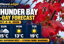
THUNDER BAY – Monday, October 5, 2026 – Thunder Bay will see a mild three-day stretch, with a mix of sun and cloud today, a warmer Tuesday and a chance of showers Wednesday. The main hazard is on Western Lake Superior, where Environment and Climate Change Canada has a strong wind warning in effect.
There was no active land-based weather alert listed for Thunder Bay when this report was checked. The latest posted Thunder Bay Airport observation was 5 C with west winds at 9 km/h and visibility of 24 kilometres at 1:00 a.m. EDT.
Three-day Thunder Bay forecast
| Date | Forecast | Temperature | Travel outlook |
|---|---|---|---|
| Monday, October 5 | A mix of sun and cloud. UV index 3, or moderate. | High 14 C. Clear tonight, becoming partly cloudy after midnight. Low 2 C. | Generally favourable on land. Watch for cool morning conditions and wet roads left by overnight showers. |
| Tuesday, October 6 | Cloud clearing through the day. A 30 per cent chance of showers Tuesday night. | High 19 C. Low 7 C. | Good daytime travel conditions, but showers and stronger lake winds may affect evening marine travel. |
| Wednesday, October 7 | A mix of sun and cloud with a 40 per cent chance of showers. Cloudy periods overnight with a 30 per cent chance of showers. | High 16 C. Low 4 C. | Allow extra time for wet roads and reduced visibility during showers. |
Environment Canada issued the Thunder Bay forecast at 6:33 p.m. EDT Sunday. Forecasts may change as the next weather system develops.
Air quality remains low risk
Thunder Bay’s Air Quality Health Index was 1, or low risk, at 6:00 a.m. Monday. The forecast maximum is 2, also low risk, for Monday, Monday night, Tuesday and Tuesday night.
People can continue normal outdoor activities. Anyone with heart or lung conditions should still follow their regular medical advice and monitor symptoms.
Western Lake Superior marine forecast
Strong wind warning in effect: The warning applies to offshore waters of Western Lake Superior. ECCC defines strong winds in this program as sustained winds of 20 to 33 knots.
- Monday morning: Northwest winds near 20 knots, easing to 15 knots.
- Monday afternoon: Winds easing to west 10 knots.
- Monday evening: Winds increasing to south 15 knots.
- Tuesday: Winds becoming southwest 20 knots near noon.
- Wednesday: Northwest winds near 20 knots.
Periods of rain are ending early Monday. Scattered showers are expected Tuesday afternoon and evening. The marine bulletin does not identify a specific fog restriction for this period, but visibility can fall quickly in rain.
Wave forecast
Offshore waves are forecast at about 2 metres Monday morning. They should subside to 1 metre near noon and to 0.5 metres or less Monday evening. Waves are expected to build to 1 metre late Monday night and reach about 1.5 metres Tuesday afternoon.
These are offshore wave heights measured from trough to crest. Nearshore waves can be very different because of shoreline shape, islands, wind direction and local currents.
What this means for boaters
Small boats, canoes, kayaks and personal watercraft face their greatest risk Monday morning and again Tuesday afternoon. A 1.5-metre open-lake wave can make conditions uncomfortable or unsafe for smaller vessels, particularly when wind and waves are against the boat.
- Delay non-essential open-lake trips while the strong wind warning is active.
- Wear a properly fitted personal flotation device.
- Check the marine bulletin immediately before departure.
- Carry reliable communications and tell someone your route and return time.
- Do not judge open-lake conditions only from what is seen inside Thunder Bay Harbour.
- Return early if winds rise, waves build or visibility worsens.
Thunder Bay Harbour versus the open lake
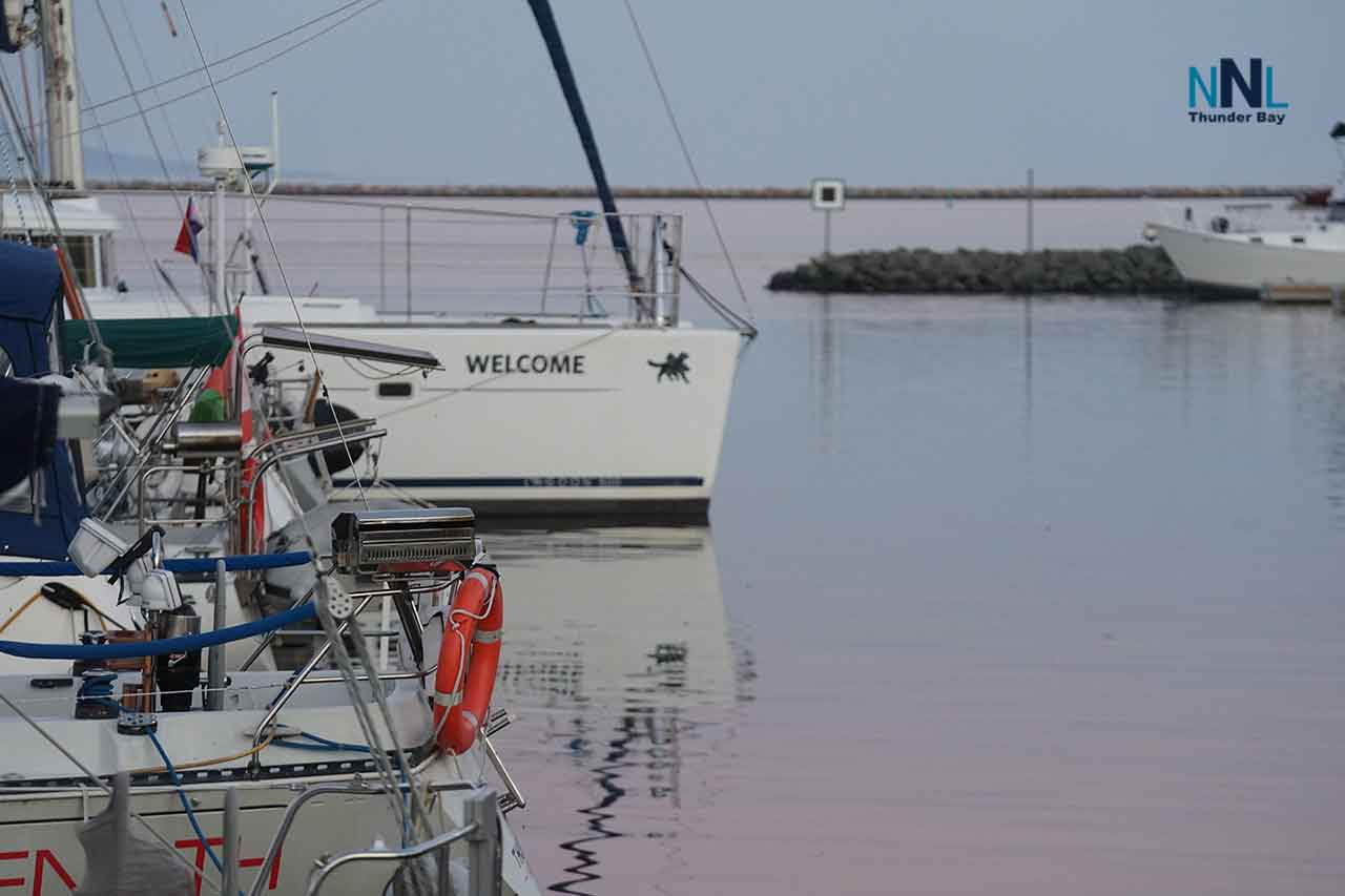
The harbour may be calmer because of the breakwater and shoreline shelter. That does not mean the open lake is safe. Conditions can change quickly outside the harbour entrance, around exposed points and near islands.
Harbour users should also watch for gusts and choppy water when leaving protected areas. A calm launch area can give a misleading impression of conditions farther offshore.
Travel and outdoor safety
- Drivers should use headlights during rain and leave extra space on wet roads.
- Secure patio furniture, signs, tarps and light construction materials before stronger winds arrive.
- Outdoor workers should prepare for cool mornings, a mild Tuesday afternoon and wet conditions Wednesday.
- People planning shoreline work should monitor both the land forecast and the marine warning.
- Check ferry, charter and recreational boating schedules before travelling.
Extended marine outlook
After Tuesday’s southwest winds, Wednesday is expected to bring northwest winds near 20 knots. Thursday brings west winds near 15 knots, veering to northwest 20 knots. Friday winds are expected to be northwest 15 knots, easing later in the day.