Northwest Wildfire Update: 146 Active Fires as Major Incidents Remain Out of Control
THUNDER BAY – WILDFIRE UPDATE – Thirteen new wildland fires were discovered across Northwestern Ontario by late Sunday, with major fires near Thunder Bay and Atikokan continuing to demand extensive crews, equipment and emergency-management resources.
Three of the newly discovered fires had been extinguished by the time Ontario’s Aviation, Forest Fire and Emergency Services issued its 9:10 p.m. CDT update on July 19.
There were 146 active wildland fires across the Northwest Fire Region. Of those, 51 were not under control, seven were being held, eight were under control and 80 were being observed.
The scale of the current fire load is affecting communities, remote travel routes, provincial parks, aviation and resource operations across Northwestern Ontario. Evacuation orders, access restrictions and a broad ban on outdoor burning remain in place as conditions continue to evolve.
Thirteen New Fires Discovered Across Northwest Region
Thunder Bay 60, listed as THU060, was confirmed during the evening of July 18 near Lehtinen Lake on the southwest side of Lake Nipigon. The fire measures 388 hectares and is being observed.
Dryden 39, or DRY039, is burning in the southern portion of Wabakimi Provincial Park between Seseganaga Lake and Wapikaimaski Lake. The five-hectare fire is not under control.
Dryden 40 and Dryden 41 are north of Wapikaimaski Lake near Antler Lake. The fires measure 3.5 hectares and 0.1 hectares respectively. Both are not under control.
Dryden 42 is a one-hectare fire near the south end of Gastmeier Lake, west of Toque Road. It is not under control.
Fort Frances 42 was discovered approximately 23 kilometres northeast of Atikokan near Dunnet Lake. It was declared out at 0.1 hectares.
Fort Frances 43 is approximately 1.2 kilometres northwest of Crowrock Lake, south of White Otter Lake. The 0.1-hectare fire is not under control.
Fort Frances 44 is approximately one kilometre east of Highway 502 near Laver Lake. It measures 0.1 hectares and is not under control.
Kenora 20 is burning on an island in Lake of the Woods near Nola Lake. The 0.1-hectare fire is being held.
Kenora 21, located on a small island east of Corkscrew Island in Lake of the Woods, was declared out at 0.1 hectares.
Kenora 22 was located south of Highway 596 between Trout Lake and Meekin Lake. It was also declared out at 0.1 hectares.
Sioux Lookout 100 and Sioux Lookout 101 are east of South Shore Drive, south of David Lake. Both fires measure 0.1 hectares and are not under control.
Incident Management Team Takes Command of Thunder Bay 36
An Incident Management Team has assumed command of Thunder Bay 36, one of the largest active fires in the region.
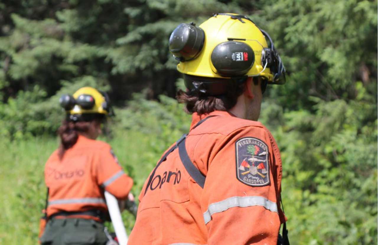
The fire is estimated at 318,812.7 hectares and remains not under control. FireRanger crews and heavy-equipment operators are assigned to suppression efforts.
Recent rain has temporarily reduced fire activity, but the province says the overall hazard remains high across the fire area.
At more than 318,000 hectares, the fire represents a major and prolonged emergency-management challenge. Its size increases the potential for disruptions to remote transportation, forestry activities, traditional land use and access to communities and camps across the affected area.
Rain can reduce surface fire activity for a limited period, but it does not necessarily extinguish deep-burning areas or remove the risk of renewed growth when dry, hot or windy conditions return.
Alberta Crews Join Fight Against Fort Frances 14
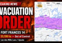
Fort Frances 14 remains not under control at 51,806 hectares.
Firefighters from Alberta were assigned to the fire Sunday to support Ontario’s suppression effort. Interprovincial deployments are commonly used during periods of high fire activity when additional personnel and specialized resources are required.
Fort Frances 15 has been remapped at 41,830.2 hectares and remains not under control.
Fort Frances 38, north of Crystal Lake, is now under control at 44.2 hectares.
Minimal fire behaviour was observed across the Atikokan-area fires on Sunday. Conditions could change quickly, however, depending on wind, temperature, humidity and further precipitation.
The cluster of fires is particularly significant for Atikokan and surrounding communities because of its potential to affect evacuation routes, tourism operations, remote properties and travel through the Rainy River District.
Special Aviation Restrictions Near Fort Frances 14
A Notice to Airmen, commonly known as a NOTAM, is in effect near Fort Frances 14, northeast of Byers Lake.
The NOTAM is in addition to standard Canadian Aviation Regulations that restrict airspace around active forest fires to authorized wildfire-suppression aircraft.
Under those regulations, unauthorized aircraft must remain outside airspace extending five nautical miles around an active fire and up to 3,000 feet above ground level.
The restrictions protect waterbombers, helicopters and other aircraft operating in smoky conditions and at low altitudes. Unauthorized aircraft, including drones, can force fire-suppression aircraft to leave an area and delay operations.
Pilots should consult NAV Canada’s Collaborative Flight Planning Services for current wildfire NOTAM information before flying.
Evacuation Orders and Alerts Remain in Effect
Evacuation orders and alerts remain connected to Fort Frances 14, Fort Frances 15 and Fort Frances 38.
Residents and travellers should follow instructions issued by affected First Nations, municipalities, police and provincial emergency officials.
Wildfire evacuations in Northwestern Ontario can be especially complicated for remote and northern communities where road access is limited or unavailable. Aircraft, buses and host-community accommodations may all be required to move residents safely.
People in communities under an evacuation alert should be prepared to leave with little notice. Essential medications, identification, important documents, mobile devices, chargers and supplies for children, elders and pets should be kept ready.
Travel Restrictions Cover Thunder Bay and Dryden District Fires
An implementation order is in effect around Thunder Bay 36, Thunder Bay 54, Thunder Bay 56, Dryden 34 and Dryden 35.
Travel and land use within the areas identified in the provincial order are prohibited unless a person has authorization or an exemption permit.
The restrictions are intended to protect the public and allow firefighters, heavy equipment and aircraft to work without interference.
The order covers specified roads, lakes and land areas in the Thunder Bay–Ignace District. Travellers, anglers, campers, forestry workers and residents with remote properties should check the provincial wildfire information service before entering the affected region.
Expanded Restricted Fire Zone Bans Campfires
A Restricted Fire Zone remains in effect across the Northwest Fire Region and portions of the Northeast Fire Region because of the high to extreme fire hazard, the number of active fires and the risk of additional human-caused fires.
The original Northwest Restricted Fire Zone took effect July 15. It was expanded into another section of the Northeast Region on July 18.
The restricted area extends across a wide section of Northern Ontario, including land from the Manitoba boundary through the Far North and east toward the Ontario–Quebec boundary, as well as areas north and east of Lake Superior.
No open-air burning, including campfires, is permitted within the Restricted Fire Zone. All outdoor burning permits are suspended. Portable gas or propane stoves may be used for cooking and warmth, but they must be operated with extreme caution.
The Restricted Fire Zone will remain in effect until further notice.
The ban is intended to reduce preventable fires while provincial crews and aircraft are committed to existing incidents. Even a small human-caused fire can divert personnel and equipment from fires threatening communities and transportation corridors.
Fire Danger Remains High Across Northwestern Ontario
Ontario calculates regional forest fire danger using data from more than 130 weather stations.
Ratings can change throughout the day as wind, humidity, temperature and rainfall information is updated.
Residents should check the province’s interactive fire map before travelling into forested areas. Fire conditions may differ considerably between communities, even within the same district.
How to Report a Wildland Fire
To report a wildland fire north of the French and Mattawa rivers, call 310-FIRE (3473).
To report a wildland fire south of the French or Mattawa rivers, call 911.
Members of the public should not approach a wildfire or enter a restricted area to take photographs or video. Wildfire conditions can change rapidly, and unauthorized activity can interfere with suppression and evacuation operations.