
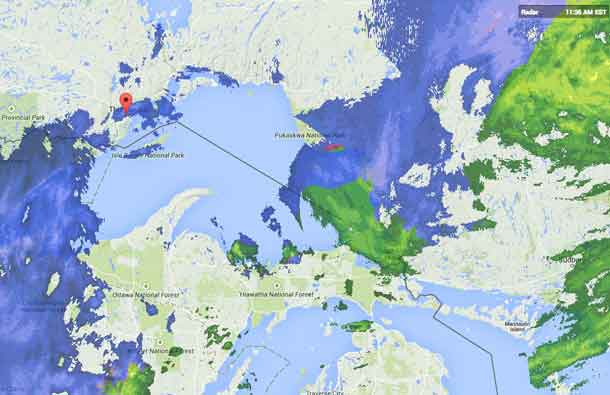
THUNDER BAY – WEATHER – The forecast for Thunder Bay is now calling for snow and local blowing snow. Snow and ice pellet amounting to 5 cm. Winds north 20 km/h gusting to 40. The temperature will be steady near minus 6.
Environment Canada has ended all Weather Alerts and Warnings for the City of Thunder Bay. There are another two cm of snow in the forecast for later tonight.
A deep low pressure area tracking from northern lower Michigan across northeastern Ontario today into northwestern Quebec by this evening has brought a large area of rain and patchy fog with it to the regions, with most areas expecting to receive 20 to 30 mm by this evening.
The low will drag a sharp Arctic cold front across the regions this evening, causing temperatures to drop to below freezing and the precipitation to change over to snow. Most regions will receive 5 to 10 cm of snow by the time it tapers to scattered flurries Tuesday. A few locally higher snow amounts of 10 to 15 cm are possible.
Strong and gusty winds are also expected in the wake of the cold front, especially near the North Shore of Lake Huron where a few gusts of 70 to possibly 80 km/h are expected.
Driving conditions are expected to become hazardous tonight as the precipitation changes over to snow. Untreated surfaces may become icy and slippery as the temperature drops below the freezing mark tonight. Low visibilities may also occur in snow and local blowing snow.
The snow will move out of the regions by Tuesday night as the low pressure centre moves away.
Snowfall warning in effect for:
- Geraldton – Longlac – Caramat
- Nakina – Aroland – Pagwa
Snowfall, with total amounts of about 15 cm is expected.
Precipitation has changed over to all snow, with 10 cm expected by this evening and another 5 cm or so expected tonight. In addition, gusty northerly winds are expected to cause reduced visibility in exposed areas due to local blowing snow. Hazardous travelling conditions are expected, and travellers should allow extra time to reach their destination.
Visibility may be suddenly reduced at times in heavy snow. Surfaces such as highways, roads, walkways and parking lots may become difficult to navigate due to accumulating snow.


