Dryden – WEATHER DESK – It is a morning to make sure that your kittens have mittens.
At 6:00 a.m. CST, the Dryden Airport reports clear skies and –8.5°C (feels like –11). Pressure 102.2 kPa, humidity 83%, wind SSW 4 km/h, and visibility 16 km. Fog patches thin this morning, then the sun does its work—but keep an eye on the late-day change.
Today — Sunny but Crisp, Fog Fades
Sunshine holds with light winds up to 15 km/h. After a sharp morning wind chill near –12, the afternoon edges to a high of +1°C (still feeling close to –3 in the shade). Roads stay dry; shaded sidewalks remain frosty. UV index 1 (low).
Tonight — Clouding Over, Periods of Snow Late, Freezing Rain Risk
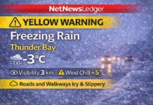
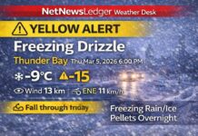
Clear early, then increasing cloud near midnight with periods of snow overnight and a risk of freezing rain toward morning. Winds light (up to 15 km/h). Low –3°C, wind chill near –7 overnight. Expect slick patches on bridges, ramps, and untreated side streets by dawn.
Wednesday — Early Snow Ends, Then Drizzle/Showers; Watch the Glaze
Periods of snow end near noon, then cloudy with a 40% chance of drizzle or rain showers. There’s a risk of freezing rain in the morning during the transition. Winds light (up to 15 km/h). High +2°C; wind chill –6 early. Wednesday night stays cloudy with a 60% chance of flurries or rain showers, low 0°C.
Thursday — Unsettled and Cooler
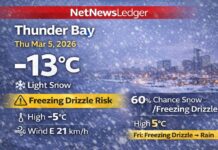
Cloudy with a 60% chance of flurries or rain showers, high 0°C. Thursday night: cloudy with a 30% chance of flurries, low –6°C.
Friday — Grey and Colder
Cloudy, high –4°C. Friday night: cloudy periods, low –8°C. Classic November shuffle—nothing dramatic, but conditions flip fast after dark.
What to Wear & Road Tips
Go with layers: thermal base, warm mid-layer, and a wind-resistant jacket. Add a toque and insulated gloves for the morning chill. Lace up waterproof, grippy boots—they matter if freezing rain shows up late tonight or early Wednesday. Drivers: slow down for black ice on bridges and shaded hills; leave extra room, and clear all windows fully.
By the Numbers (Current)
Wind: SSW 4 km/h • Pressure: 102.2 kPa • Humidity: 83% • Visibility: 16 km
Local Weather Trivia
That quick flip from snow to drizzle to flurries happens when a thin warm layer slides over shallow surface cold air—perfect setup for freezing rain. It doesn’t take much to glaze a sidewalk.

